Category: Fitness

All things fitness related.

  • Day 005 of 2026

    Well, I had hoped for something new, interesting and exciting to share with you all today…. but alas it’s just another boring day at the office. Work today, spend most of my day handling pricing requests and invoice reviews. I need to do some training material but I have to hear from my manager before I go too far down that rabbit hole.

    I did get out for a lunch time swim and slightly increased my distance. I will probably miss tomorrows swim because I will be on a meeting most of the morning and may not have time to go get wet.

    My times are getting a little better, but not where I want them to be. Also, I need to spend time doing some more 200 yard sets instead of just my warm-up and 100’s.

    I guess that’s all for this evening. See you tomorrow. See…. I live a pretty boring life.

    ๐Ÿ‘๏ธ
    0
    โค๏ธ
    0
    ๐Ÿ˜‚
    0
    ๐Ÿ˜ฎ
    0
    ๐Ÿ˜ข
    0
    ๐Ÿ˜ก
    0
  • Goodbye 2025…… Hello 2026

    Time to say goodbye to 2025 and hello to 2026. I know, everyone in the world makes a similar post at the New Year.

    I finally made some awesome progress on my goals to run/jog/walk all of the Aurora, CO Trails.

    And finally I made good progress on my other fitness goals this year. My Garmin tells the story:

    My work travels took me far and wide across the country this year. The pins on the map below tell the story.

    This afternoon I started my New Year’s Eve technology routine that I have been following for 20+ years:

    1. Clean out all of my inboxes and file all messages in the appropriate 2025 folders.
    2. Move all of my sent mail out of all the account’s sent mail boxes into my 2025 sent mail folder.
    3. Move all of my documents and downloads into my Documents_2025-Dec-31 and Downloads_2025-Dec-31 folders.
    4. Make sure my work logs and expense reports are all completed.
    5. Create my 2026 IMAP folder on the server with my basic sub-folders.
    6. Re-point all of my scripts to the appropriate folders in the 2026 files.
    7. Make sure phones and all devices are up to date.
    8. Do my online postings saying Happy New Year and goodbye to 2025.

    Then, I sit back, relax, do anything I forgot about. And make sure my dogs don’t get scared to death from the fireworks.

    So, what is next for 2026? I have a few goals, I hate the word “resolutions”, I can share some of them here:

    1. I need to get back into swimming shape. I finally got back into the pool a few months back and I can barely do 1,000 yards. This is from the guy that 3 years ago could do 5 and 10K open water swims.
    2. Need to loose 20 pounds. This may have something to do with the above problem.
    3. I want to do some hiking this year. I live in Colorado, there is so much I haven’t seen or done.
    4. I want to do at least one of the lake series swim events. Not sure which one yet.
    5. See where work takes me this year, but I need to attempt to maintain a work/life balance. Let’s see if I can make some progress on that.
    6. Try to get back into my glass sandblasting work. I think I am also going to invest in a CNC router/laster this year.
    7. I need to finally release my 52 weeks of HVAC that I have promised myself I would do for YouTube every year but never get around to it.

    I will probably not set many fitness goals for 2026 other than the swimming and the mountain lake series. I have had some health issues and have decided that I do not want to push myself too much. I want to be able to adjust based on how I feel.

    Anyways, Happy New Years everyone!

    ๐Ÿ‘๏ธ
    0
    โค๏ธ
    0
    ๐Ÿ˜‚
    0
    ๐Ÿ˜ฎ
    0
    ๐Ÿ˜ข
    0
    ๐Ÿ˜ก
    0
  • October 26, 2025 – Connections and Winter Prep

    October 26, 2025 – Connections and Winter Prep

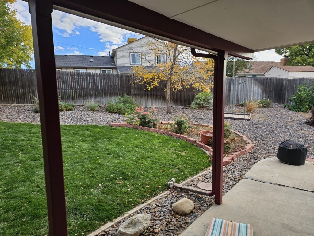
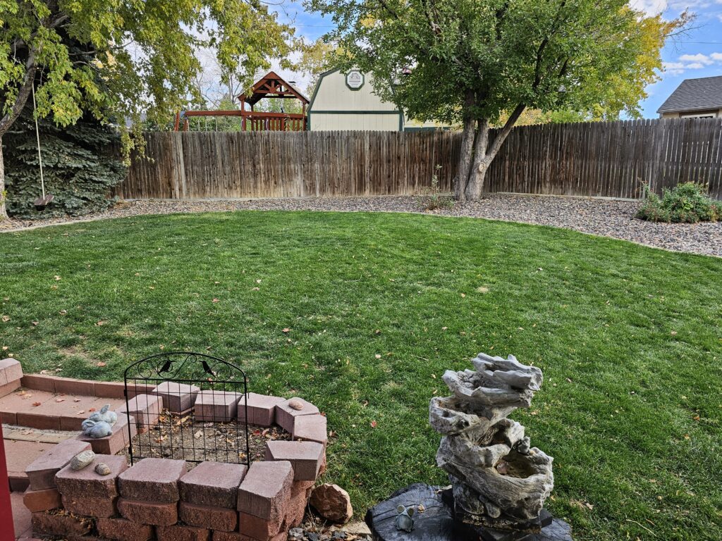
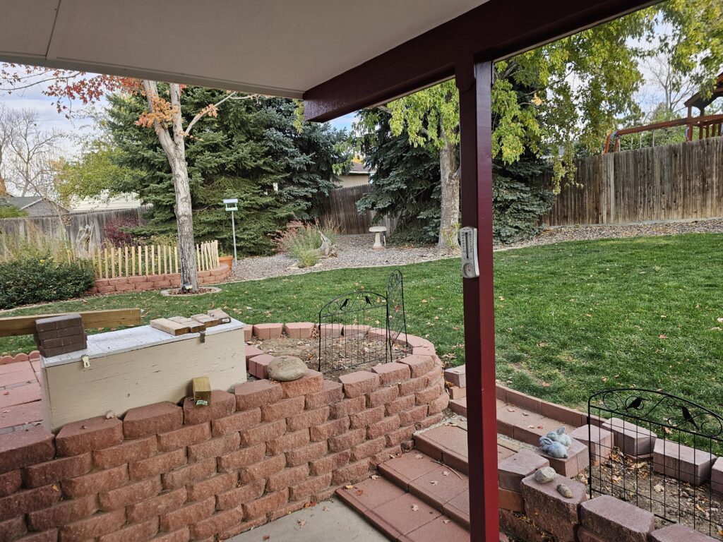
    Busy day today. It was Winter cleanup day here in Aurora, Colorado. First Jesse cleaned up the leaves around the rock in the backyard, then it was time to blow out the irrigation system so that the lines do not freeze over the Winter. We are now ready. Of course in the process of blowing the lines out we did find another broken pipe from last Winter. Can’t win on that. At least it is not the constant battle with sand that we had going on in Florida.

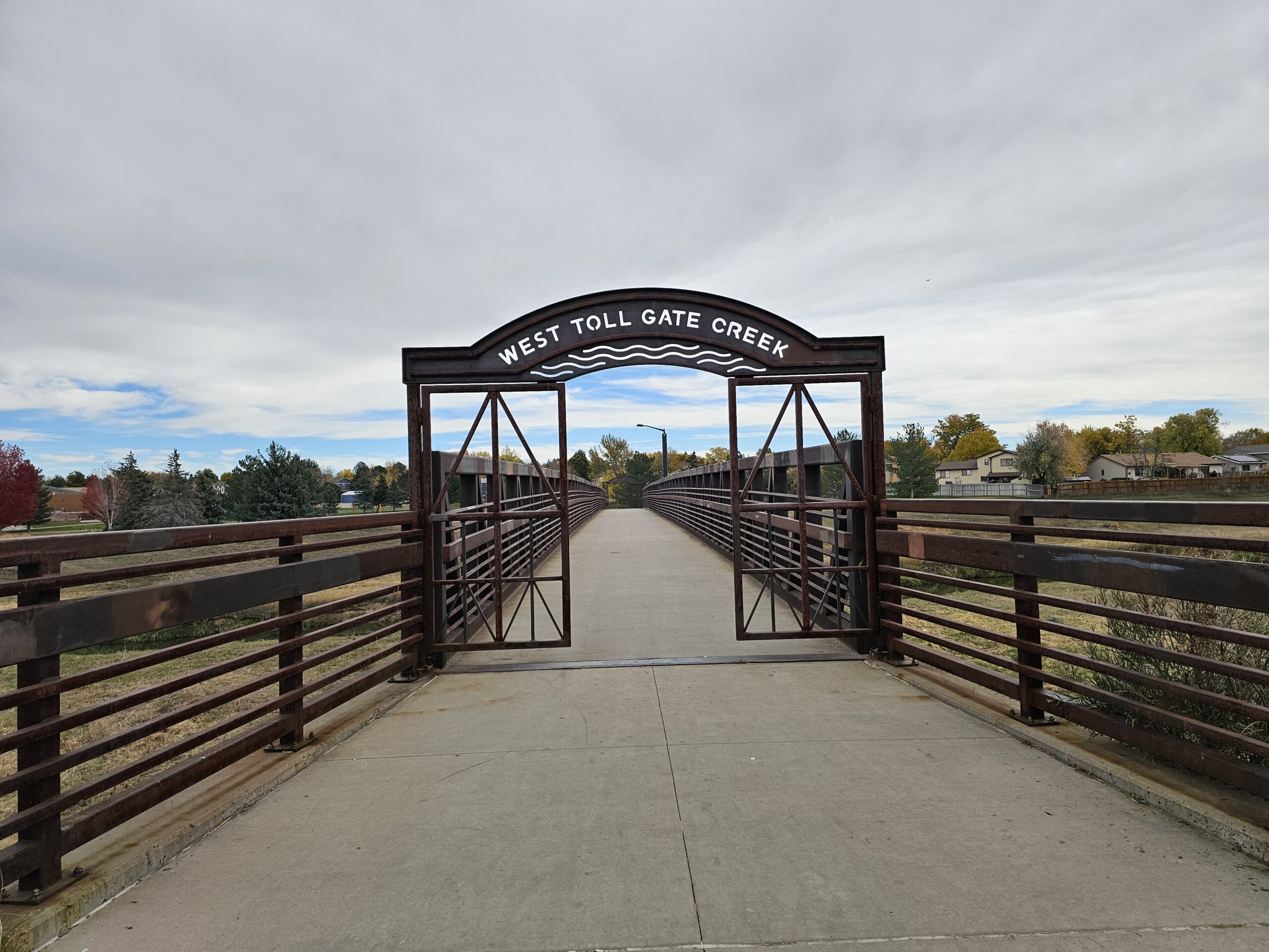
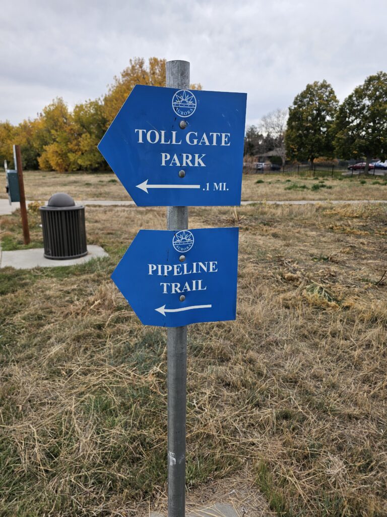
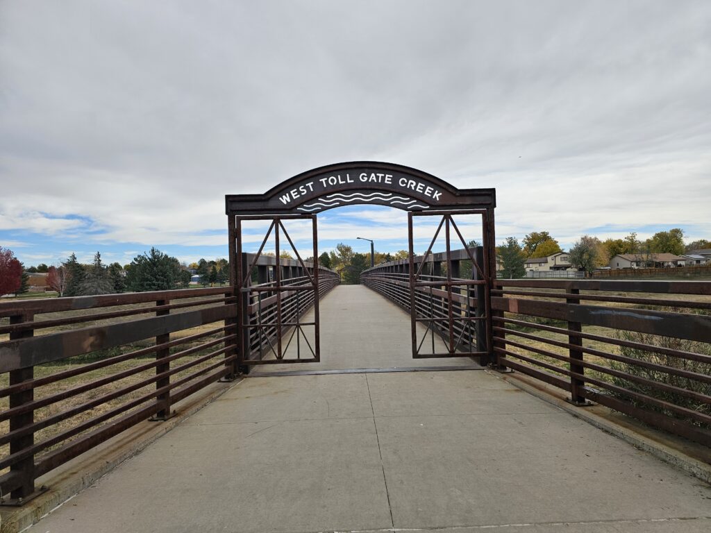
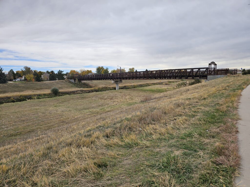
    I did get out for a little over an hour to connect the two sections of trails on my workout tracks that have been driving me nuts figuring out how I was going to connect them. Now that nagging space in the GPS maps is gone and I can start on the rest of the trails. My goal for this coming week is to finish the Toll Gate Creek Trail. There is not that much left.

    Climber got into some trouble today. She has re-started her high pitched whining when she can’t see her people. I really thought we were done with that, guess not. She is going to have to learn that this will just result in a loud bang on her crate and a “CLIMBER, KNOCK IT OFF!” Res hates it when we get onto Climber, he leaves the room and goes and sleeps someplace else.

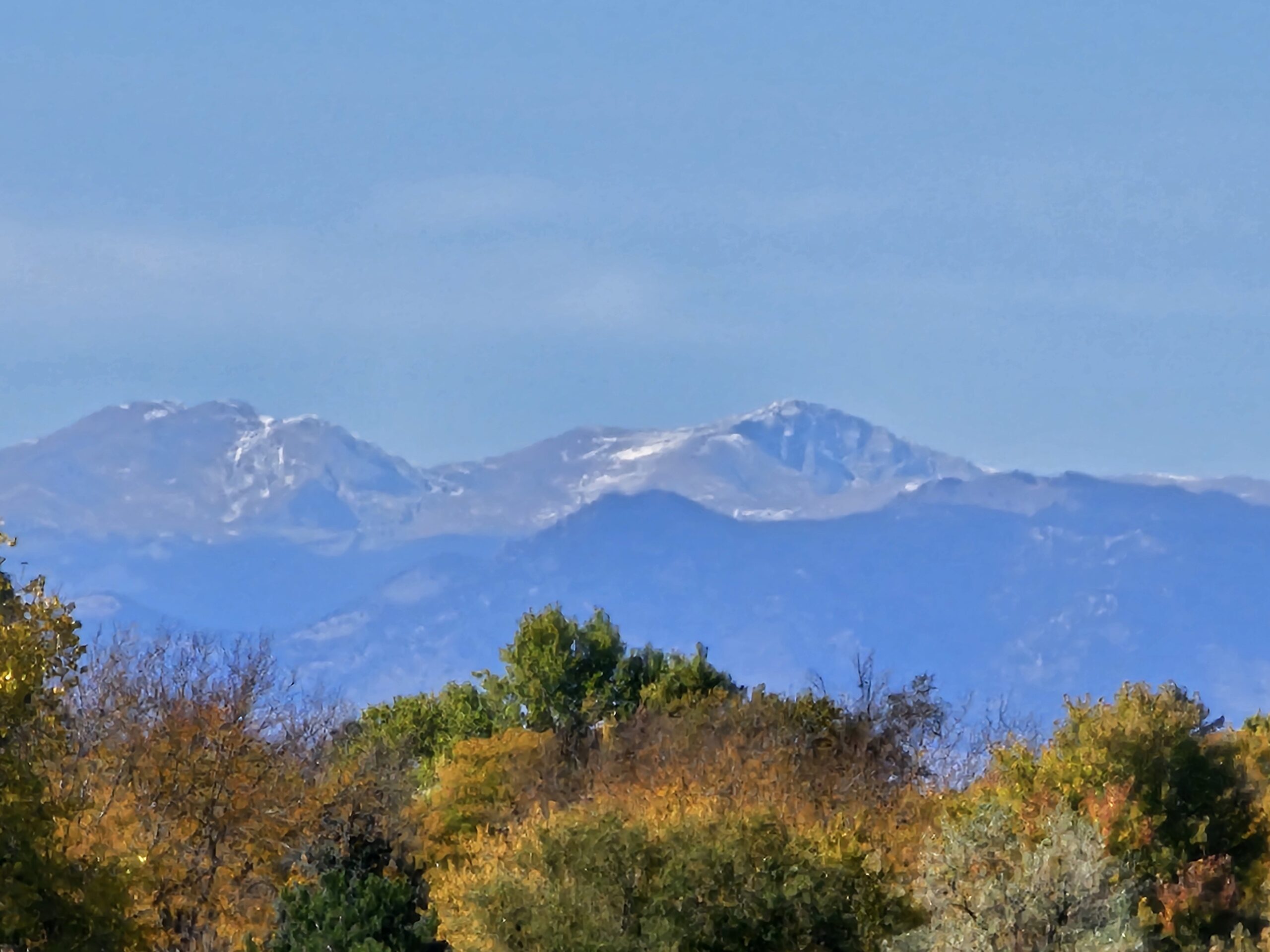
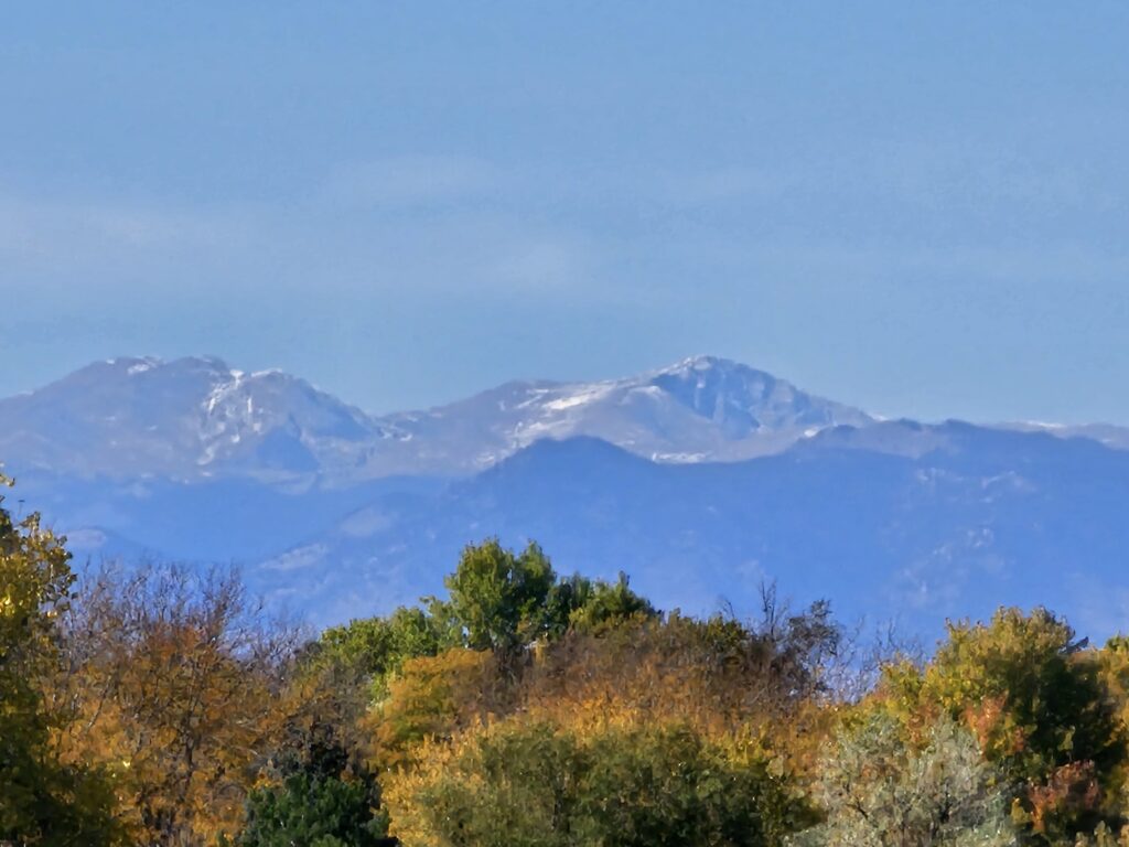
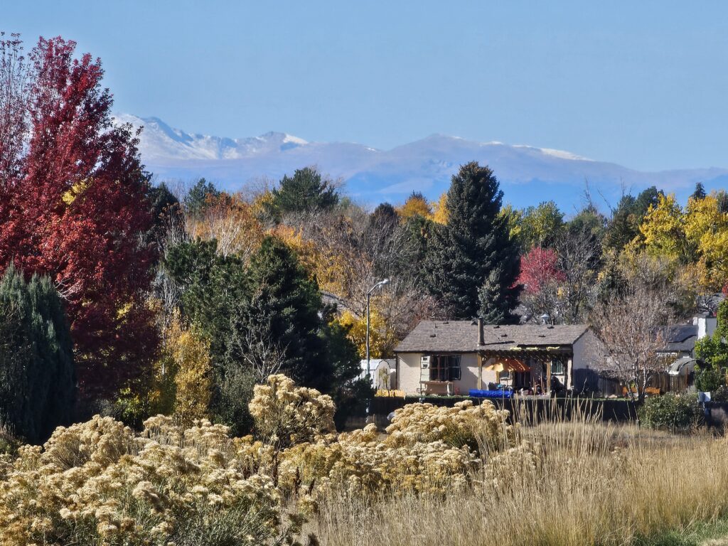
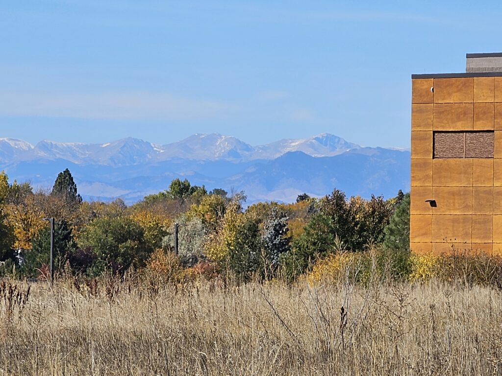
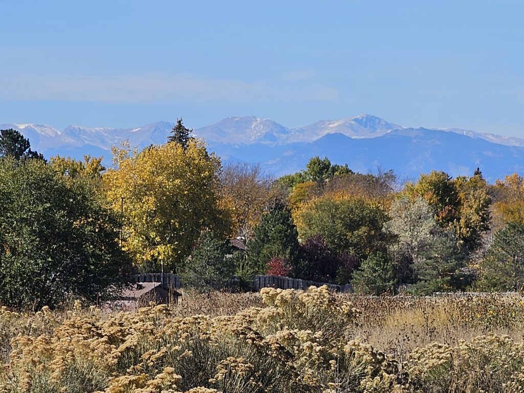
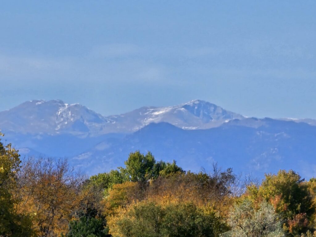
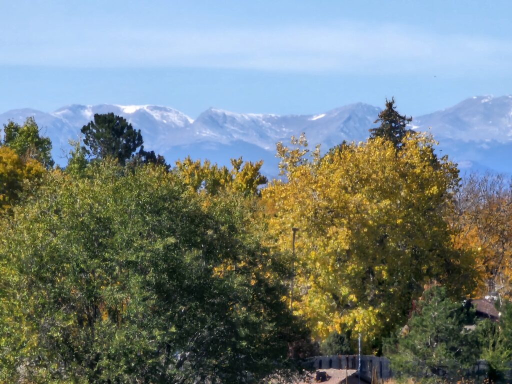
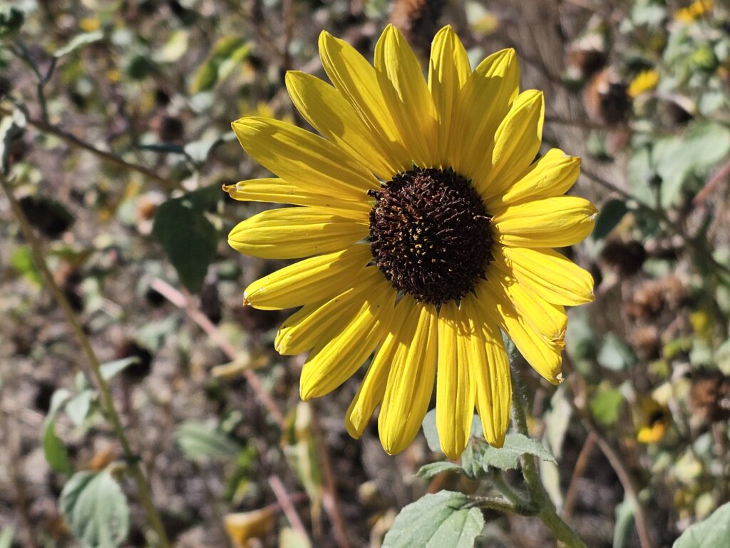
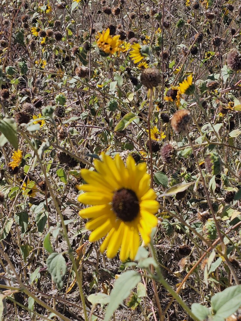
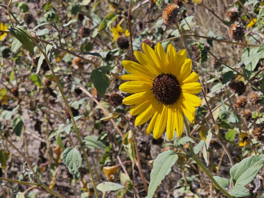
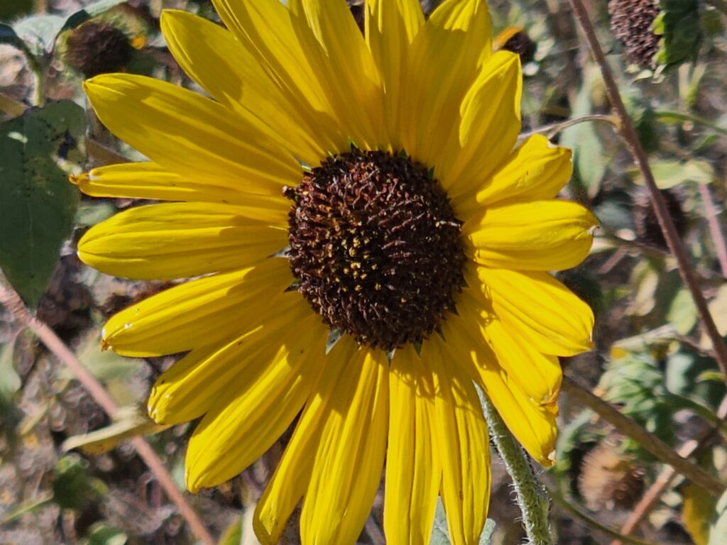
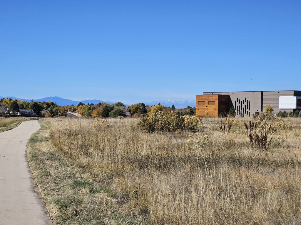
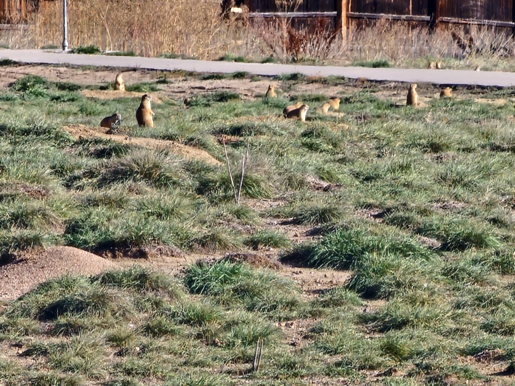
    The photos above are from various activities today.

    My GPS track for today’s workout:

    Map of the route โ€œOctober 26, 2025 – Connections and Winter Prepโ€: 5.09 mi, 348 ft of climbing and 341 ft of descent, elevation between 5,436 ft and 5,518 ft, time 01:14:44. It is a loop that starts and ends at 39.70971, -104.81321 (latitude, longitude).

    Total distance: 5.09 mi
    Max elevation: 5518 ft
    Min elevation: 5438 ft
    Total climbing: 347 ft
    Total descent: 341 ft
    Average speed: 4.21 mi/h
    Average cadence: 58
    Average heart rate: 129
    Average temperature:
    Total time: 01:14:42

    ๐Ÿ‘๏ธ
    0
    โค๏ธ
    0
    ๐Ÿ˜‚
    0
    ๐Ÿ˜ฎ
    0
    ๐Ÿ˜ข
    0
    ๐Ÿ˜ก
    0
  • October 25, 2025 – What to do today?

    October 25, 2025 – What to do today?

    This morning’s walk started at the Central Recreation Center and then up the Toll Gate trail to Horseshoe Park (yesterday’s area of interest) and then back down the Toll Gate Trail past the rec center and towards Quincy Reservoir. I still have a nagging little gap on the Toll Gate trail I will fill in on a day without much time (City Hall to Mississippi Avenue). Would really like to join those two sections, but parking is a pain in that area.

    Map of the route โ€œOctober 25, 2025 – What to do today?โ€: 4.94 mi, 266 ft of climbing and 256 ft of descent, elevation between 5,538 ft and 5,627 ft, time 01:13:09. It is a loop that starts and ends at 39.66858, -104.77686 (latitude, longitude).

    Total distance: 4.97 mi
    Max elevation: 5627 ft
    Min elevation: 5533 ft
    Total climbing: 265 ft
    Total descent: 255 ft
    Average speed: 4.12 mi/h
    Average cadence: 57
    Average heart rate: 131
    Average temperature:
    Total time: 01:13:33

    Took some neat photographs on my walk. Take a look at the gallery below.

    ๐Ÿ‘๏ธ
    0
    โค๏ธ
    0
    ๐Ÿ˜‚
    0
    ๐Ÿ˜ฎ
    0
    ๐Ÿ˜ข
    0
    ๐Ÿ˜ก
    0
  • October 24, 2025 – Horseshoe Park

    I am trying to get serious again with my effort to explore and map all of the Aurora, Co bike paths and trails. This is not a one year project and I did hit a setback with my coals with my health issues over the Summer.

    Today it was Horseshoe Park.

    Map of the route โ€œOctober 24, 2025 – Horseshoe Parkโ€: 4.87 mi, 361 ft of climbing and 361 ft of descent, elevation between 5,505 ft and 5,607 ft, time 01:11:08. It is a loop that starts and ends at 39.67913, -104.79951 (latitude, longitude).

    Total distance: 4.87 mi
    Max elevation: 5608 ft
    Min elevation: 5505 ft
    Total climbing: 362 ft
    Total descent: 361 ft
    Average speed: 4.17 mi/h
    Average cadence: 57
    Average heart rate: 129
    Average temperature:
    Total time: 01:11:07

    Nice walk to connect a Olympic Park from earlier this week with Powerline Trail

    My current progress since the doctors approved my return to activity follow my Cardiac Ablation and earlier IVC filter removal.

    Map of the route โ€œOctober 24, 2025 – Horseshoe Parkโ€: 56.85 mi, 5,702 ft of climbing and 5,732 ft of descent, elevation between 5,430 ft and 5,732 ft, time 1156:44:42. It starts at 39.69052, -104.77397 and ends at 39.69204, -104.77638 (latitude, longitude).

    Total distance: 58.55 mi
    Max elevation: 5732 ft
    Min elevation: 5429 ft
    Total climbing: 5702 ft
    Total descent: 5732 ft
    Average speed: 4.12 mi/h
    Average cadence: 57
    Average heart rate: 126
    Average temperature: 30.7
    Total time: 1156:44:41

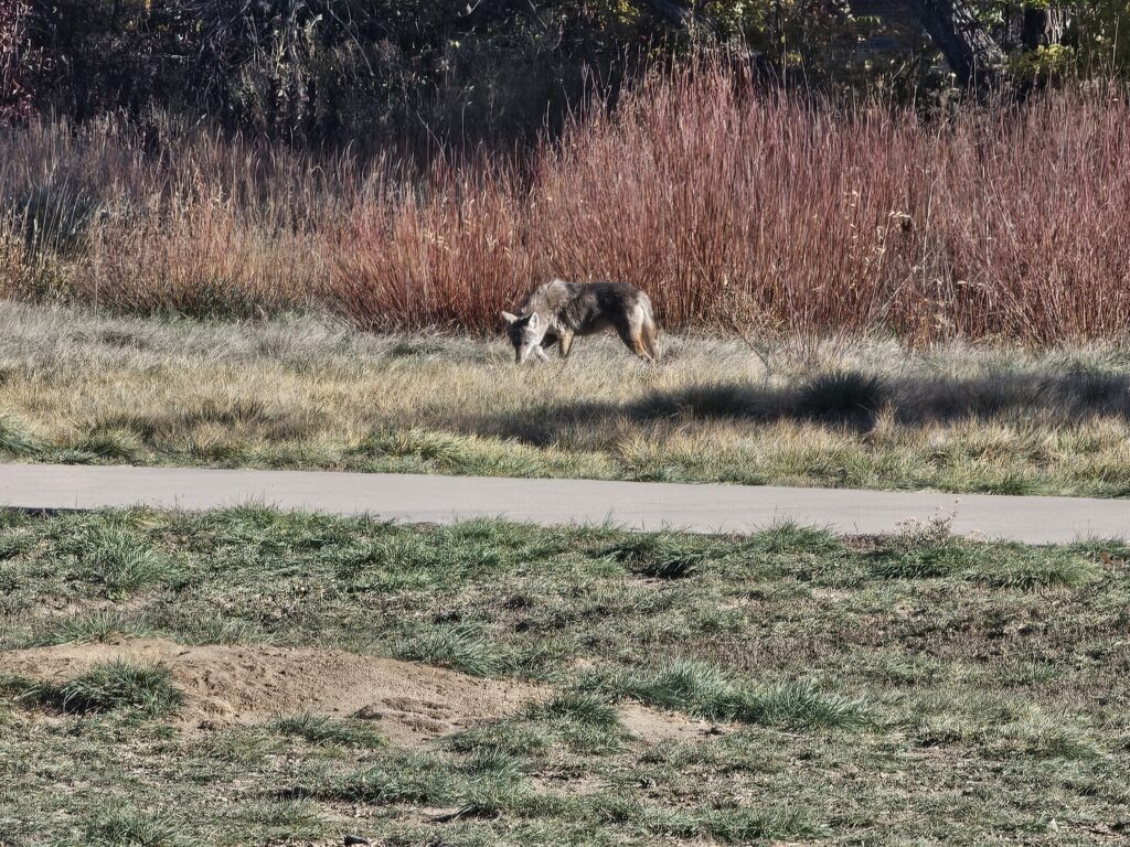
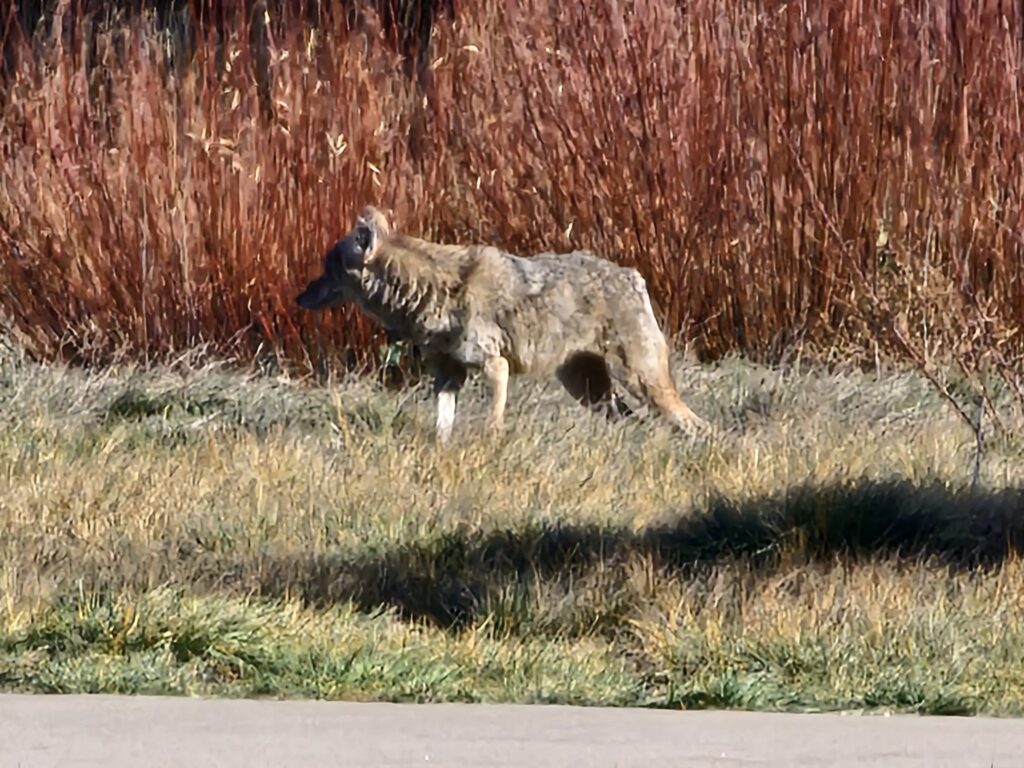
    Some wildlife was hunting and being hunted on the trail connecting Horseshoe Park to Toll Gate and Power Line Trails.

    ๐Ÿ‘๏ธ
    0
    โค๏ธ
    0
    ๐Ÿ˜‚
    0
    ๐Ÿ˜ฎ
    0
    ๐Ÿ˜ข
    0
    ๐Ÿ˜ก
    0
  • Had to get the walk in

    After doing some work around the house I decided to head out and get my steps/miles in for the day. I also listen to my podcasts during this time and try and figure out what’s wrong with the world. Sort of depressing but the walk helps. Came across some protesters outside the base entrance. Base security was not happy.

    Map of the route โ€œHad to get the walk inโ€: 3.79 mi, 479 ft of climbing and 433 ft of descent, elevation between 5,486 ft and 5,584 ft, time 01:01:13. It is a loop that starts and ends at 39.69073, -104.77445 (latitude, longitude).

    Total distance: 3.82 mi
    Max elevation: 5587 ft
    Min elevation: 5485 ft
    Total climbing: 479 ft
    Total descent: 432 ft
    Average speed: 3.86 mi/h
    Average cadence:
    Average heart rate: 114
    Average temperature:
    Total time: 01:01:36

    Ended up on more sidewalk than trail today. But, that is OK I really did want to see the neighborhood more.

    ๐Ÿ‘๏ธ
    0
    โค๏ธ
    0
    ๐Ÿ˜‚
    0
    ๐Ÿ˜ฎ
    0
    ๐Ÿ˜ข
    0
    ๐Ÿ˜ก
    0
  • New Route Today

    I really wanted to see where the Power Line Trail ended up, so we did a new portion of trail and park. Started and stopped at the house.

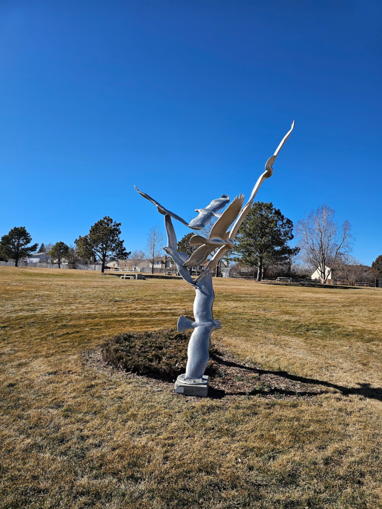
    A neat sculpture in Saddlecreek park.

    Map of the route โ€œNew Route Todayโ€: 4.71 mi, 531 ft of climbing and 482 ft of descent, elevation between 5,705 ft and 5,837 ft, time 01:14:56. It is a loop that starts and ends at 39.69069, -104.77471 (latitude, longitude).

    Total distance: 4.72 mi
    Max elevation: 5837 ft
    Min elevation: 5704 ft
    Total climbing: 531 ft
    Total descent: 484 ft
    Average speed: 3.89 mi/h
    Average cadence:
    Average heart rate: 115
    Average temperature:
    Total time: 01:15:05

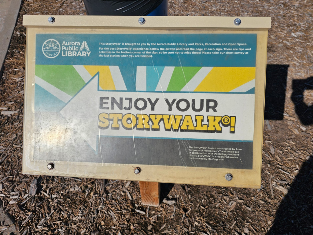
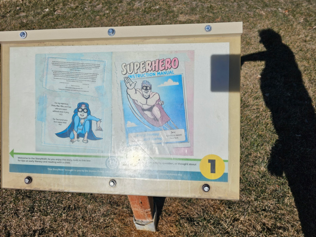
    For the kids, Saddle Creek Park has a story walk.

    Have to explore some more of it tomorrow.

    ๐Ÿ‘๏ธ
    0
    โค๏ธ
    0
    ๐Ÿ˜‚
    0
    ๐Ÿ˜ฎ
    0
    ๐Ÿ˜ข
    0
    ๐Ÿ˜ก
    0
  • 4.5 Miles of Bike Trail.

    Decided to try another 4.5 miles of Aurora, CO trails today.

    Map of the route โ€œ4.5 Miles of Bike Trail.โ€: 4.27 mi, 390 ft of climbing and 384 ft of descent, elevation between 5,469 ft and 5,591 ft, time 01:05:15. It is a loop that starts and ends at 39.69057, -104.77413 (latitude, longitude).

    Total distance: 4.29 mi
    Max elevation: 5591 ft
    Min elevation: 5470 ft
    Total climbing: 391 ft
    Total descent: 383 ft
    Average speed: 3.96 mi/h
    Average cadence:
    Average heart rate: 110
    Average temperature:
    Total time: 01:05:35

    ๐Ÿ‘๏ธ
    0
    โค๏ธ
    0
    ๐Ÿ˜‚
    0
    ๐Ÿ˜ฎ
    0
    ๐Ÿ˜ข
    0
    ๐Ÿ˜ก
    0
  • Aurora, CO Central Rec / Tollgate Creek Trail

    Decided to start at the Central Recreation Center and do the Tollgate Creek Trail.

    Map of the route โ€œAurora, CO Central Rec / Tollgate Creek Trailโ€: 4.10 mi, 597 ft of climbing and 623 ft of descent, elevation between 5,741 ft and 5,843 ft, time 01:03:18. It is a loop that starts and ends at 39.66836, -104.77669 (latitude, longitude).

    Total distance: 4.12 mi
    Max elevation: 5847 ft
    Min elevation: 5740 ft
    Total climbing: 598 ft
    Total descent: 624 ft
    Average speed: 3.98 mi/h
    Average cadence:
    Average heart rate: 121
    Average temperature:
    Total time: 01:03:43

    Nice walk overall.

    ๐Ÿ‘๏ธ
    0
    โค๏ธ
    0
    ๐Ÿ˜‚
    0
    ๐Ÿ˜ฎ
    0
    ๐Ÿ˜ข
    0
    ๐Ÿ˜ก
    0
  • Good Morning! Res Walk

    This is the morning Res walk before I head off to the Airport. I did do an extra 6 miles or so in the airport but the GPS tracks are non-existent.

    Map of the route โ€œGood Morning! Res Walkโ€: 1.23 mi, 190 ft of climbing and 154 ft of descent, elevation between 5,627 ft and 5,696 ft, time 00:35:19. It is a loop that starts and ends at 39.69073, -104.77583 (latitude, longitude).

    Total distance: 1.24 mi
    Max elevation: 5697 ft
    Min elevation: 5627 ft
    Total climbing: 192 ft
    Total descent: 156 ft
    Average speed: 2.55 mi/h
    Average cadence:
    Average heart rate: 89
    Average temperature:
    Total time: 00:35:41

    ๐Ÿ‘๏ธ
    0
    โค๏ธ
    0
    ๐Ÿ˜‚
    0
    ๐Ÿ˜ฎ
    0
    ๐Ÿ˜ข
    0
    ๐Ÿ˜ก
    0