Sometimes a long walk is all you need. Exploring the Aurora trails
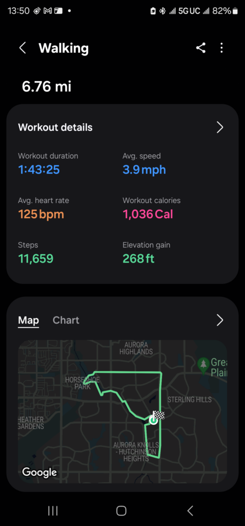
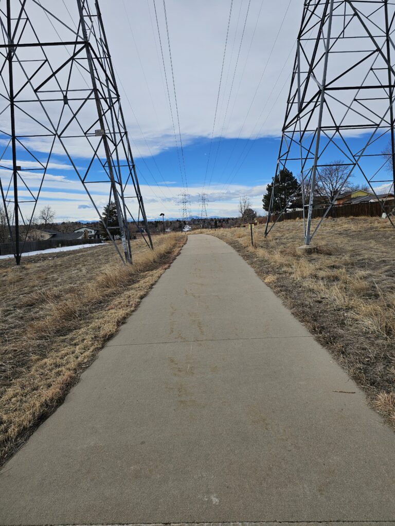
Unlike Florida things here have hills. The powerline trail is great.
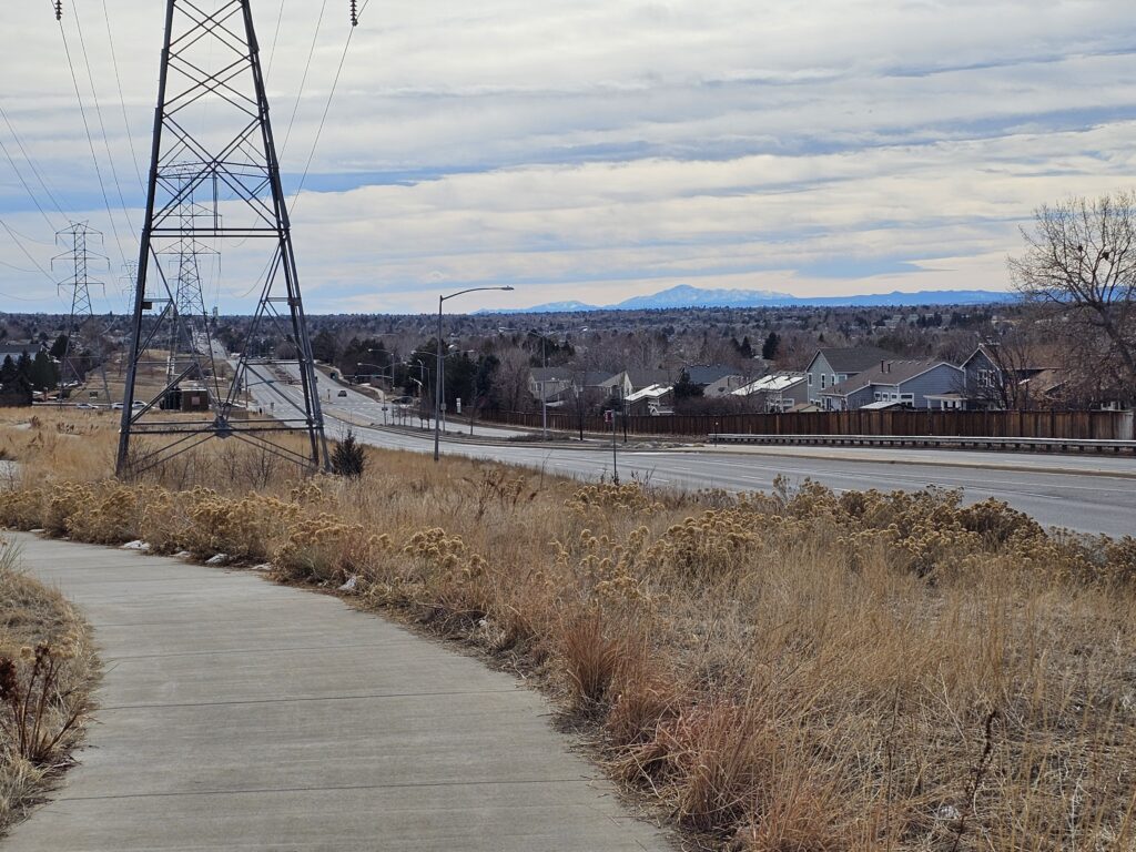
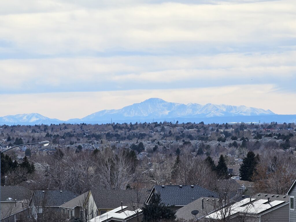
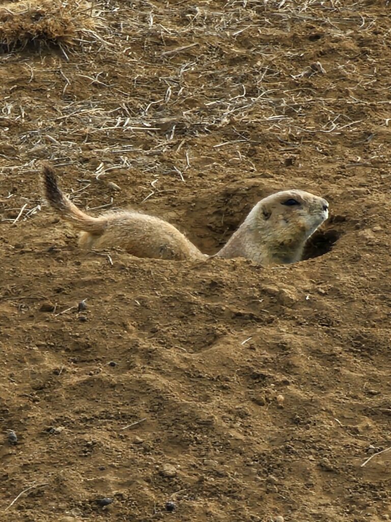
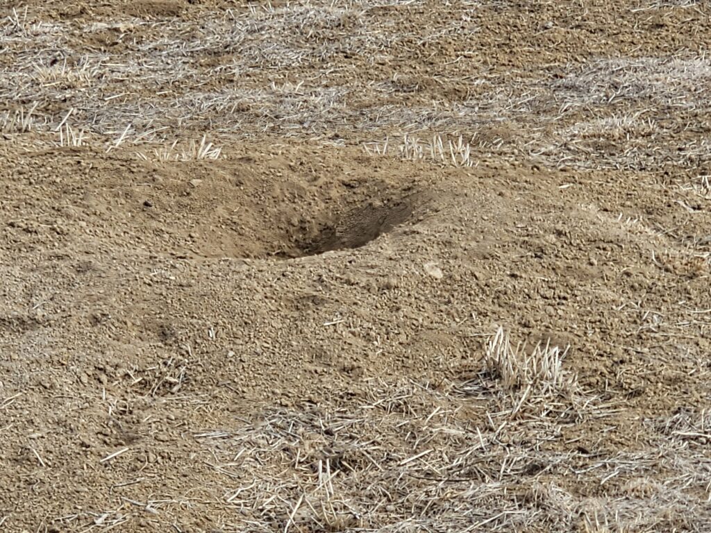
Saw the Prarie dogs
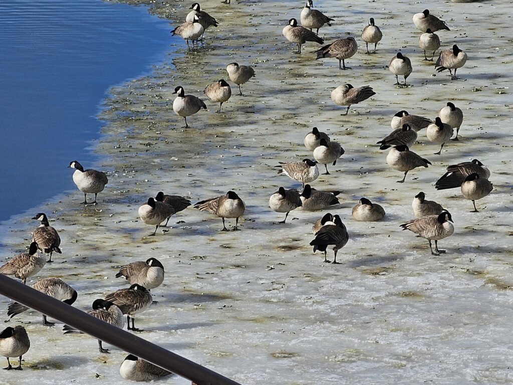
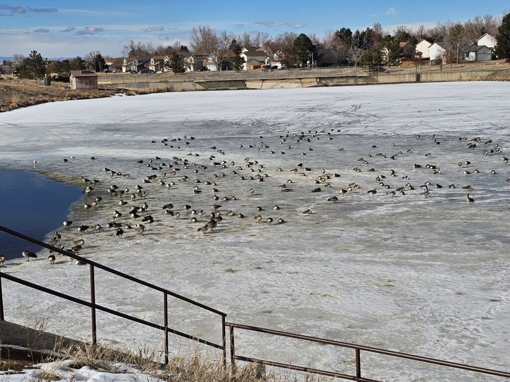
And ended the route with the geese
👍️
0
❤️
0
😂
0
😮
0
😢
0
😡
0
All things fitness related.
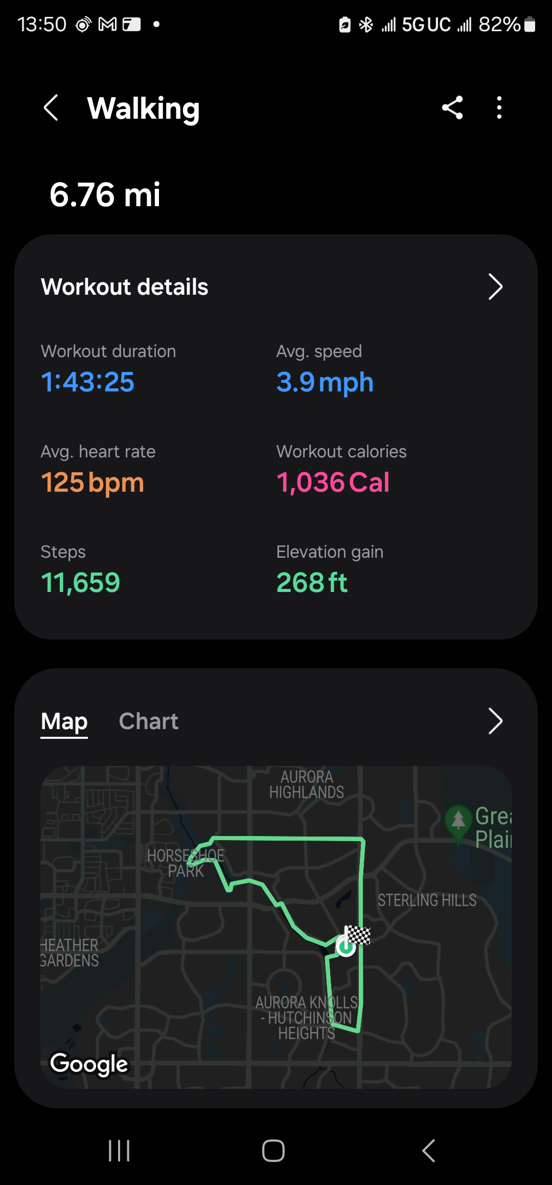
Sometimes a long walk is all you need. Exploring the Aurora trails
Unlike Florida things here have hills. The powerline trail is great.
Saw the Prarie dogs
And ended the route with the geese
I am trying to explore the Aurora, CO trail network as a part of my fitness plan. I really need to loose about 20% of my weight, so the immediate goal is 10%, like 25 pounds. Not easy to do with my travel and all, but I think if I start watching my diet and continue my walking, I think I can safely do this.
Anyways, today’s walk started and ended out the house.
Map of the route “Some Aurora, CO Trail Exploration today”: 1.08 mi, 118 ft of climbing and 128 ft of descent, elevation between 5,568 ft and 5,627 ft, time 00:28:04. It is a loop that starts and ends at 39.69070, -104.77432 (latitude, longitude).
Not bad.
After some travel and some nasty weather, I am back.
Map of the route “I’m Back!”: 2.37 mi, 253 ft of climbing and 220 ft of descent, elevation between 5,558 ft and 5,627 ft, time 00:37:47. It is a loop that starts and ends at 39.69069, -104.77482 (latitude, longitude).
Let’s see if I can keep the streak going!
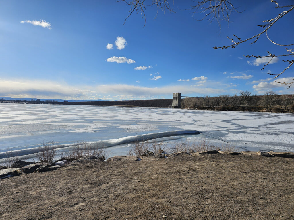
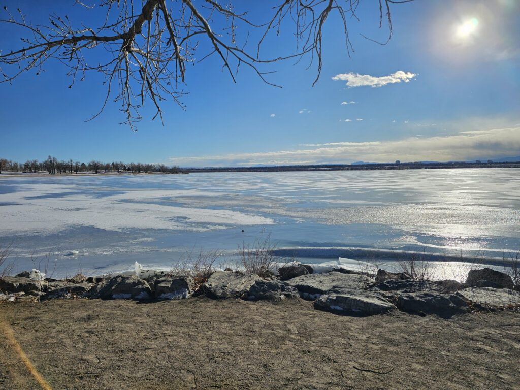
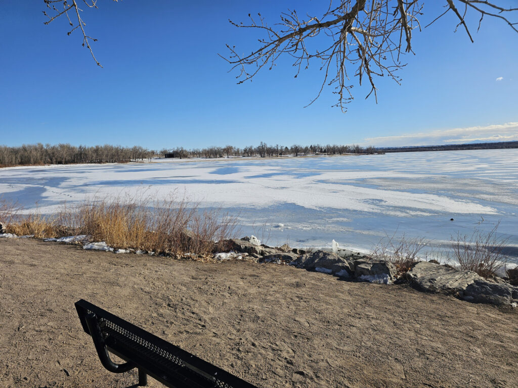
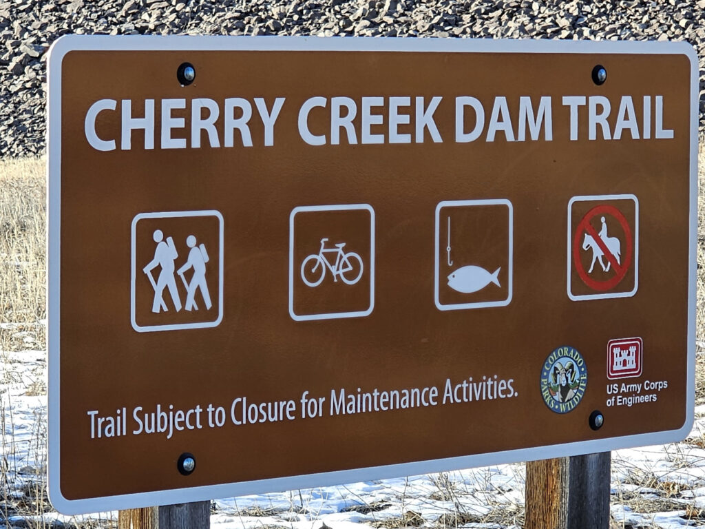
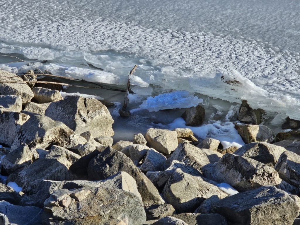
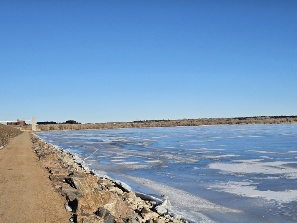
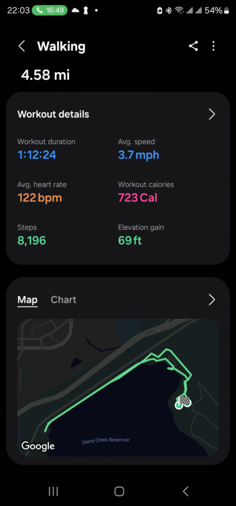
Did a 4.58 mile walk/slow jog along the Cherry Creek Dam trail in Aurora, CO. I am trying to explore all of the town trails. Lake is frozen over with the ice expanding up over the rocks of the dam.
I want to do the full around the lake trail, but that may have to wait until a Spring weekend.
We are expecting snow and travel for me, so it may be a few days before I get back on the trails. I can’t take the chance of getting hurt. There are going to be some indoor workouts that I won’t post here because I can’t get good GPS tracks from indoor tracks and treadmills.
Map of the route “Good Morning”: 3.46 mi, 226 ft of climbing and 331 ft of descent, elevation between 5,479 ft and 5,614 ft, time 00:52:36. It starts at 39.69110, -104.77553 and ends at 39.70876, -104.81836 (latitude, longitude).
Another day in the books. Got some trail walk in. I am seeing progress as I am starting to feel better while walking. Not so much out of breath.
Map of the route “Saturday Morning on the Trails”: 6.40 mi, 719 ft of climbing and 699 ft of descent, elevation between 5,525 ft and 5,686 ft, time 01:41:22. It is a loop that starts and ends at 39.69052, -104.77418 (latitude, longitude).
Today is a nice snowy day. So an indoor 2 mile track walk( boring) and then a short swim.
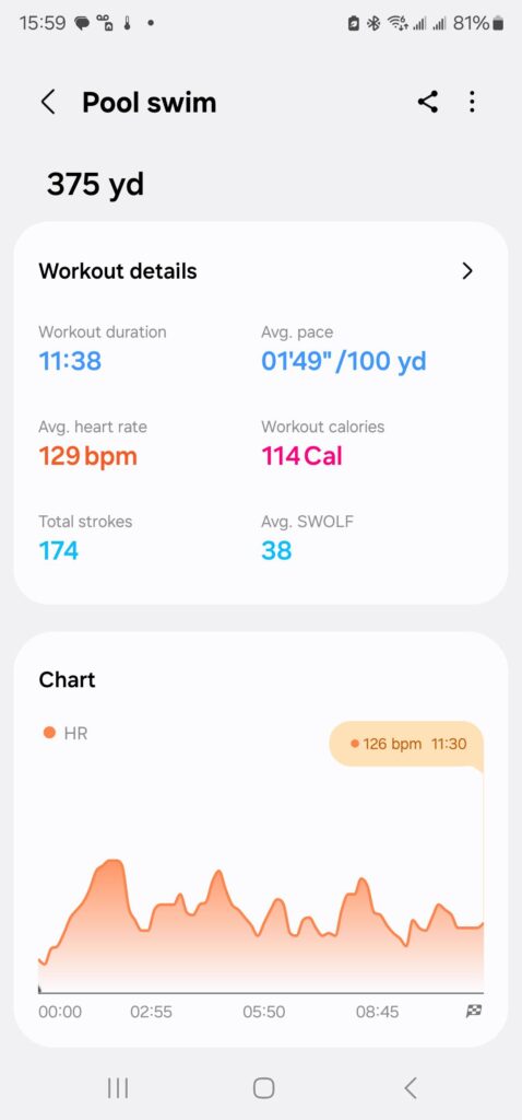
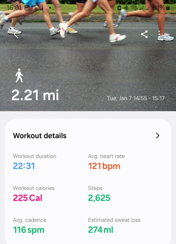
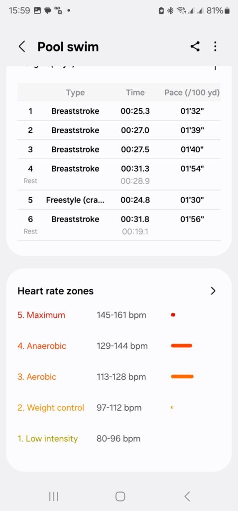
Well that sucked. First time back in pool for close to 3 years. That was embarrassing.
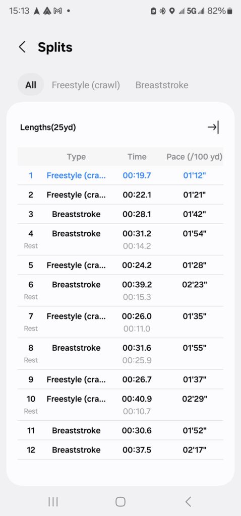
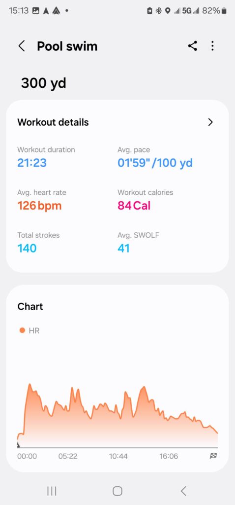
It looks like travel is in my near future. I am never good about working out while traveling, most often I am exhausted. So, this may be it for a few days.
Map of the route “And another one complete”: 3.25 mi, 305 ft of climbing and 262 ft of descent, elevation between 5,423 ft and 5,535 ft, time 00:49:55. It is a loop that starts and ends at 39.69075, -104.77533 (latitude, longitude).
And it is now the 4th. Doing good here.
Map of the route “Hello from Aurora, CO”: 2.25 mi, 246 ft of climbing and 236 ft of descent, elevation between 5,456 ft and 5,518 ft, time 00:38:01. It is a loop that starts and ends at 39.69068, -104.77424 (latitude, longitude).