I really wanted to see where the Power Line Trail ended up, so we did a new portion of trail and park. Started and stopped at the house.
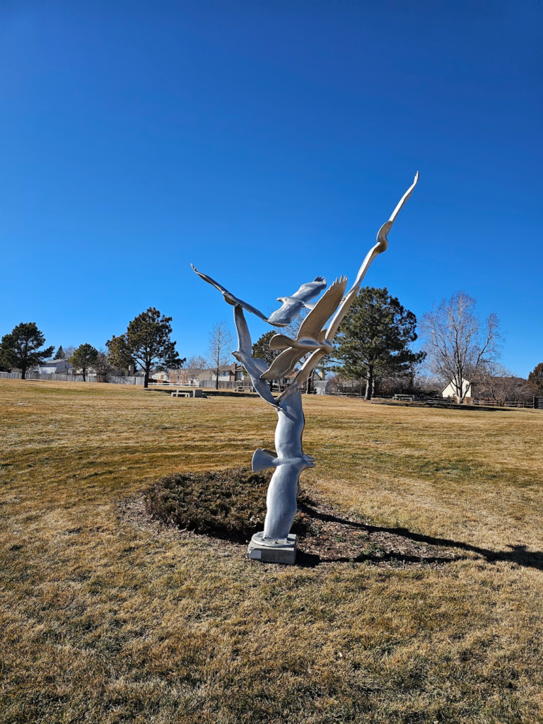
A neat sculpture in Saddlecreek park.
Map of the route “New Route Today”: 4.71 mi, 531 ft of climbing and 482 ft of descent, elevation between 5,705 ft and 5,837 ft, time 01:14:56. It is a loop that starts and ends at 39.69069, -104.77471 (latitude, longitude).
Total distance: 4.72 mi
Max elevation: 5837 ft
Min elevation: 5704 ft
Total climbing: 531 ft
Total descent: 484 ft
Average speed: 3.89 mi/h
Average cadence:
Average heart rate: 115
Average temperature:
Total time: 01:15:05
Max elevation: 5837 ft
Min elevation: 5704 ft
Total climbing: 531 ft
Total descent: 484 ft
Average speed: 3.89 mi/h
Average cadence:
Average heart rate: 115
Average temperature:
Total time: 01:15:05
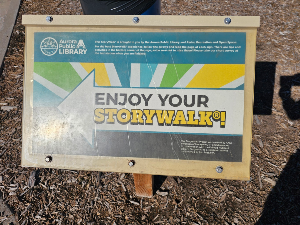
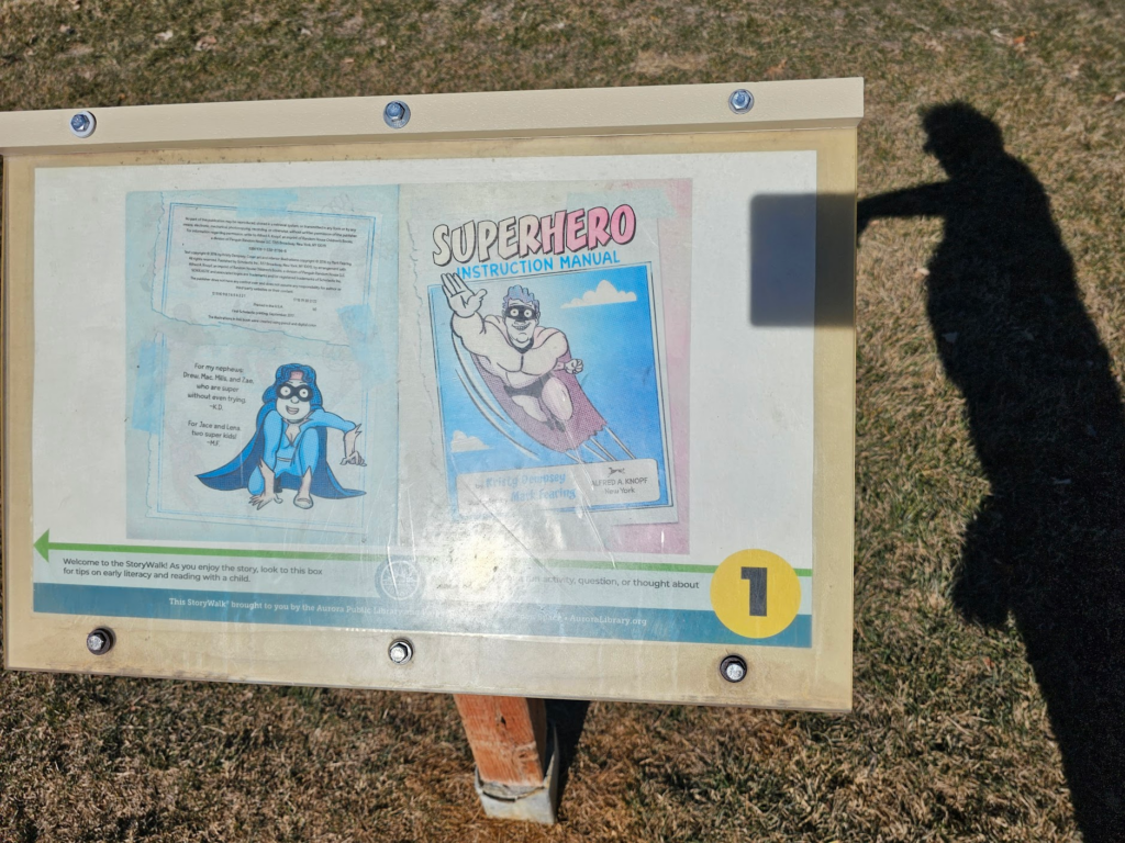
For the kids, Saddle Creek Park has a story walk.
Have to explore some more of it tomorrow.
👍️
0
❤️
0
😂
0
😮
0
😢
0
😡
0