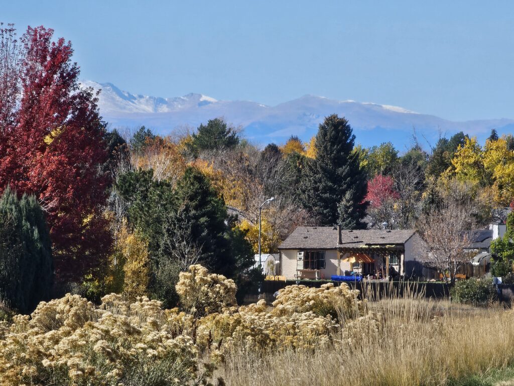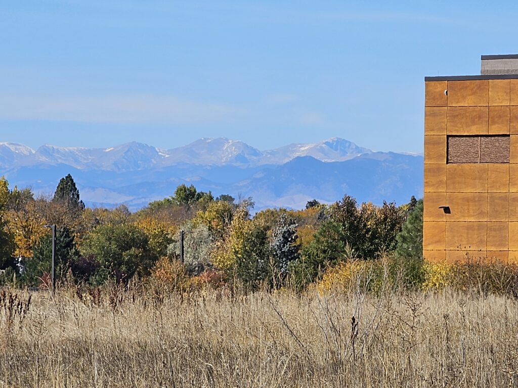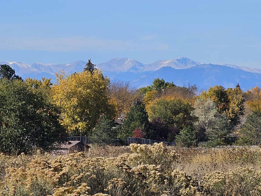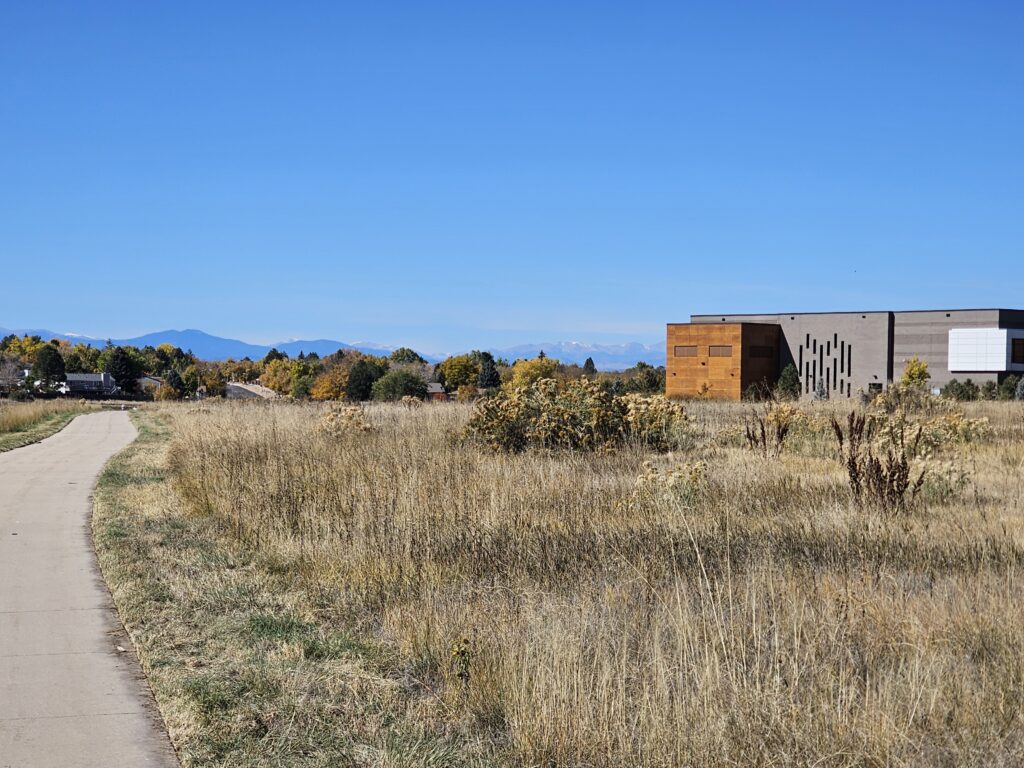
This morning’s walk started at the Central Recreation Center and then up the Toll Gate trail to Horseshoe Park (yesterday’s area of interest) and then back down the Toll Gate Trail past the rec center and towards Quincy Reservoir. I still have a nagging little gap on the Toll Gate trail I will fill in on a day without much time (City Hall to Mississippi Avenue). Would really like to join those two sections, but parking is a pain in that area.
Map of the route “October 25, 2025 – What to do today?”: 4.94 mi, 266 ft of climbing and 256 ft of descent, elevation between 5,538 ft and 5,627 ft, time 01:13:09. It is a loop that starts and ends at 39.66858, -104.77686 (latitude, longitude).
Max elevation: 5627 ft
Min elevation: 5533 ft
Total climbing: 265 ft
Total descent: 255 ft
Average speed: 4.12 mi/h
Average cadence: 57
Average heart rate: 131
Average temperature:
Total time: 01:13:33
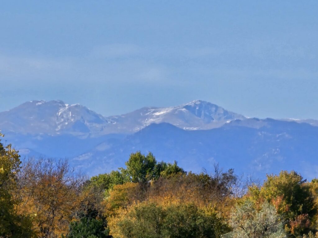
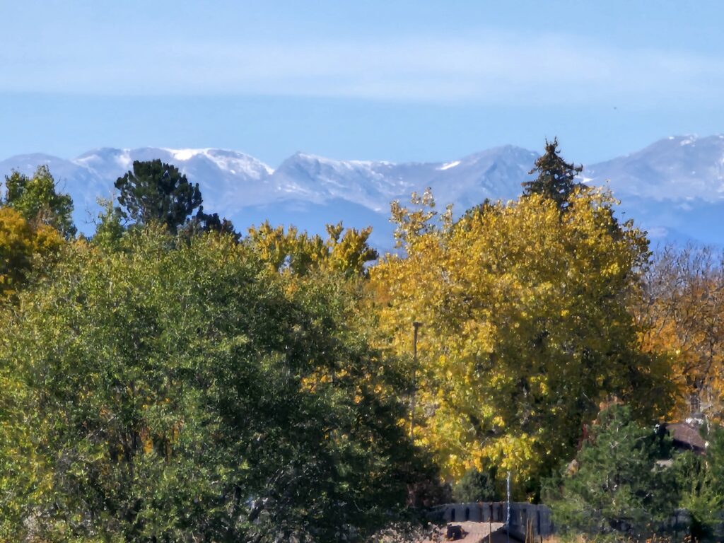
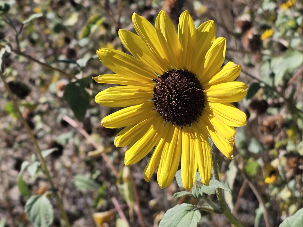
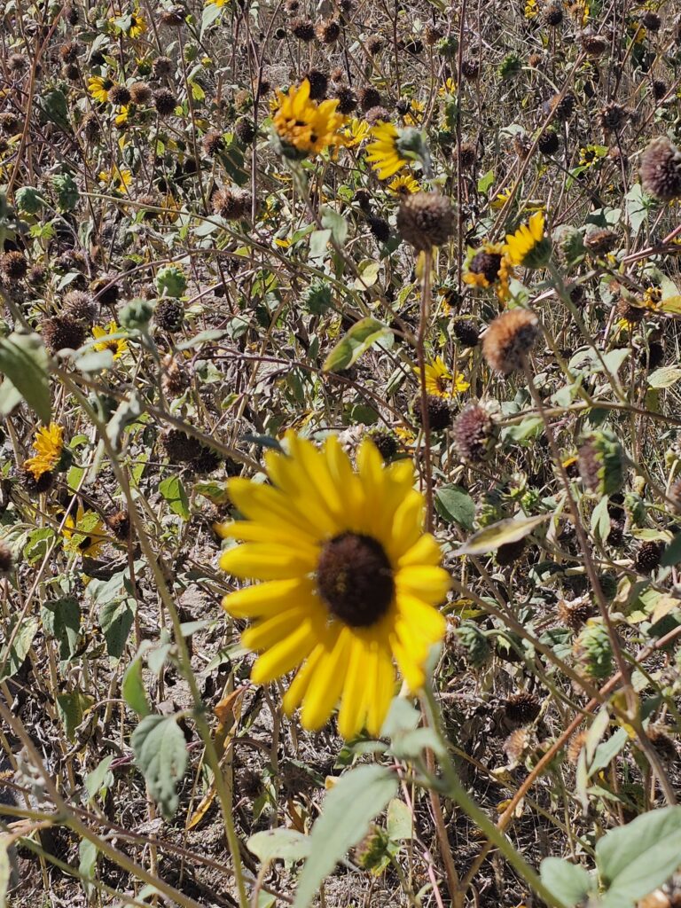
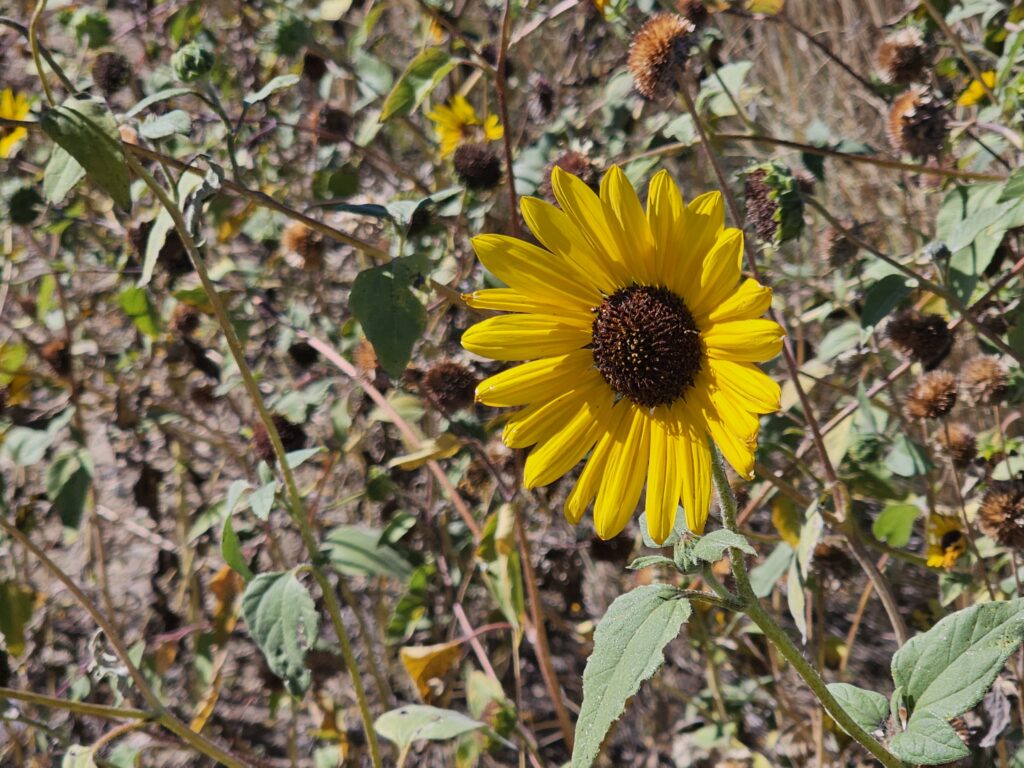
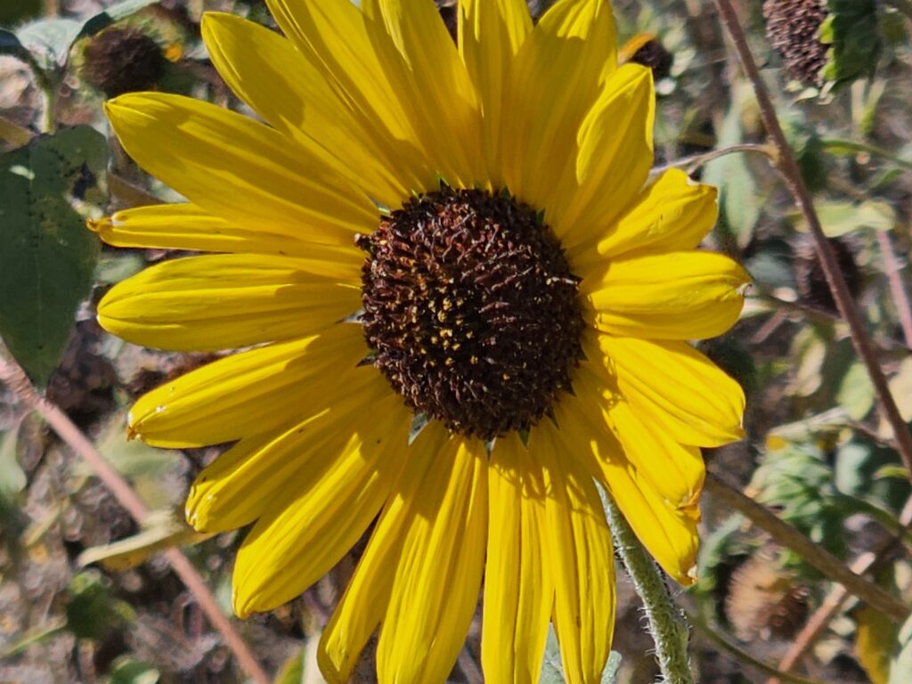
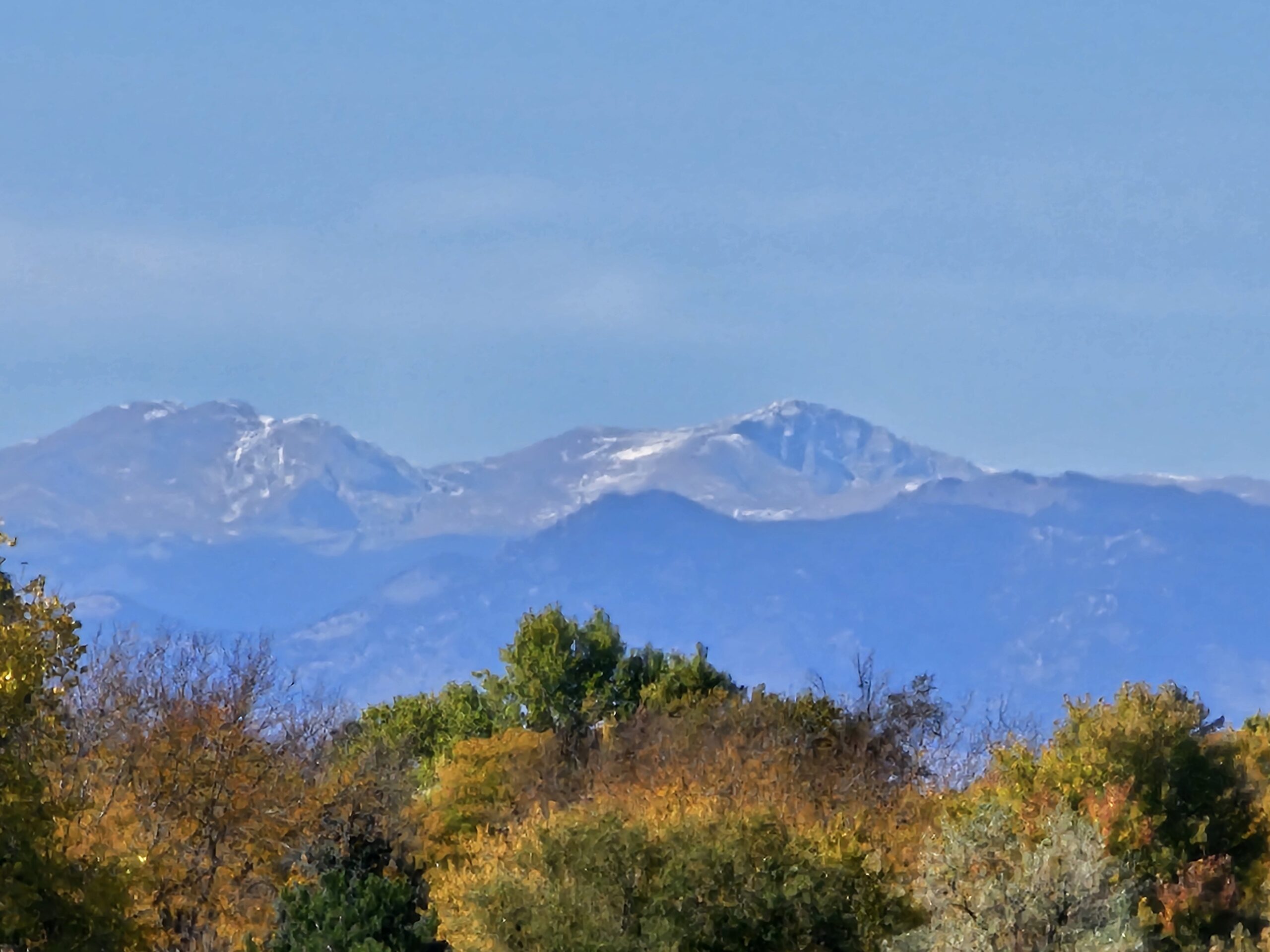
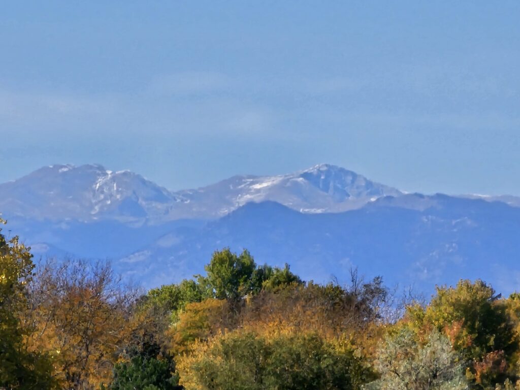
Took some neat photographs on my walk. Take a look at the gallery below.