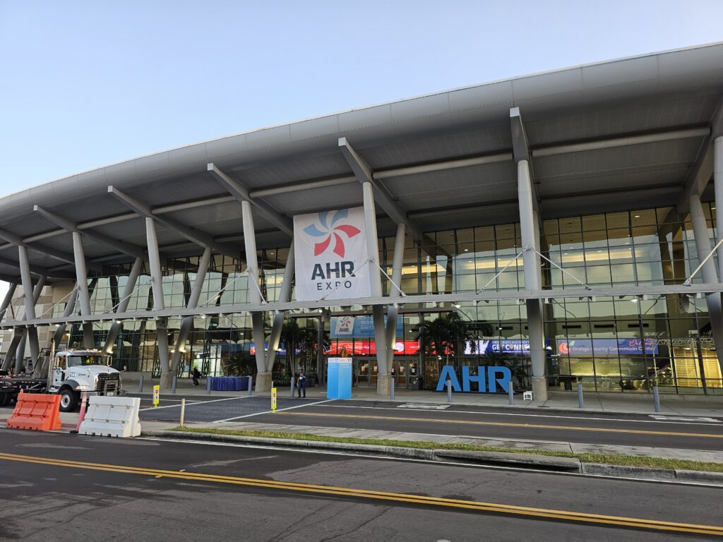
And today starts the AHR expo 2025 in Orlando, FL.

Lots and lots of exhibits.
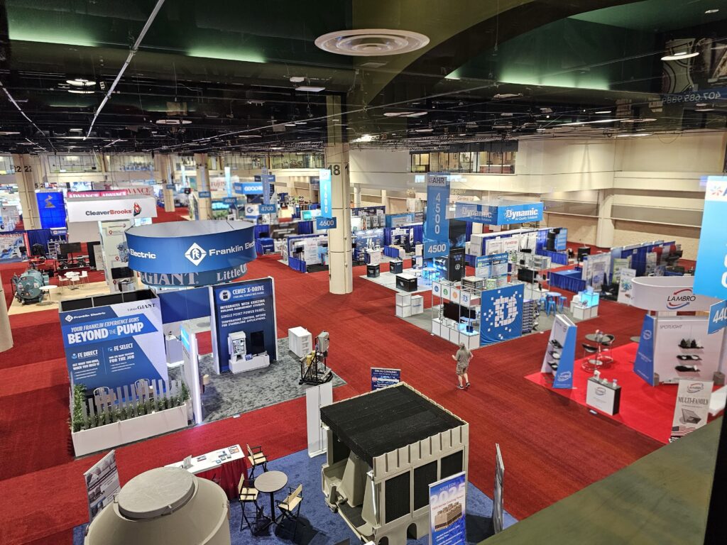
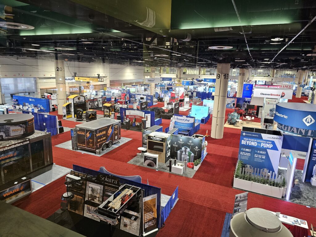

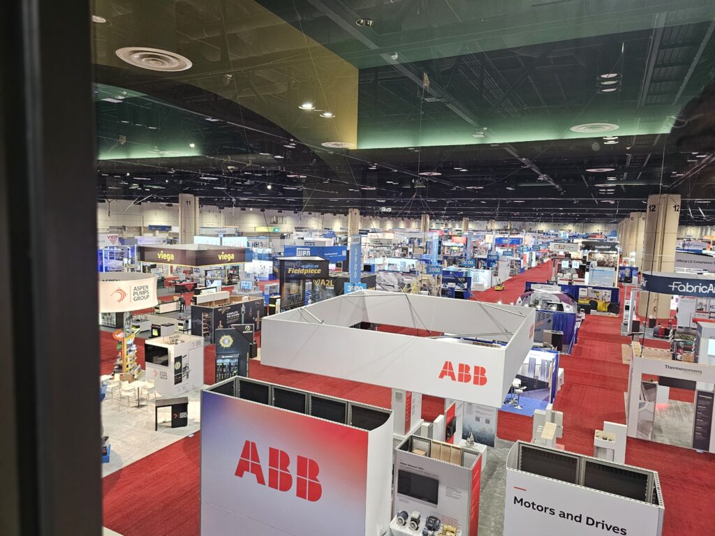
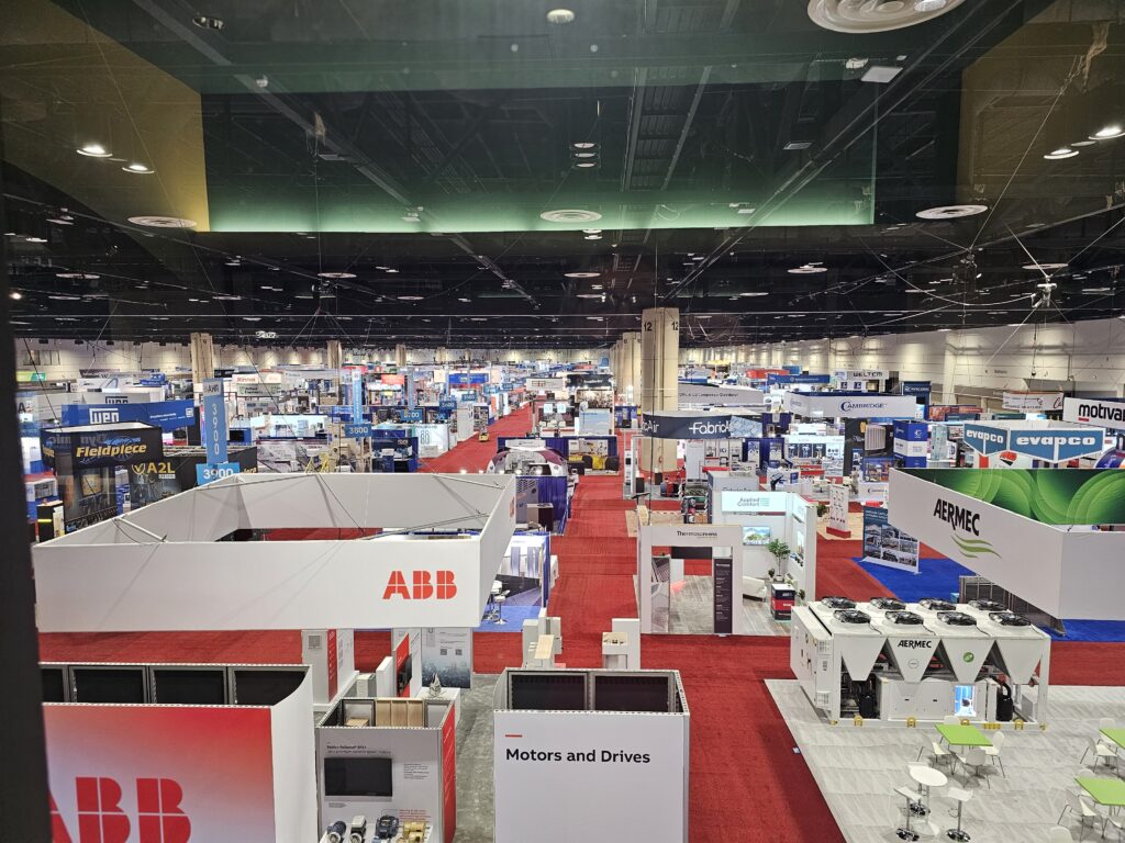
Sort of a big deal.


But dang, I just paid 6.92 for a cup of coffee.

👍️
0
❤️
0
😂
0
😮
0
😢
0
😡
0

And today starts the AHR expo 2025 in Orlando, FL.
Lots and lots of exhibits.
Sort of a big deal.
But dang, I just paid 6.92 for a cup of coffee.
Started off the day with an early morning and Jesse bringing me to the airport.
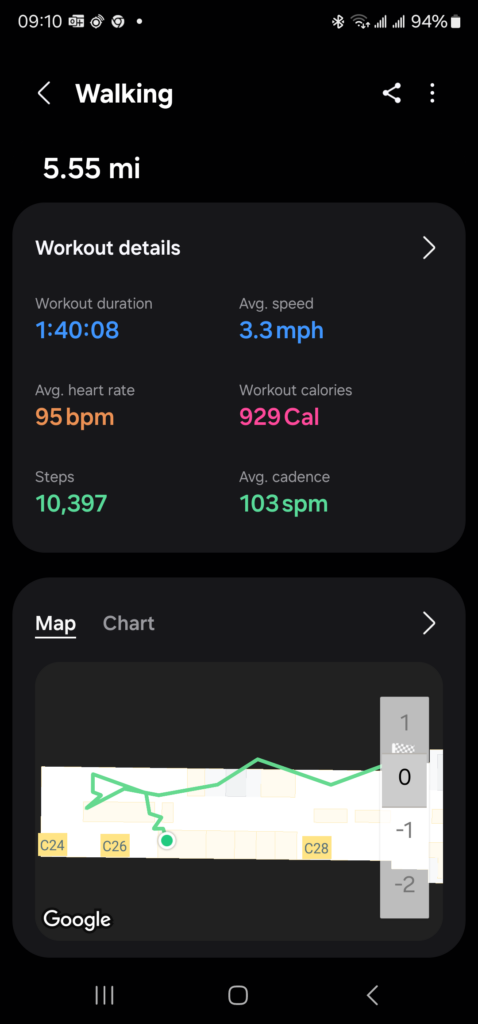
What else am I going to do with my 2.5 hours early? Of course, get me steps in. Walking each terminal is a little over 5.5 miles.
Time to check out more of the Aurora, CO trails. A little over 3 miles this morning.
Map of the route “Good Morning!”: 3.79 mi, 479 ft of climbing and 433 ft of descent, elevation between 5,486 ft and 5,584 ft, time 01:01:13. It is a loop that starts and ends at 39.69073, -104.77445 (latitude, longitude).
Temp was a “pleasant” 37 degrees. Hope if warms up more today.
After doing some work around the house I decided to head out and get my steps/miles in for the day. I also listen to my podcasts during this time and try and figure out what’s wrong with the world. Sort of depressing but the walk helps. Came across some protesters outside the base entrance. Base security was not happy.
Map of the route “Had to get the walk in”: 3.79 mi, 479 ft of climbing and 433 ft of descent, elevation between 5,486 ft and 5,584 ft, time 01:01:13. It is a loop that starts and ends at 39.69073, -104.77445 (latitude, longitude).
Ended up on more sidewalk than trail today. But, that is OK I really did want to see the neighborhood more.
Good Morning everyone!
Res and I had a nice morning walk today. Perfect temperatures and he got to sniff around and sniff around, and sniff around…. you get the picture. There was a little snow on the ground, just a dusting, but it was gone by later in the morning.
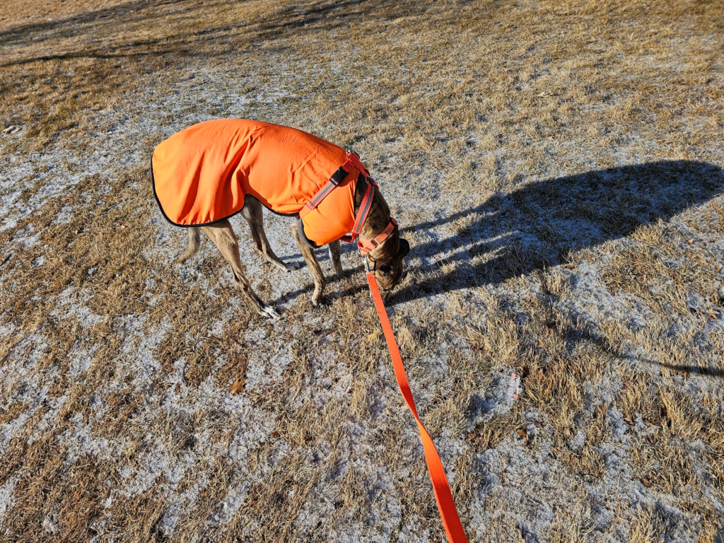
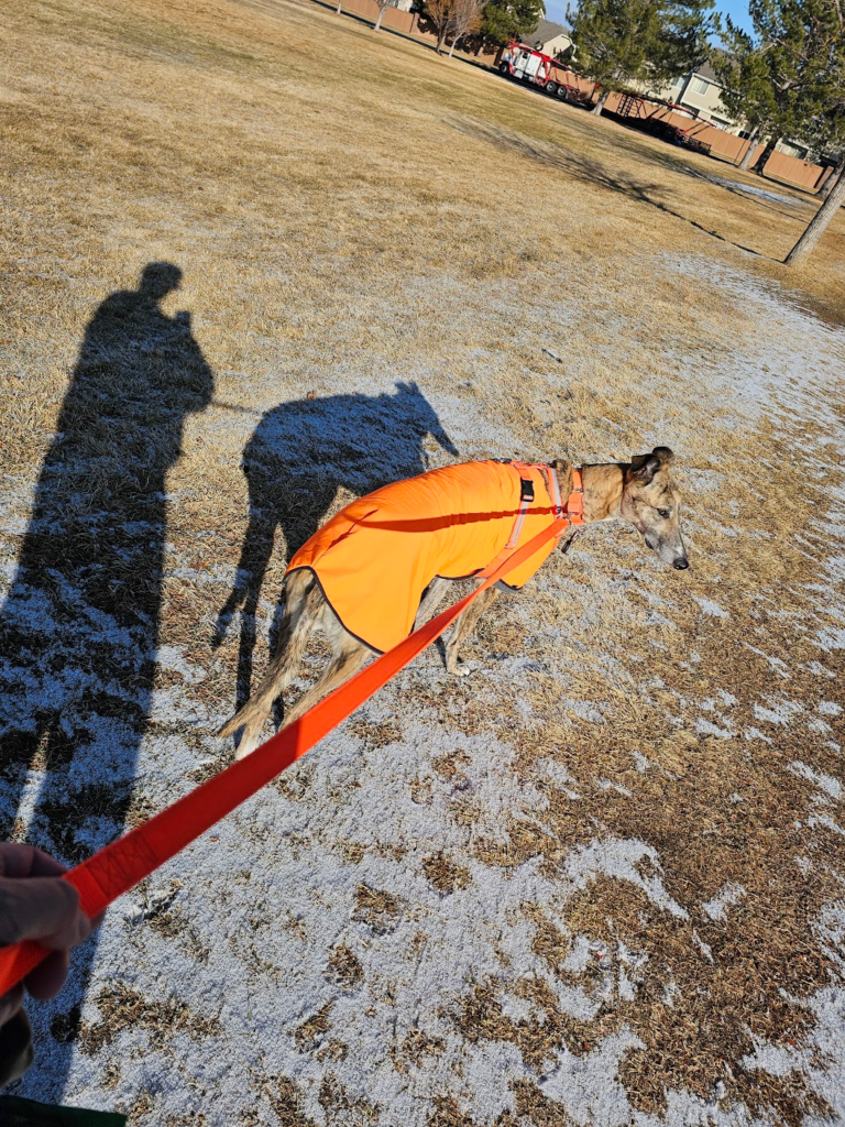
Map of the route “Res’s Morning Walk!”: 1.36 mi, 226 ft of climbing and 220 ft of descent, elevation between 5,423 ft and 5,482 ft, time 00:36:53. It is a loop that starts and ends at 39.69051, -104.77413 (latitude, longitude).
I really wanted to see where the Power Line Trail ended up, so we did a new portion of trail and park. Started and stopped at the house.
A neat sculpture in Saddlecreek park.
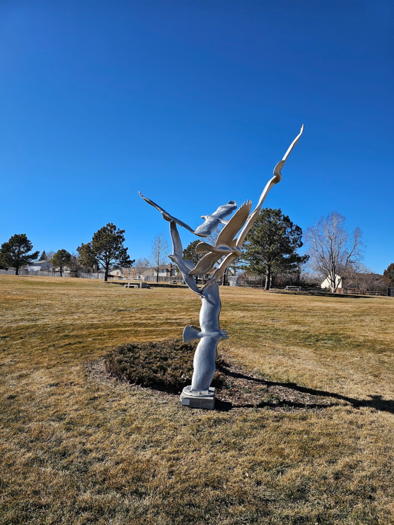
Map of the route “New Route Today”: 4.71 mi, 531 ft of climbing and 482 ft of descent, elevation between 5,705 ft and 5,837 ft, time 01:14:56. It is a loop that starts and ends at 39.69069, -104.77471 (latitude, longitude).
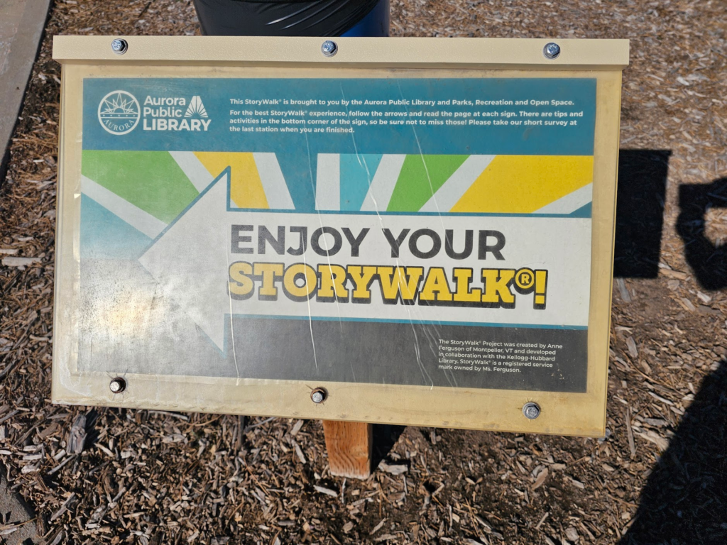
For the kids, Saddle Creek Park has a story walk.
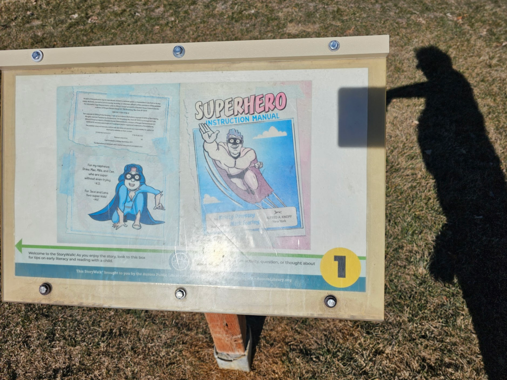
Have to explore some more of it tomorrow.
Decided to try another 4.5 miles of Aurora, CO trails today.
Map of the route “4.5 Miles of Bike Trail.”: 4.27 mi, 390 ft of climbing and 384 ft of descent, elevation between 5,469 ft and 5,591 ft, time 01:05:15. It is a loop that starts and ends at 39.69057, -104.77413 (latitude, longitude).
Decided to start at the Central Recreation Center and do the Tollgate Creek Trail.
Map of the route “Aurora, CO Central Rec / Tollgate Creek Trail”: 4.10 mi, 597 ft of climbing and 623 ft of descent, elevation between 5,741 ft and 5,843 ft, time 01:03:18. It is a loop that starts and ends at 39.66836, -104.77669 (latitude, longitude).
Nice walk overall.
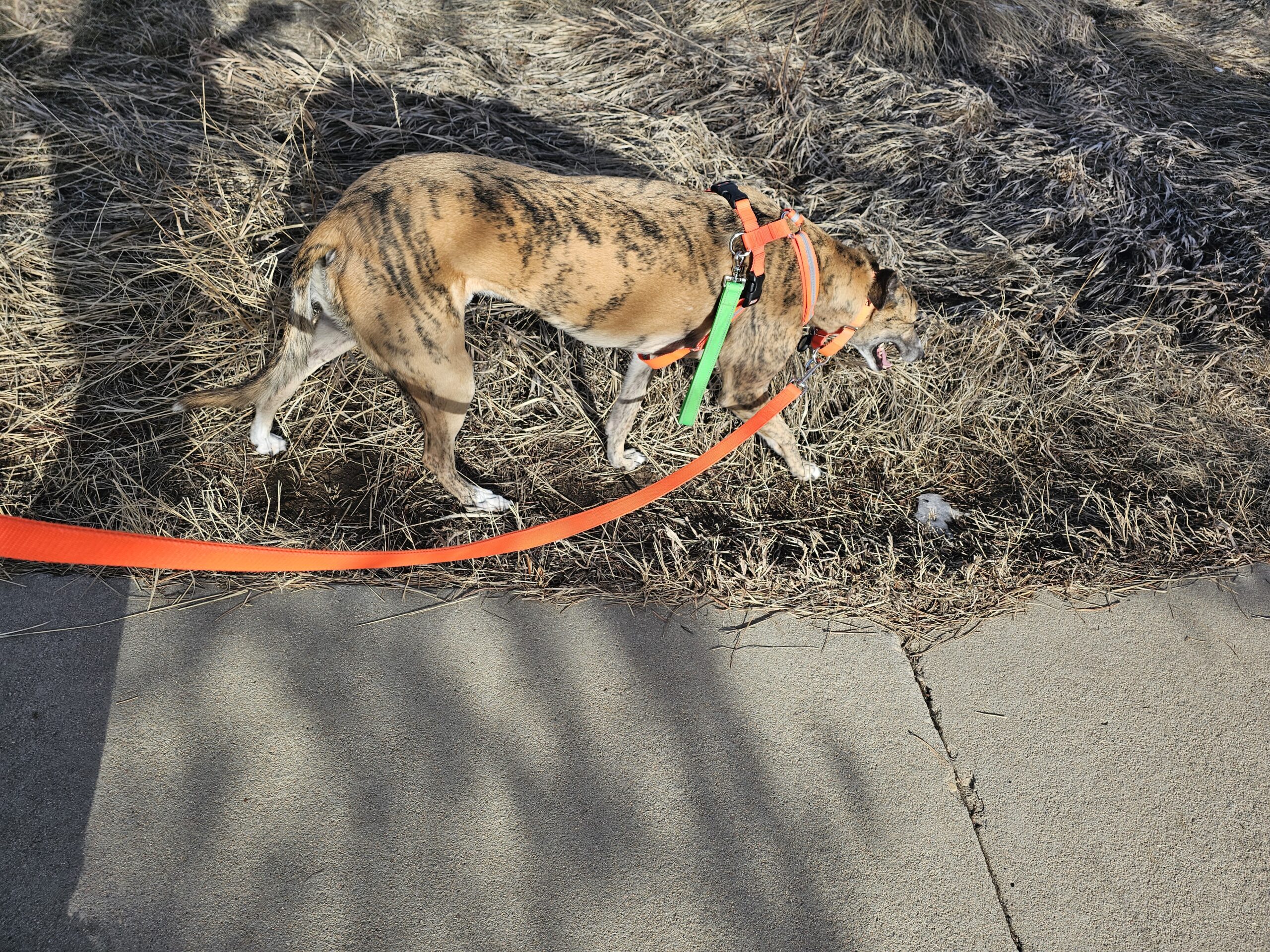
Good morning!
Nice coat less walk for Res this morning. Temp is already in the 50s.
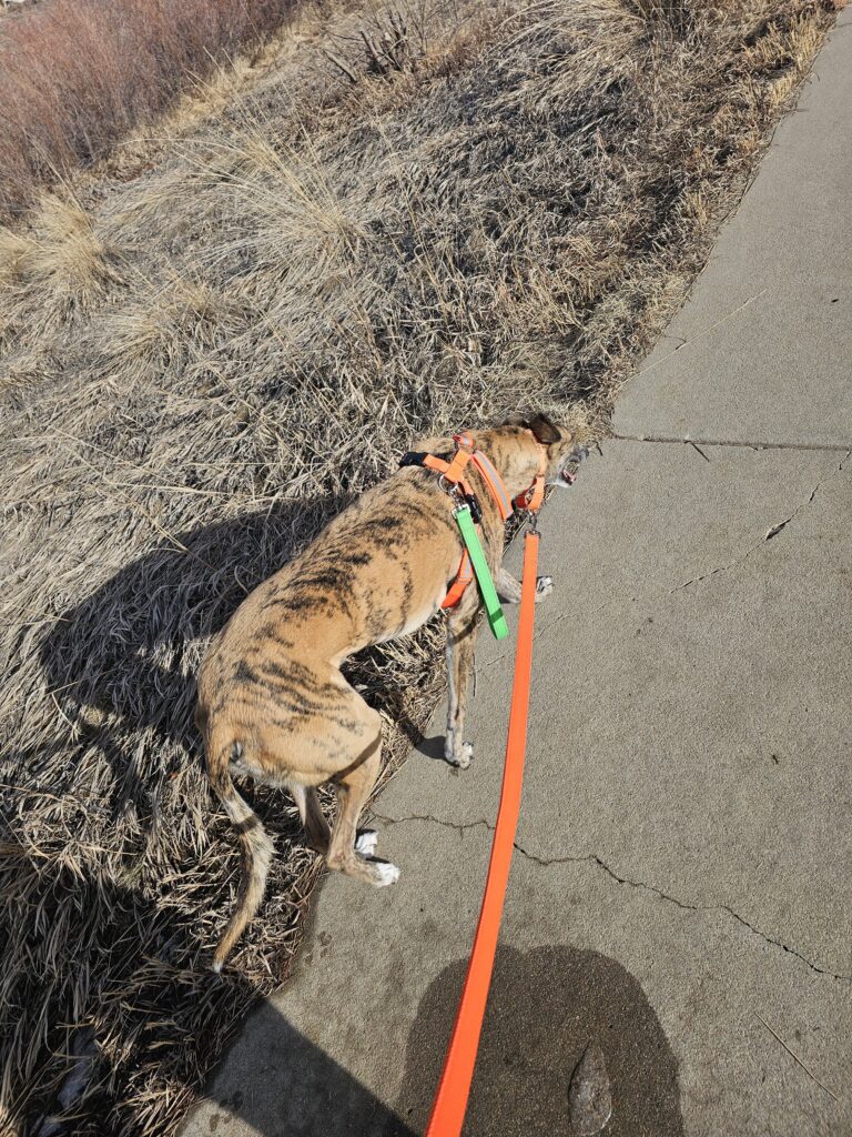
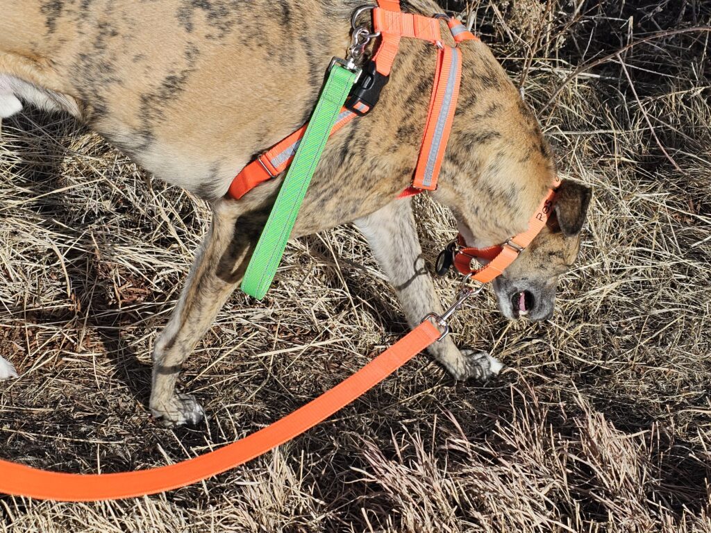
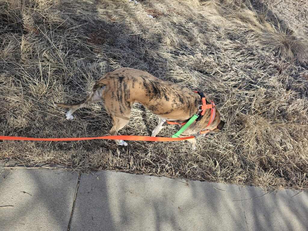
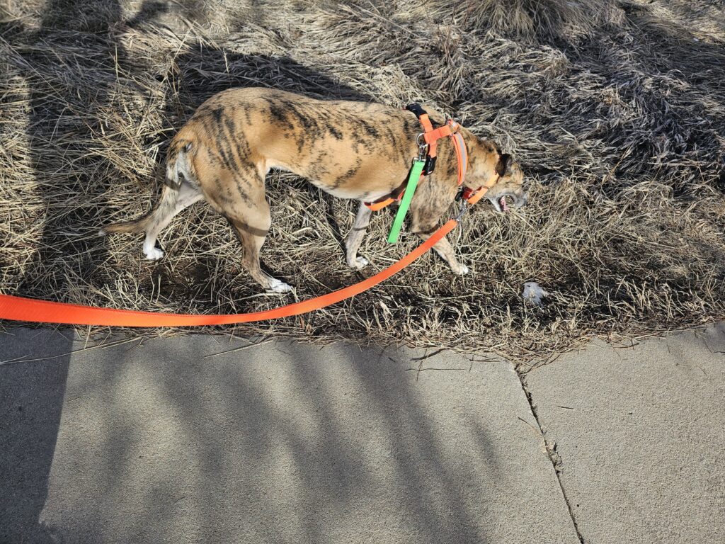
When I get home I have to pack and get myself ready for a trip to Northern snow country.
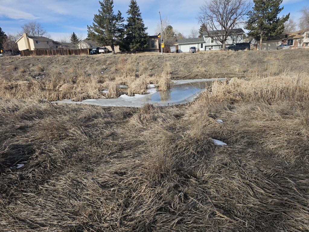
Here the ice and snow is already almost gone.
Have a great day! Res is going to nap.
This is the morning Res walk before I head off to the Airport. I did do an extra 6 miles or so in the airport but the GPS tracks are non-existent.
Map of the route “Good Morning! Res Walk”: 1.23 mi, 190 ft of climbing and 154 ft of descent, elevation between 5,627 ft and 5,696 ft, time 00:35:19. It is a loop that starts and ends at 39.69073, -104.77583 (latitude, longitude).