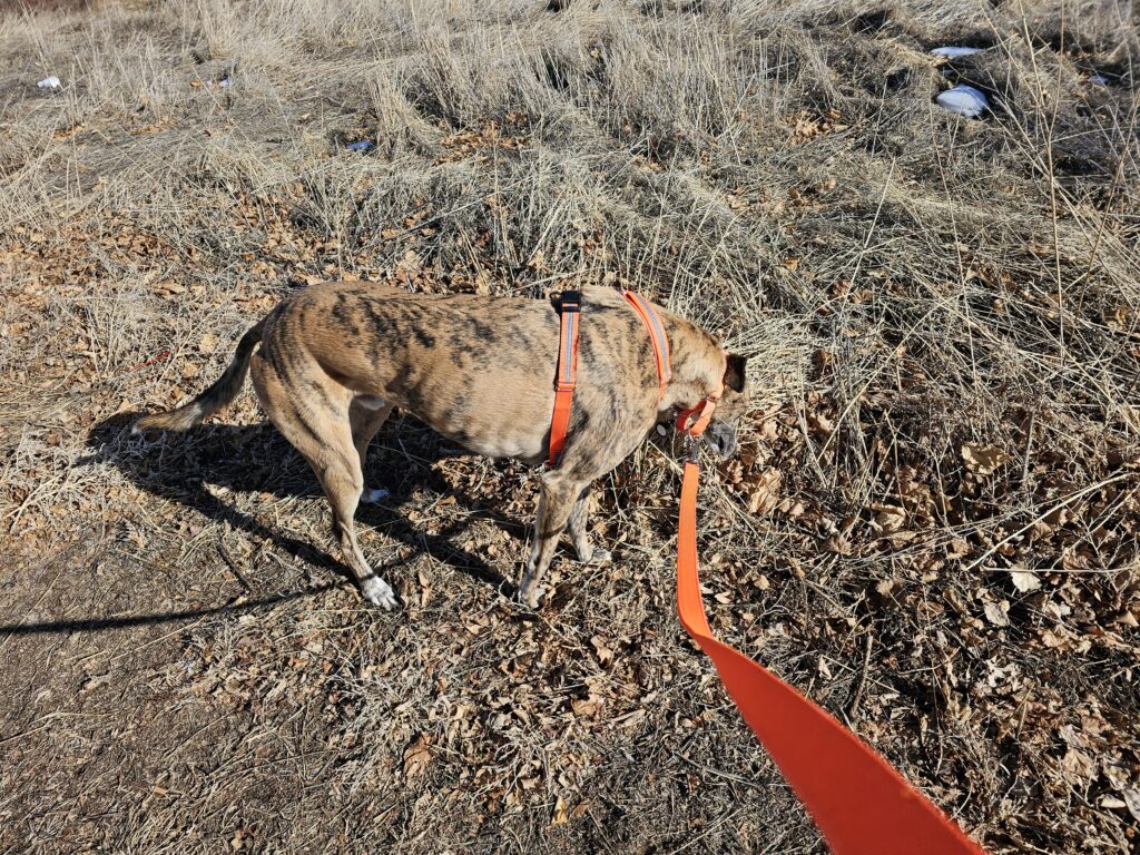
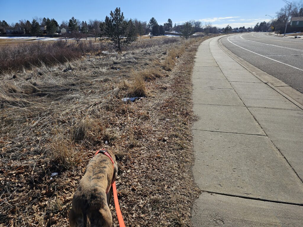
Sometimes a long walk is all you need. Exploring the Aurora trails
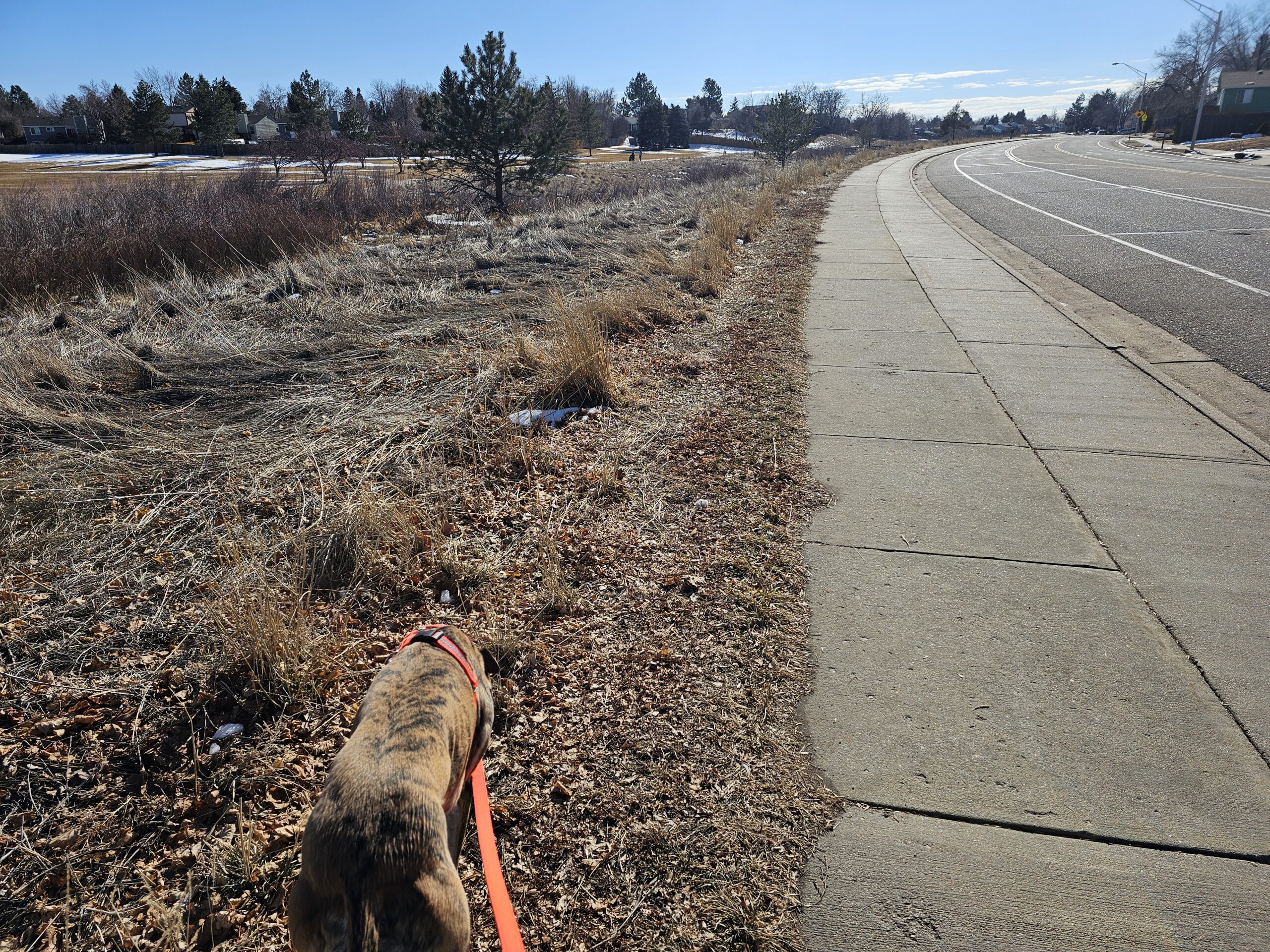
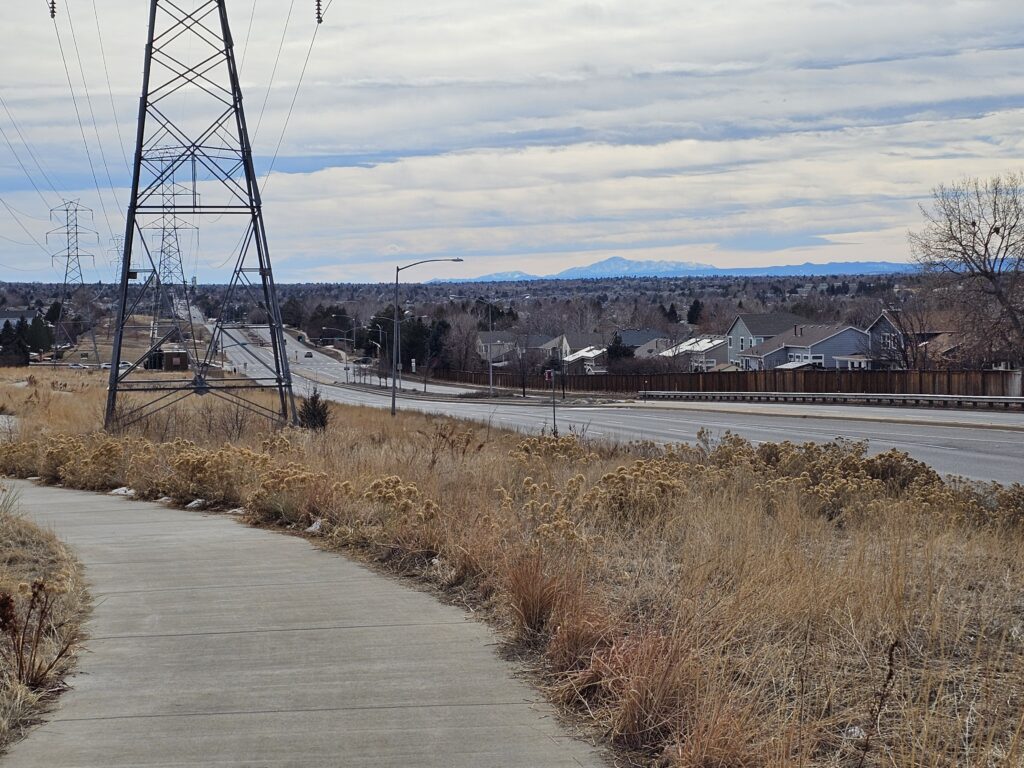
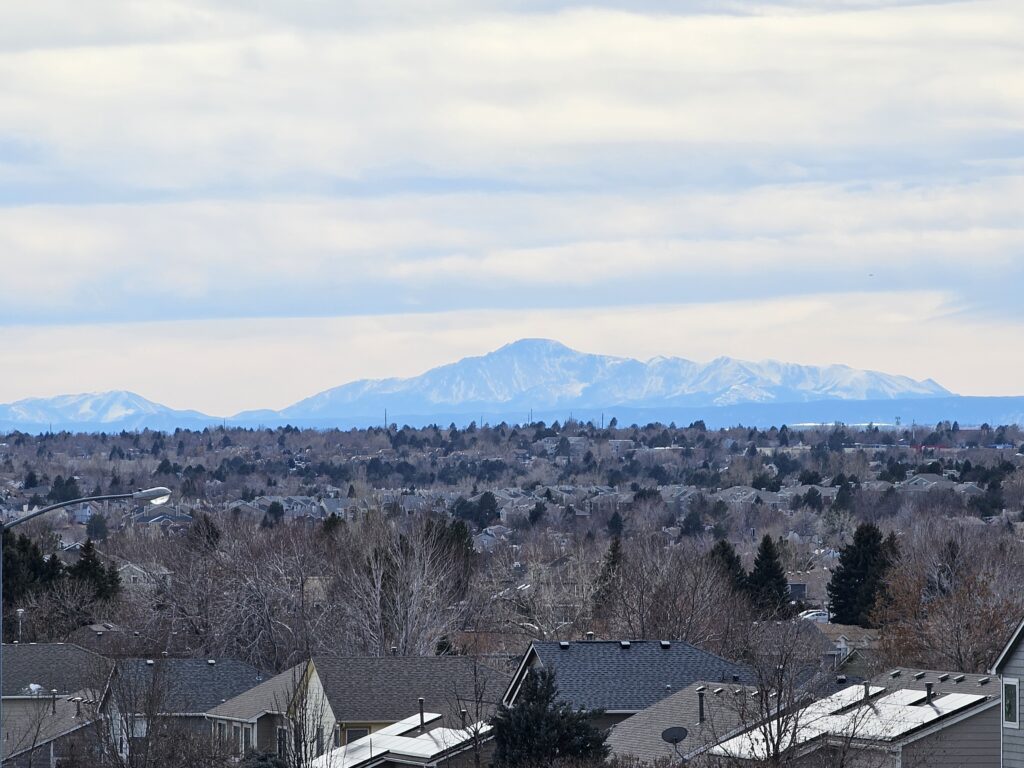
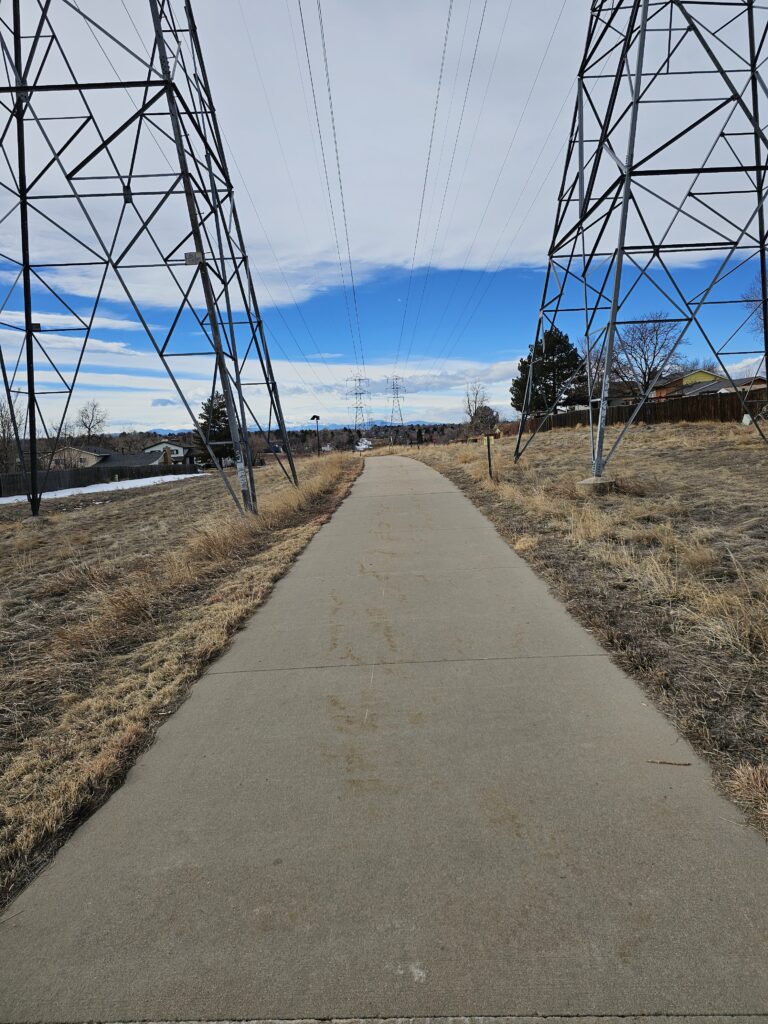
Unlike Florida things here have hills. The powerline trail is great.
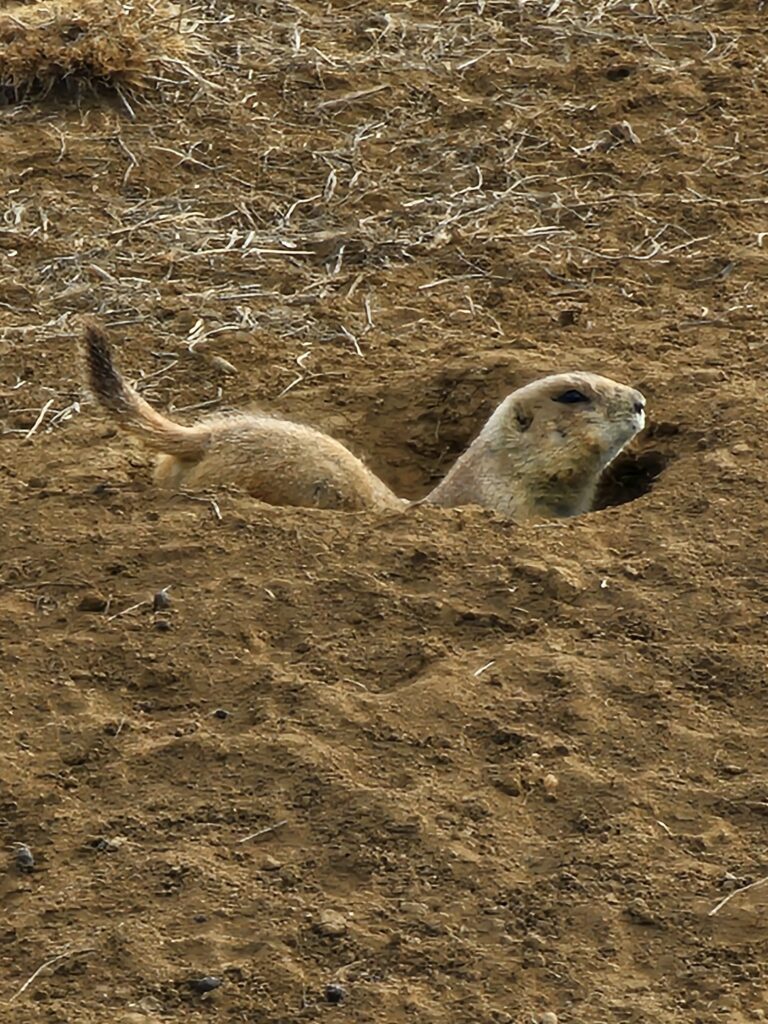
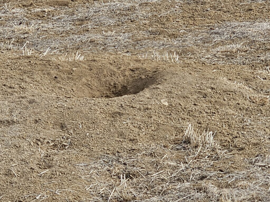
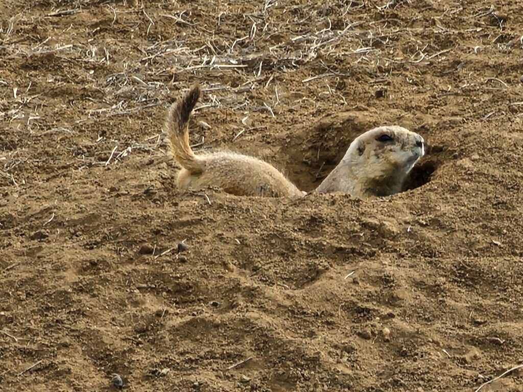
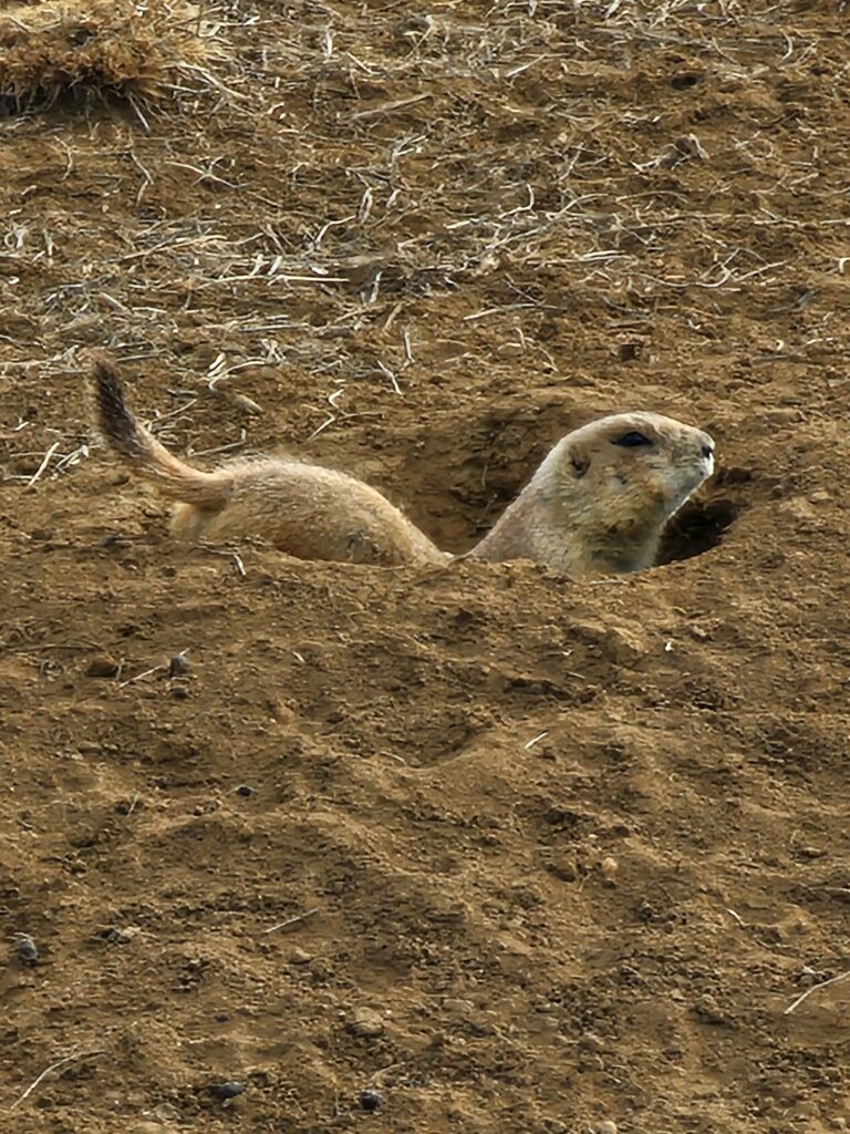
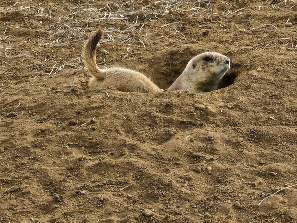
Saw the Prarie dogs
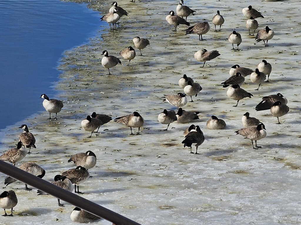
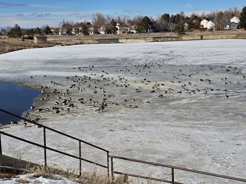
And ended the route with the geese
👍️
0
❤️
0
😂
0
😮
0
😢
0
😡
0
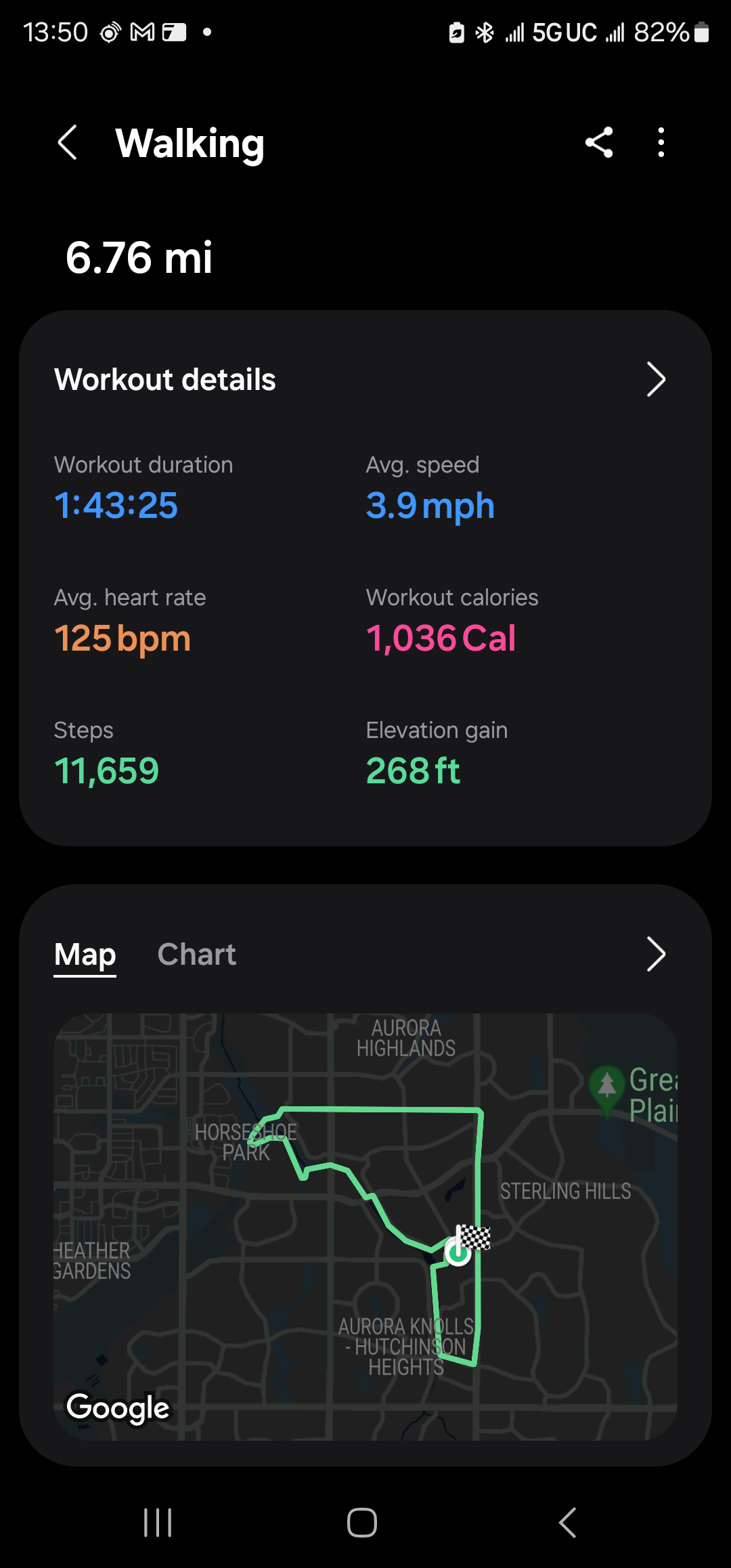
Sometimes a long walk is all you need. Exploring the Aurora trails
Unlike Florida things here have hills. The powerline trail is great.
Saw the Prarie dogs
And ended the route with the geese
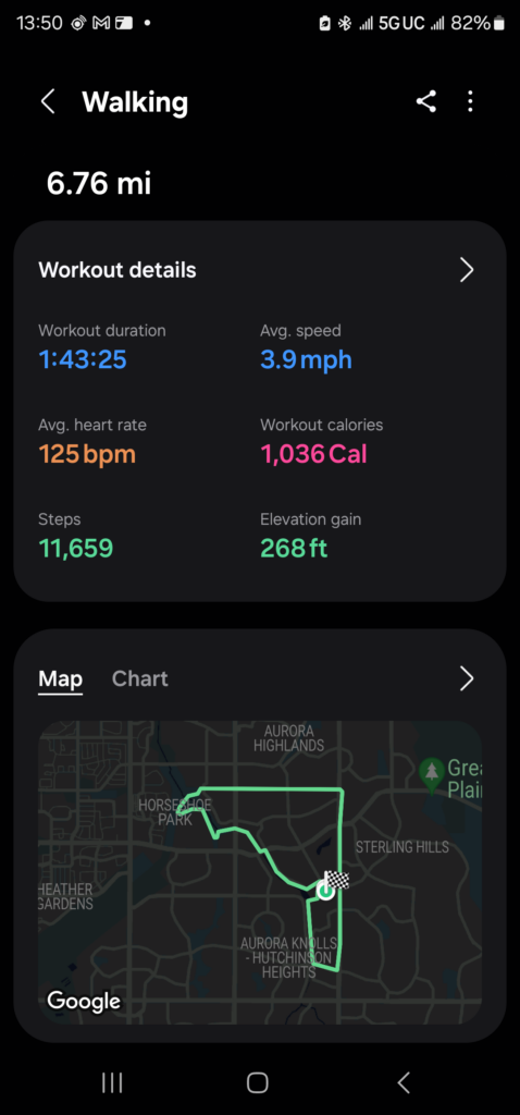
I am trying to explore the Aurora, CO trail network as a part of my fitness plan. I really need to loose about 20% of my weight, so the immediate goal is 10%, like 25 pounds. Not easy to do with my travel and all, but I think if I start watching my diet and continue my walking, I think I can safely do this.
Anyways, today’s walk started and ended out the house.
Map of the route “Some Aurora, CO Trail Exploration today”: 1.08 mi, 118 ft of climbing and 128 ft of descent, elevation between 5,568 ft and 5,627 ft, time 00:28:04. It is a loop that starts and ends at 39.69070, -104.77432 (latitude, longitude).
Not bad.
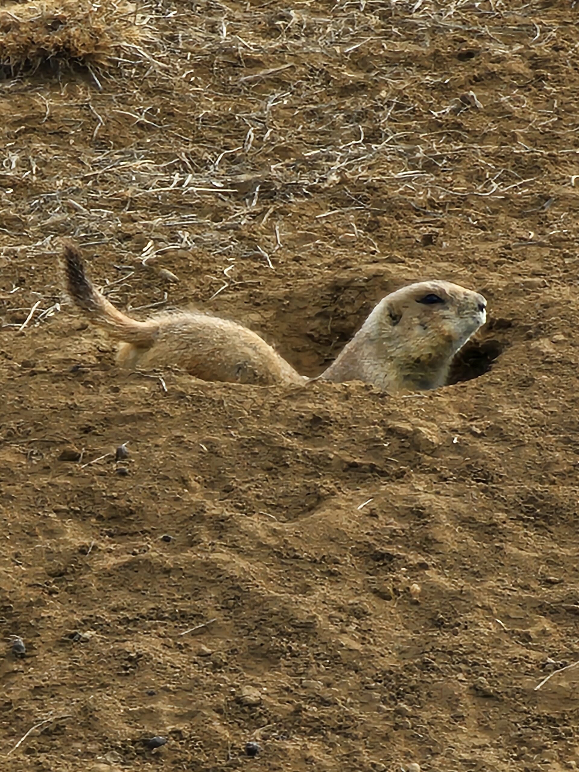
Saw these along the Powerline Trail this morning. They all ran and hid in their holes except for one curious one.

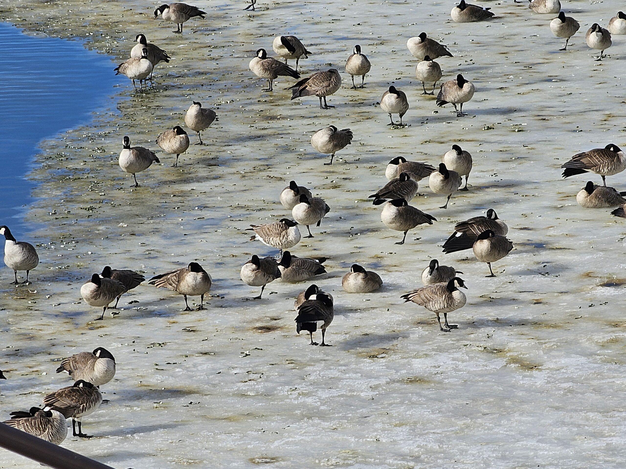
Mr. Trump, I would like to report a Canadian product that made it across the border without paying a Tariff!
I think you should personally come round them up, using humane, and non-degrading methods and deport them all!
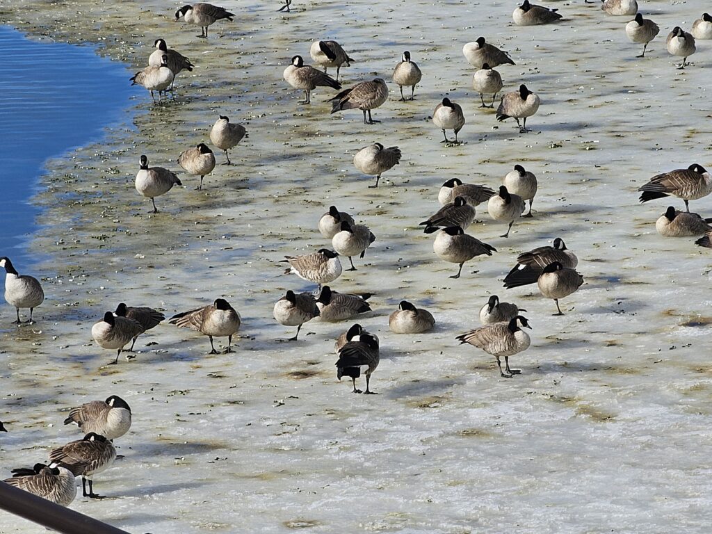
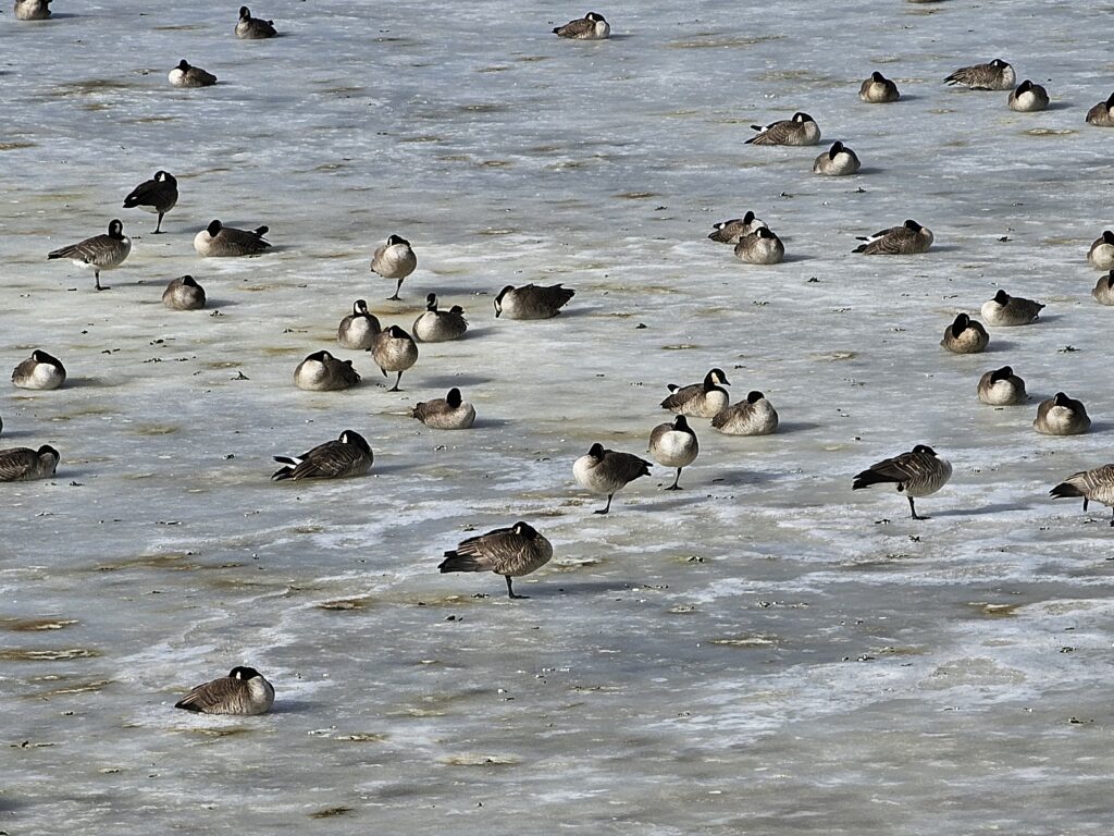
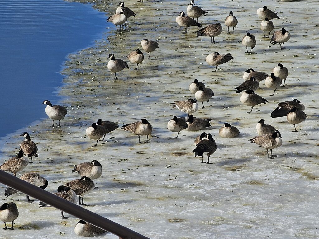
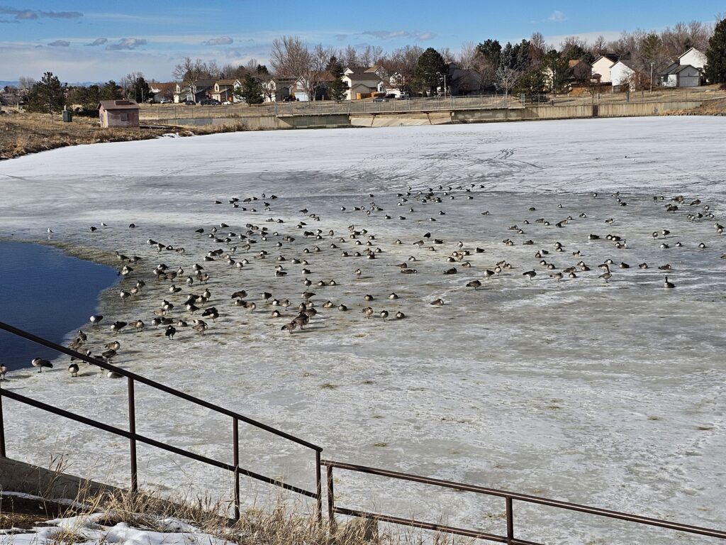
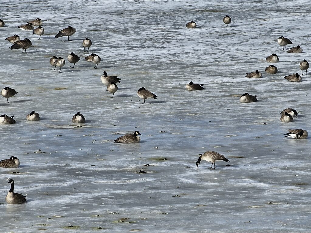
They crap all over the bike path!
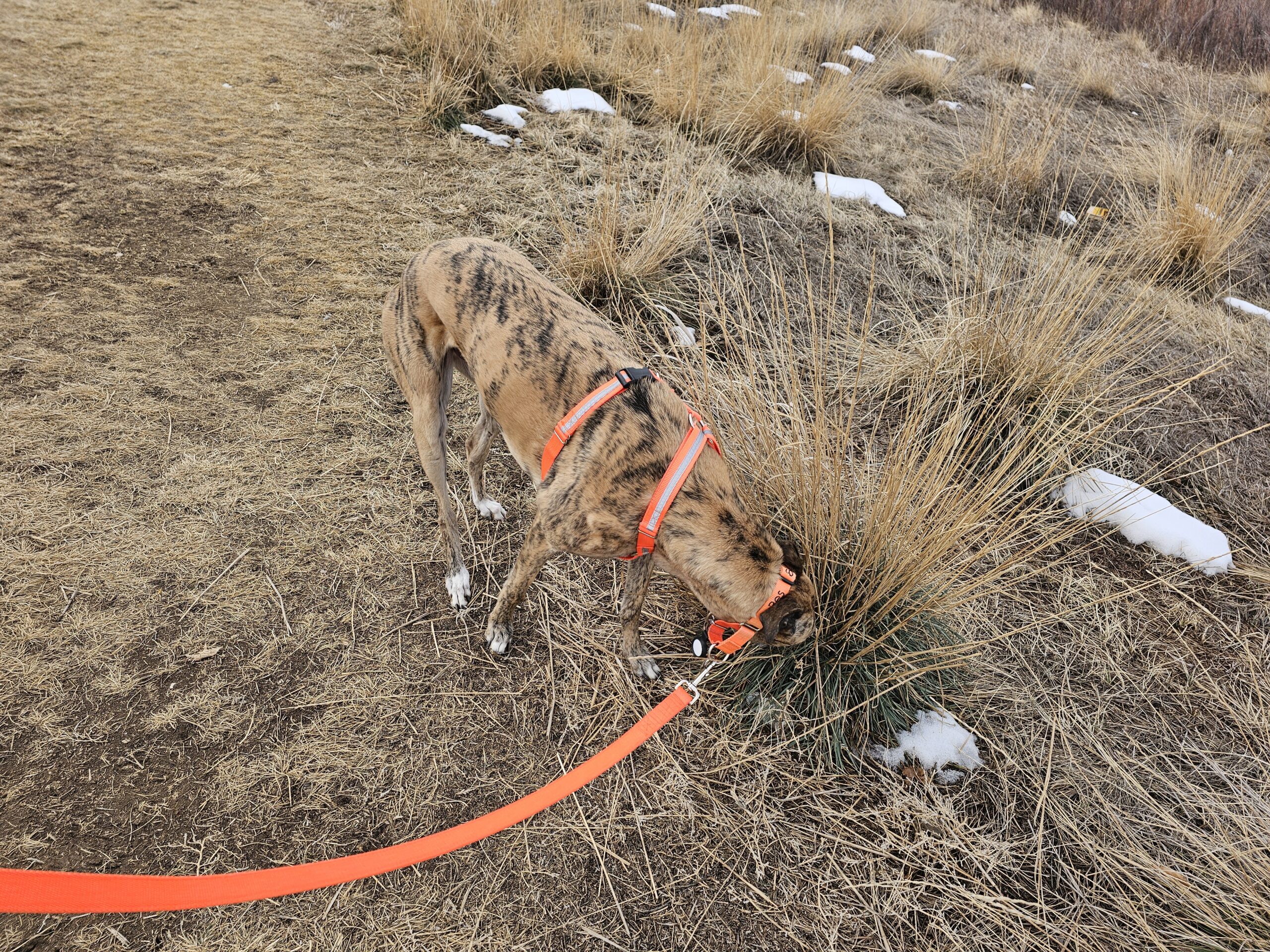
But Dad! There might be a wabbit in there! (Along with the other 150 clumps of grass i stopped at)
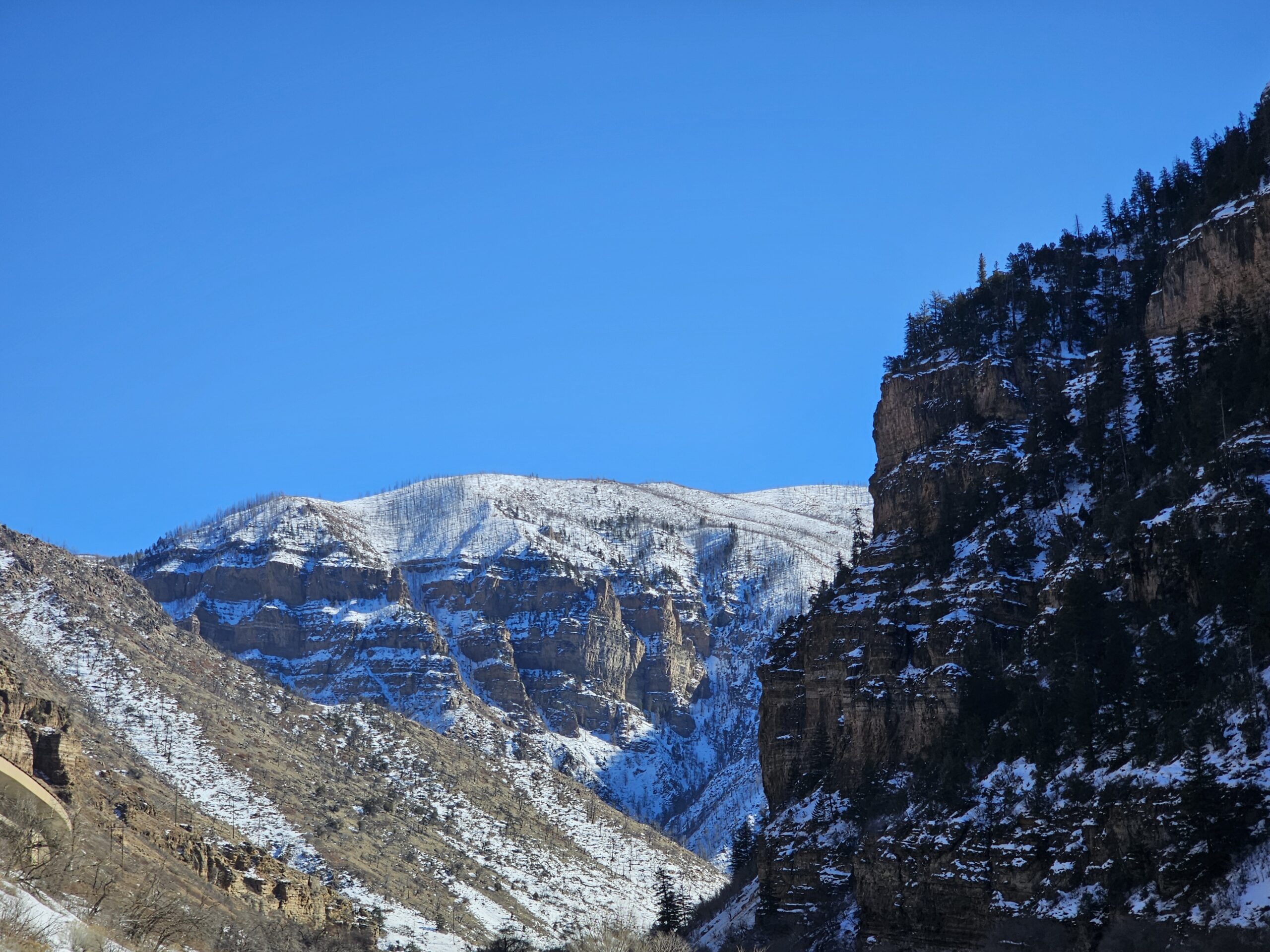
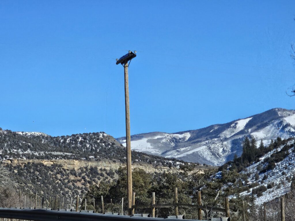
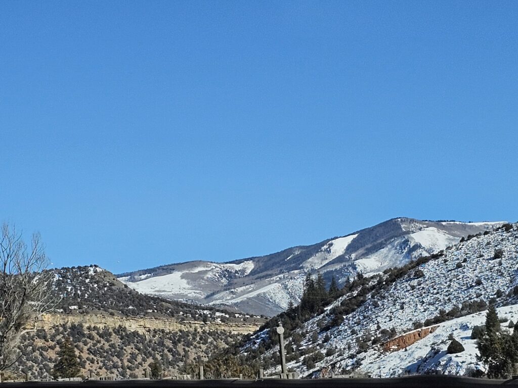
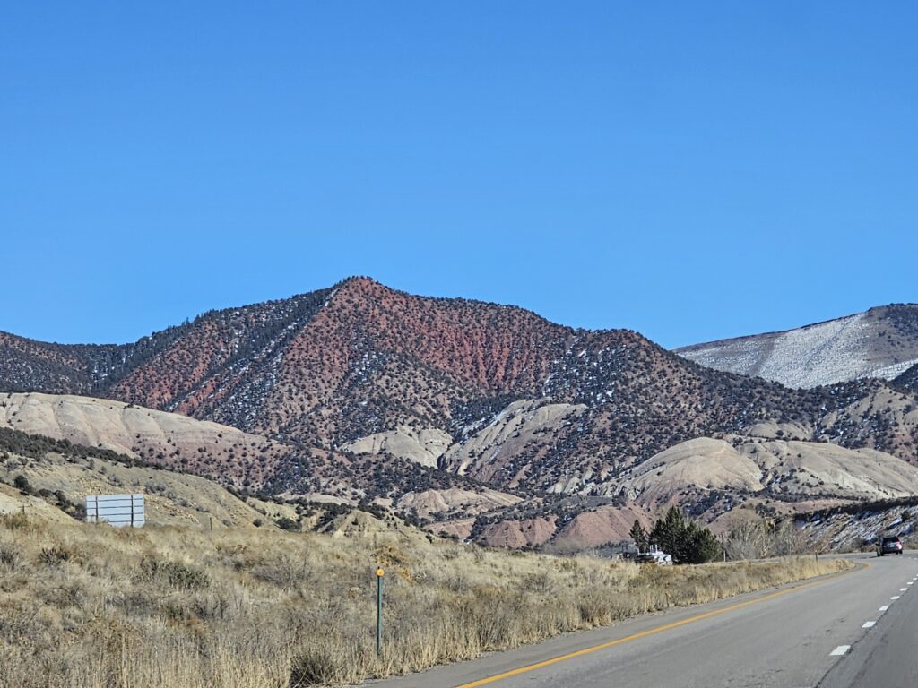
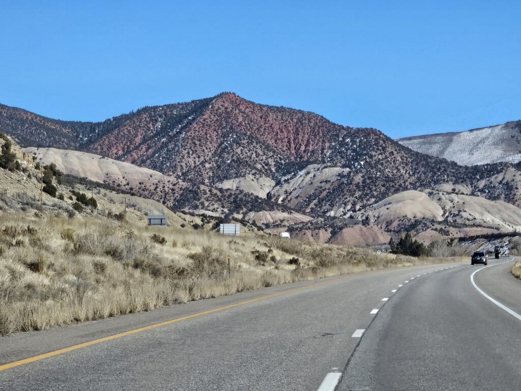
Today’s travels took me through the I-70 tunnels and canyons.
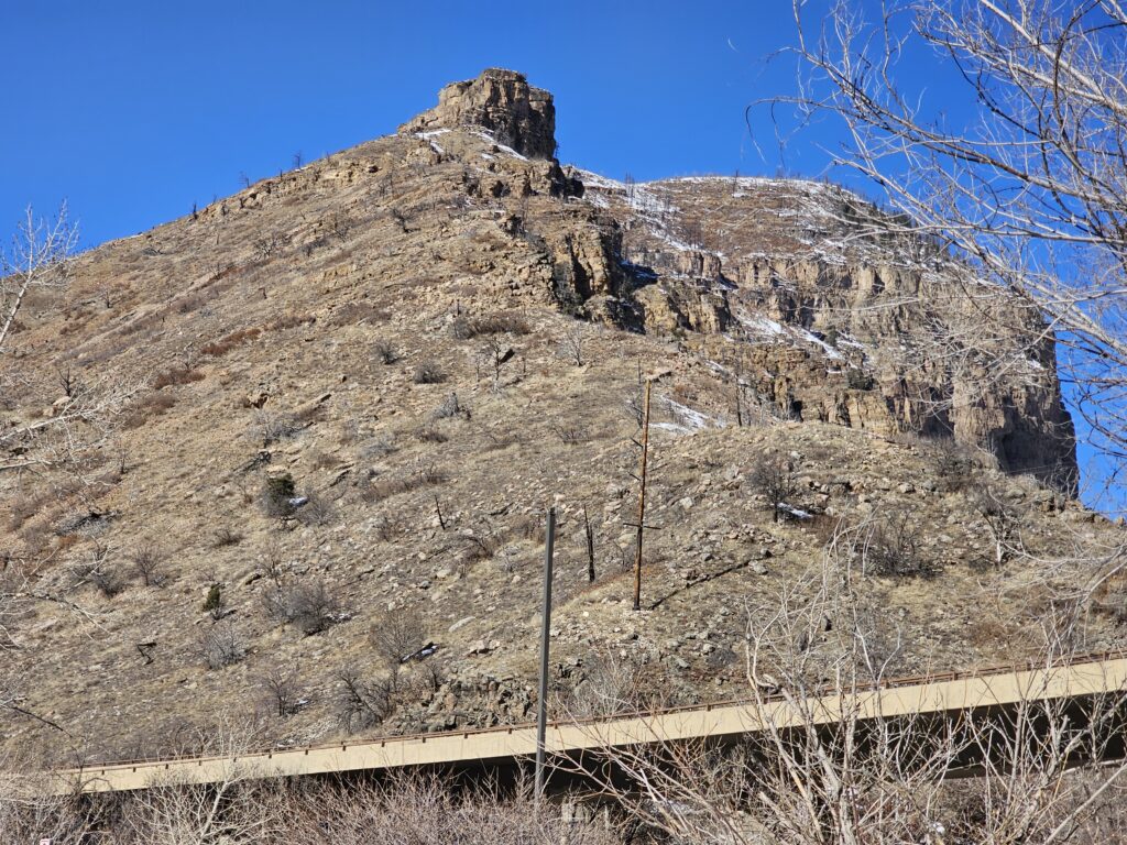
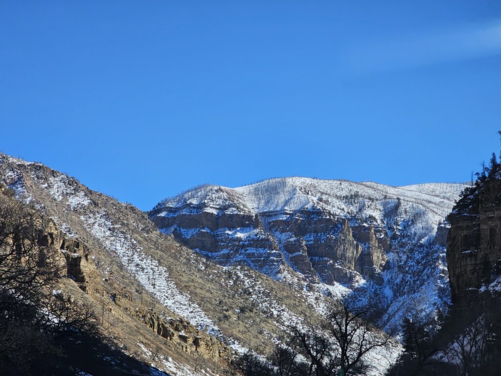
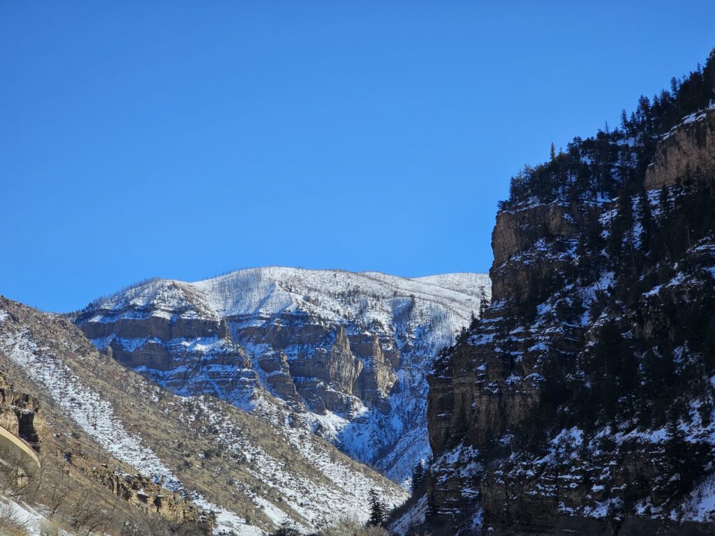
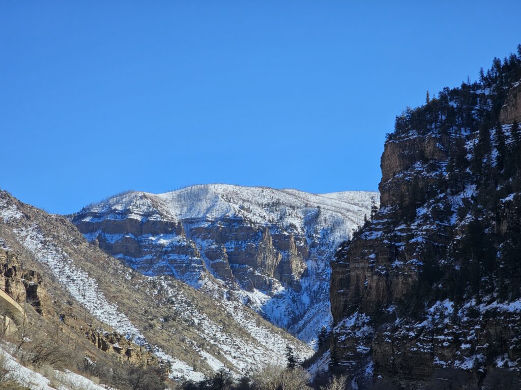
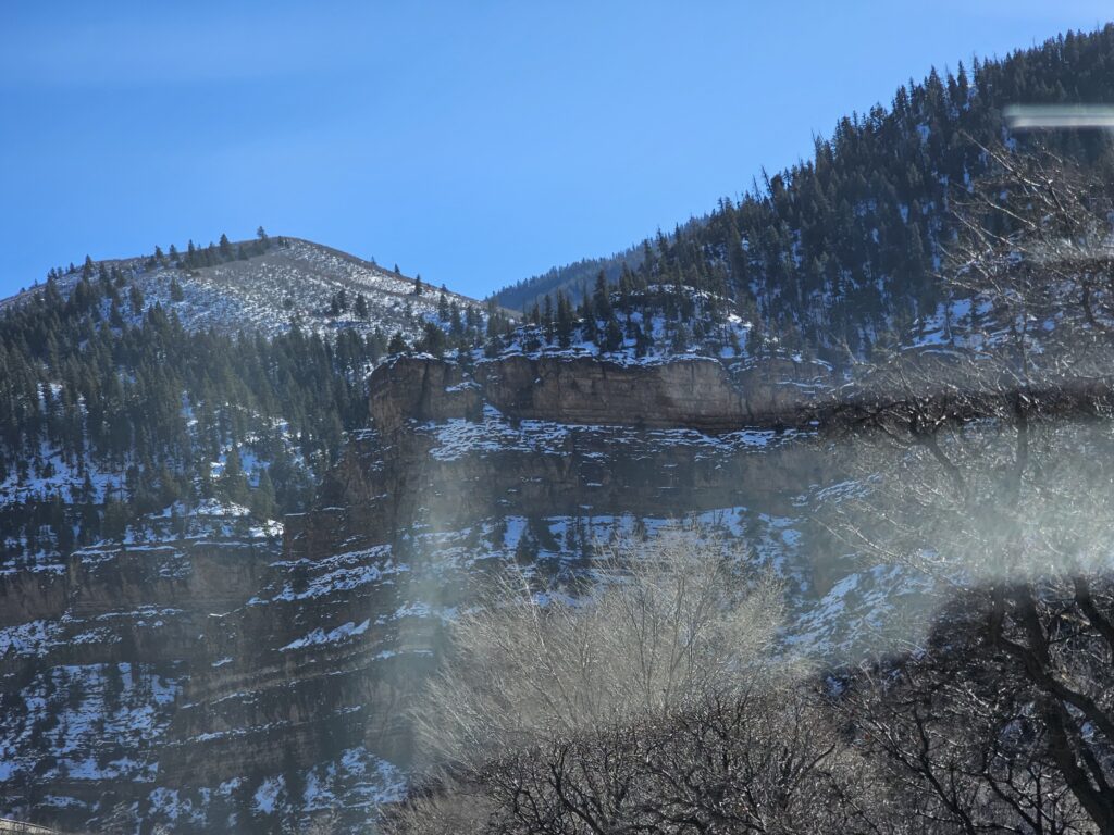
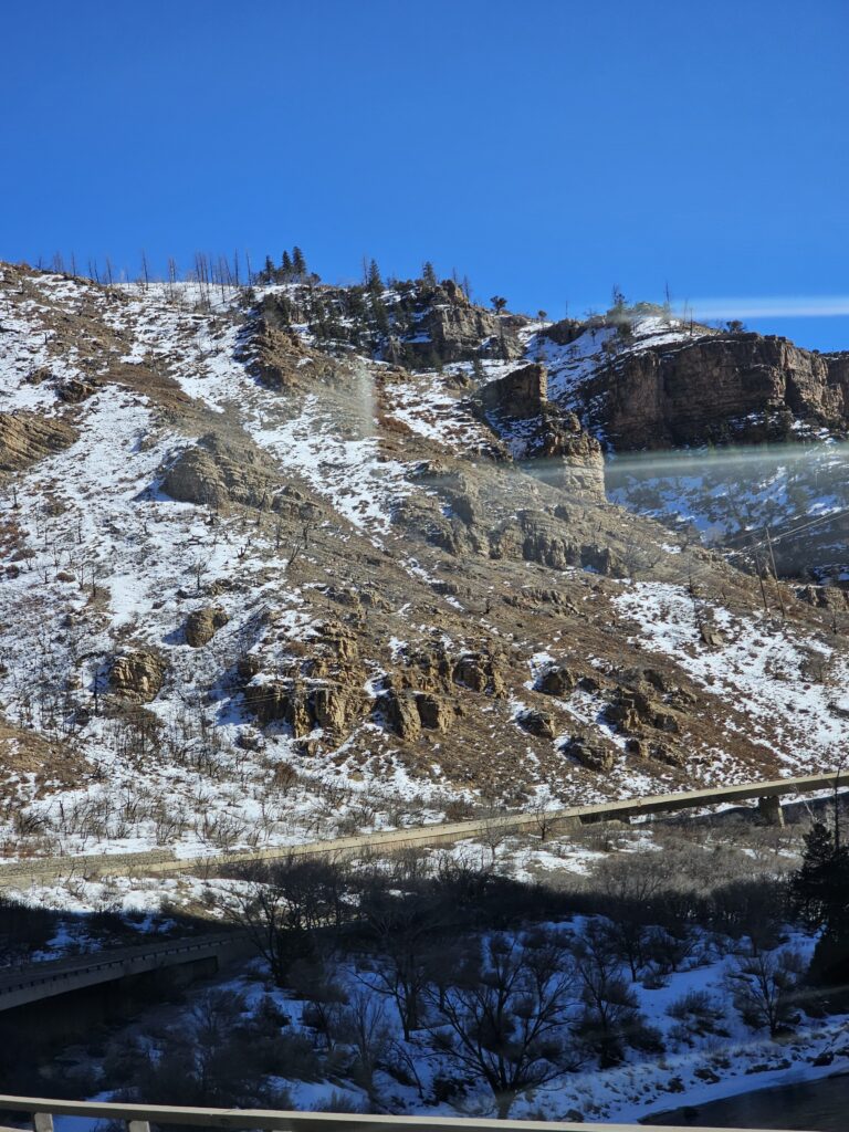
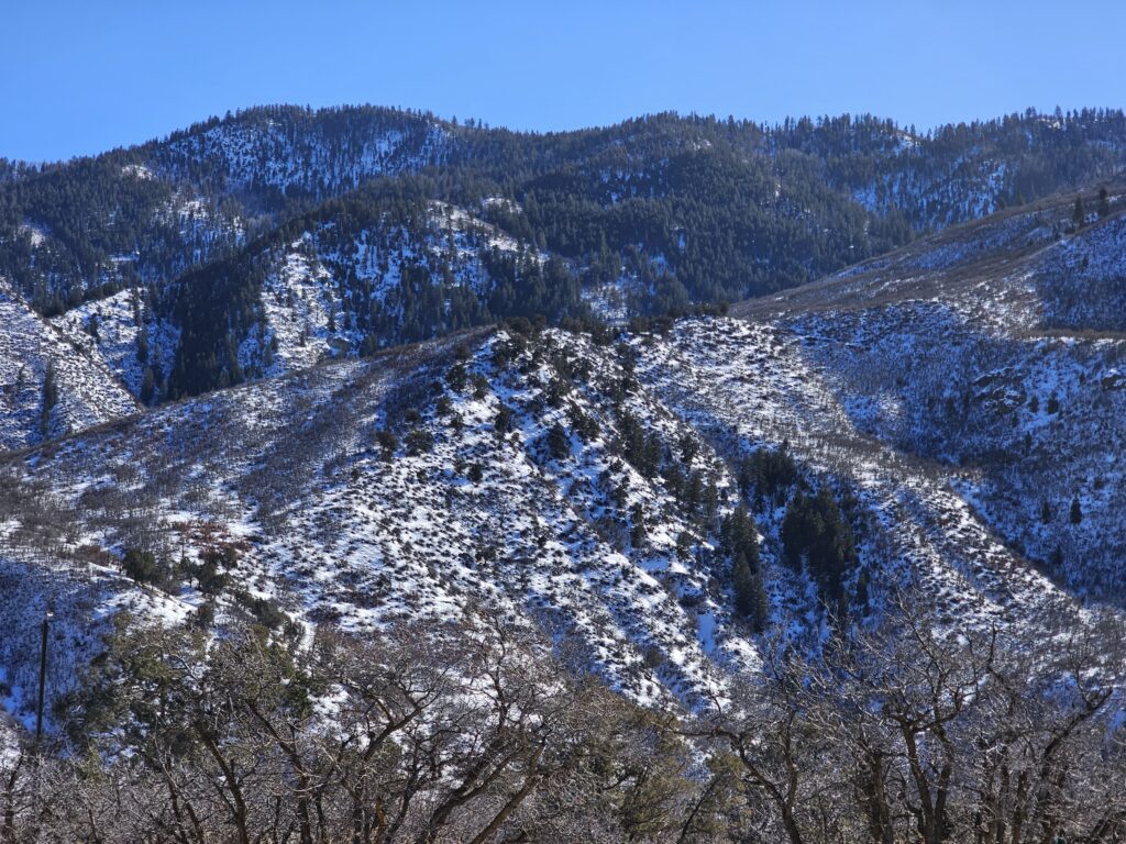
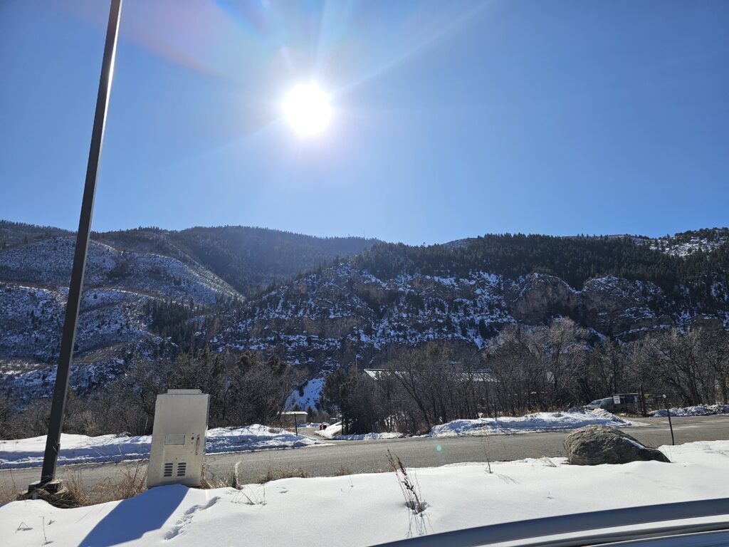
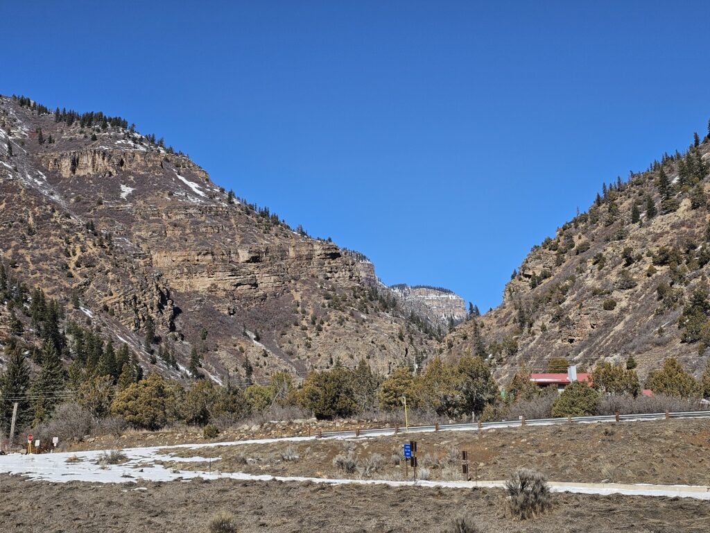
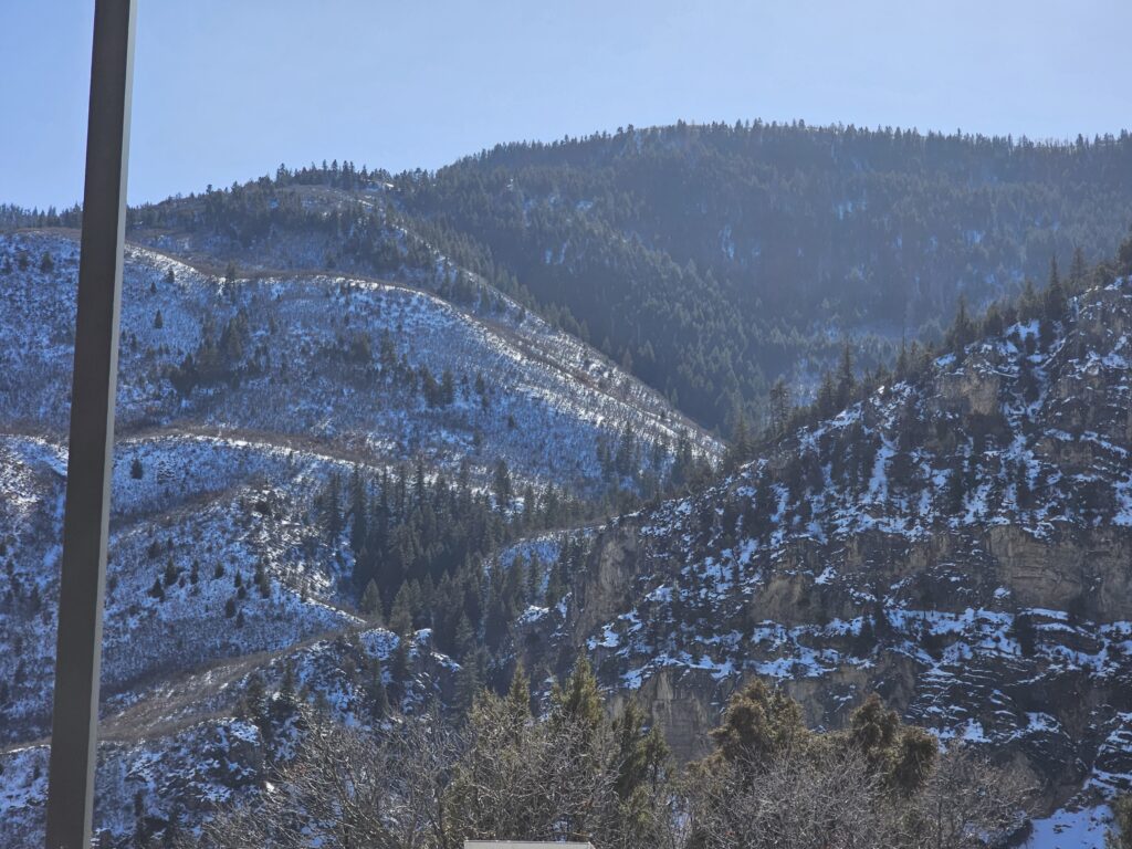
Enjoy
After some travel and some nasty weather, I am back.
Map of the route “I’m Back!”: 2.37 mi, 253 ft of climbing and 220 ft of descent, elevation between 5,558 ft and 5,627 ft, time 00:37:47. It is a loop that starts and ends at 39.69069, -104.77482 (latitude, longitude).
Let’s see if I can keep the streak going!
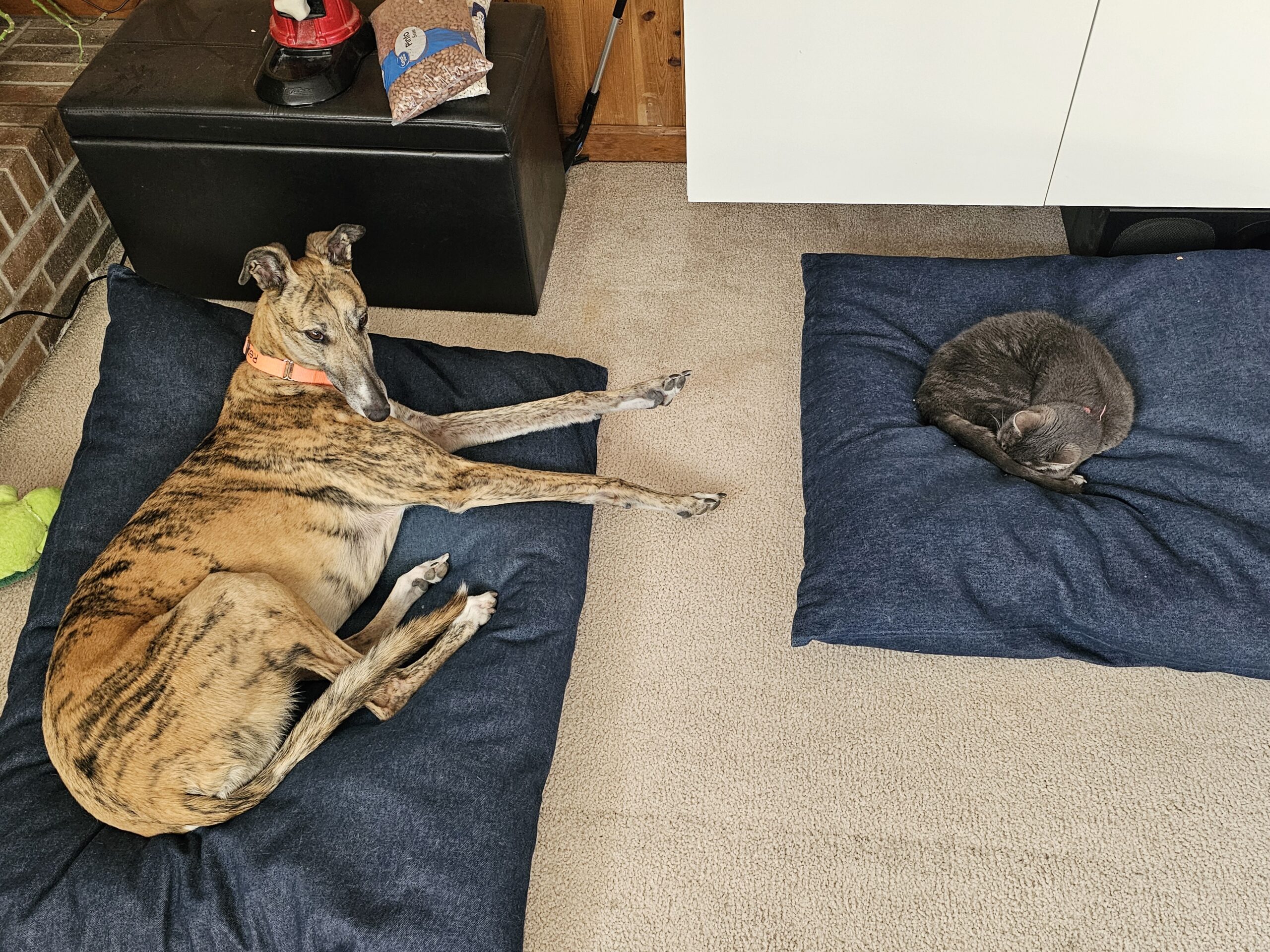
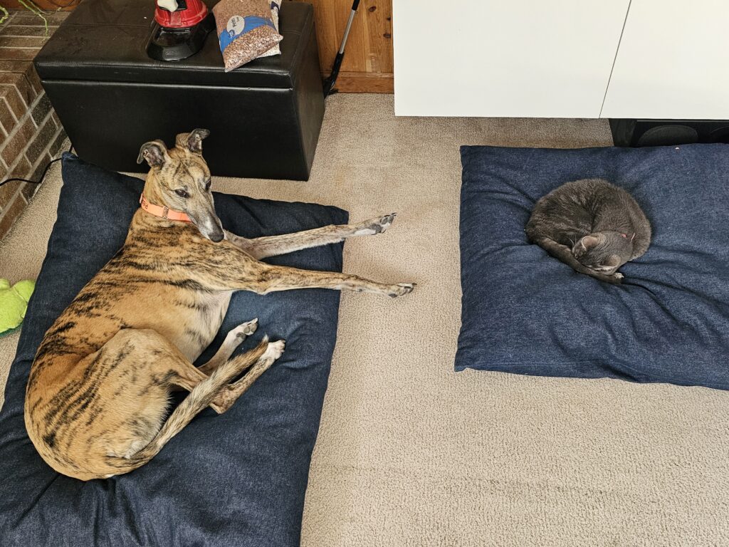
The little wanna be greyhound and the big overgrown puppy greyhound