Author: cmolnar

  • October 27, 2025 – Longmont, CO

    October 27, 2025 – Longmont, CO

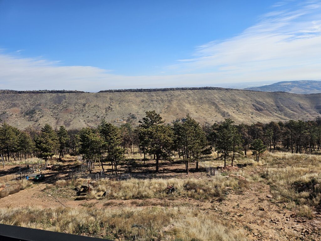
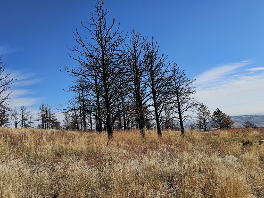
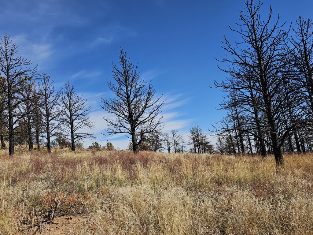
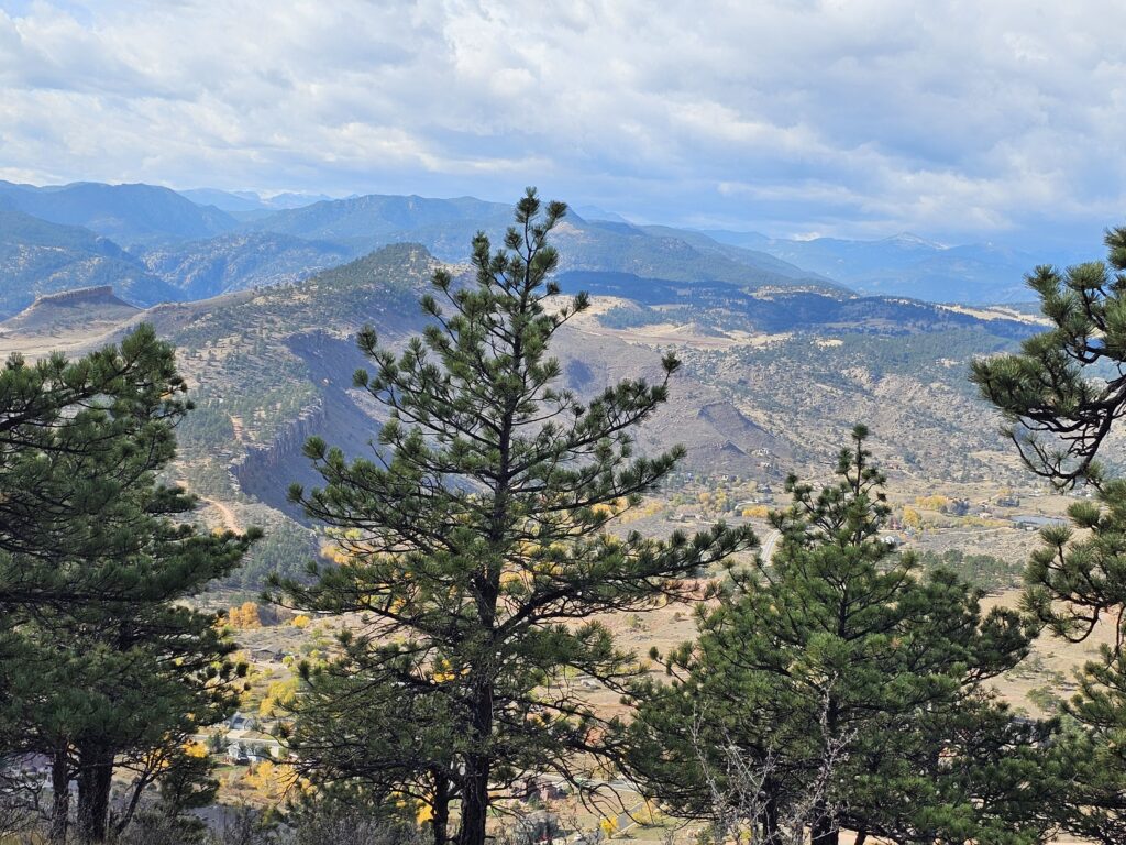
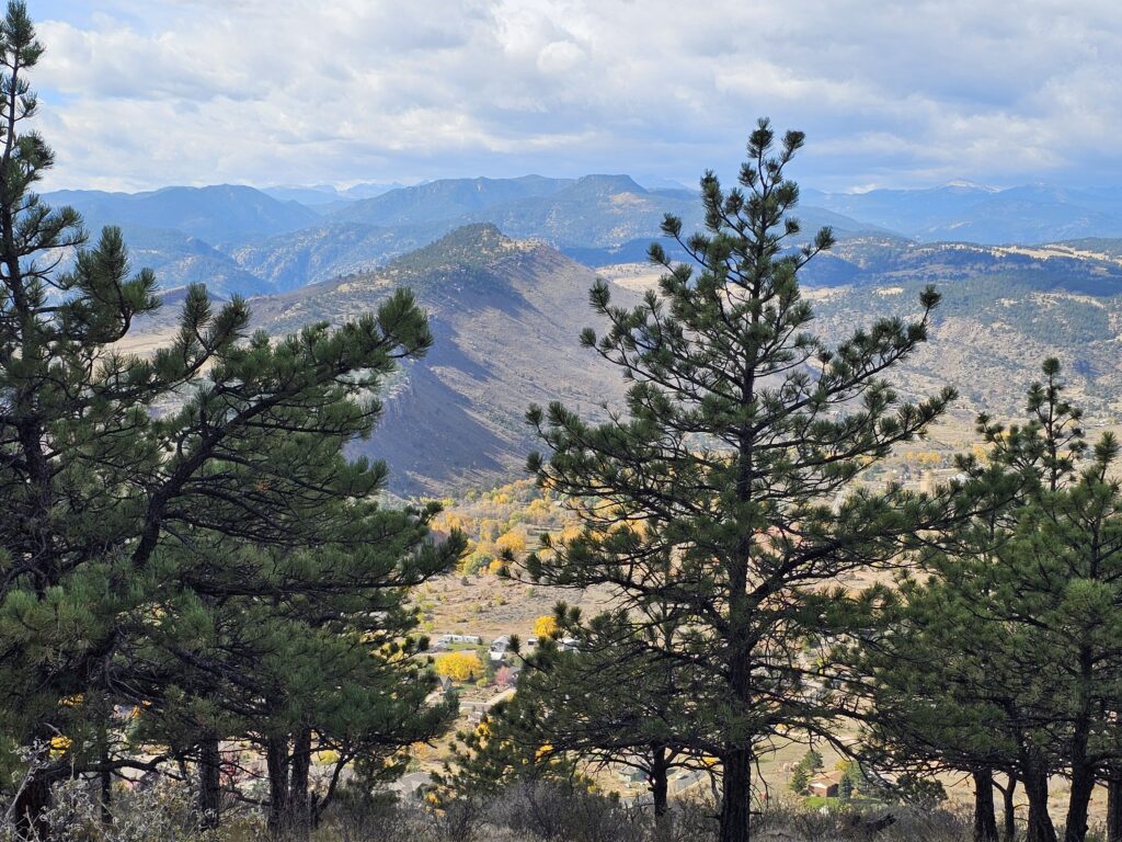
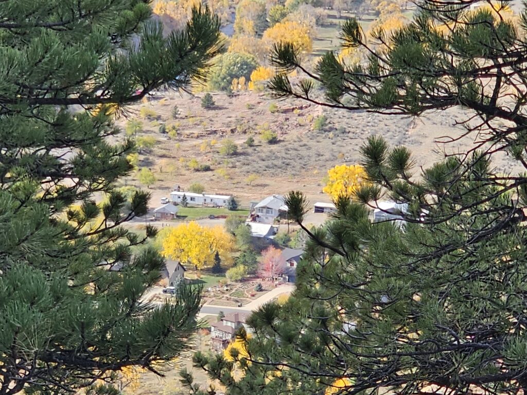
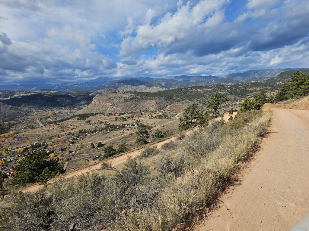
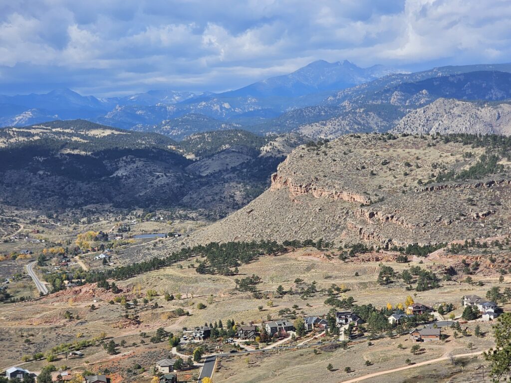
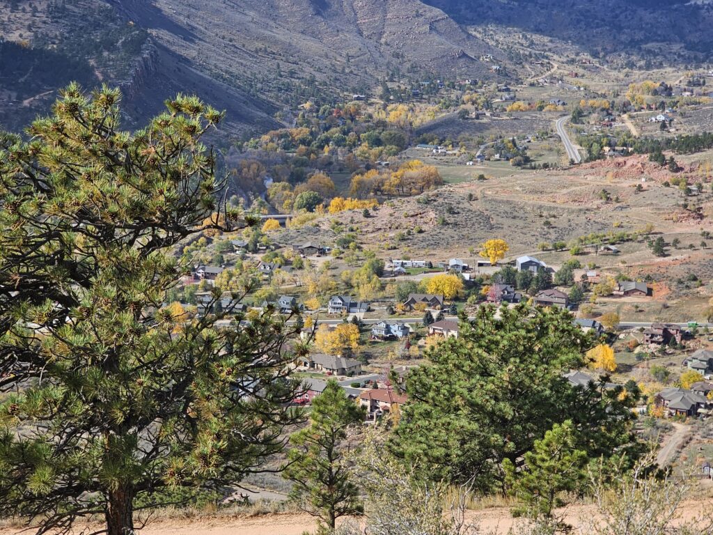
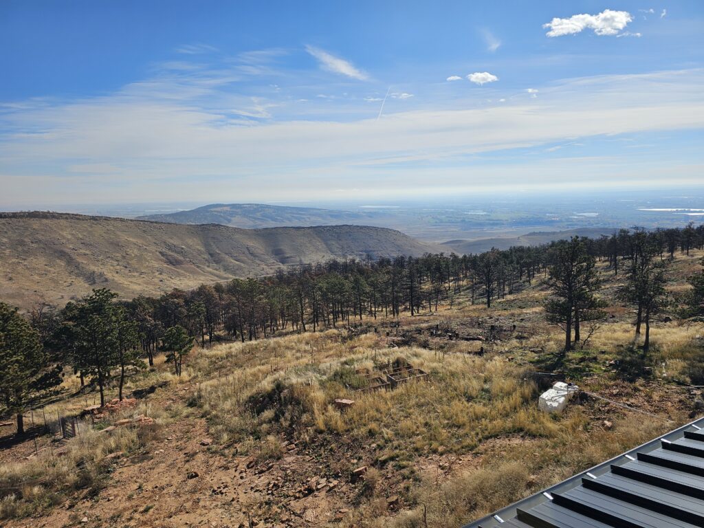
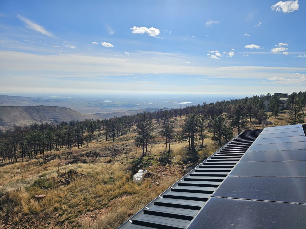
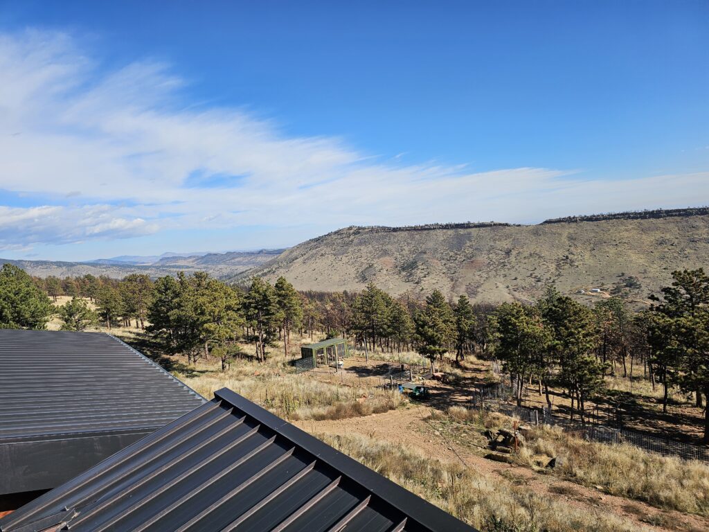
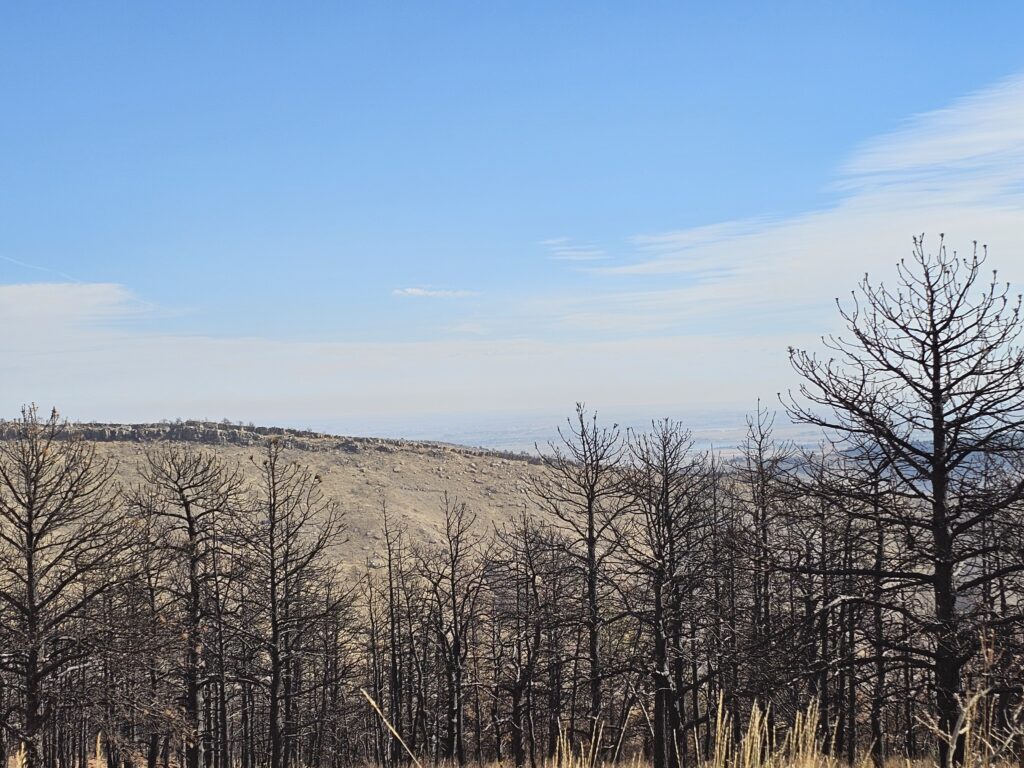
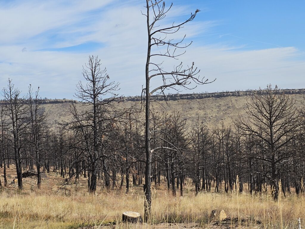
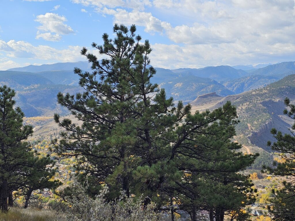
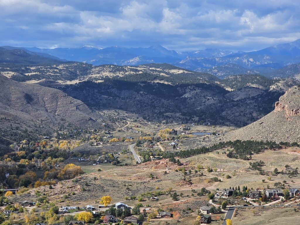
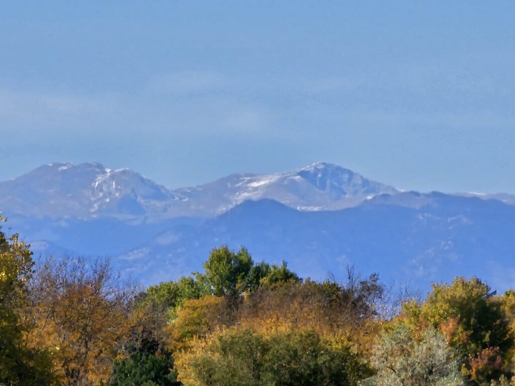
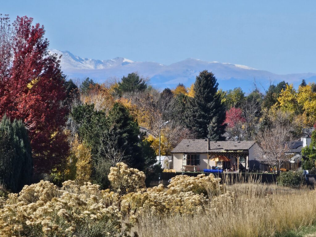
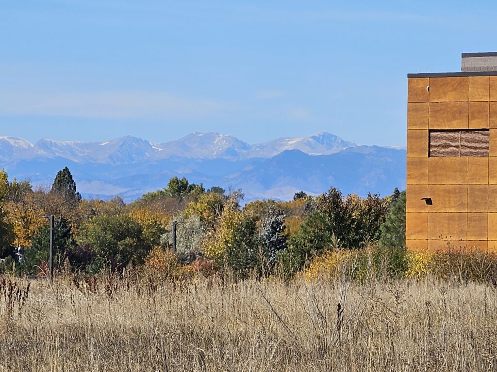
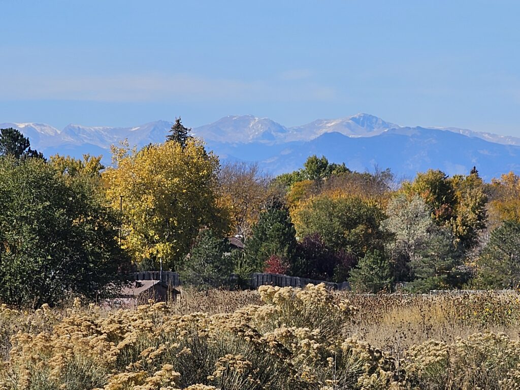
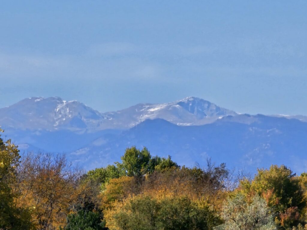
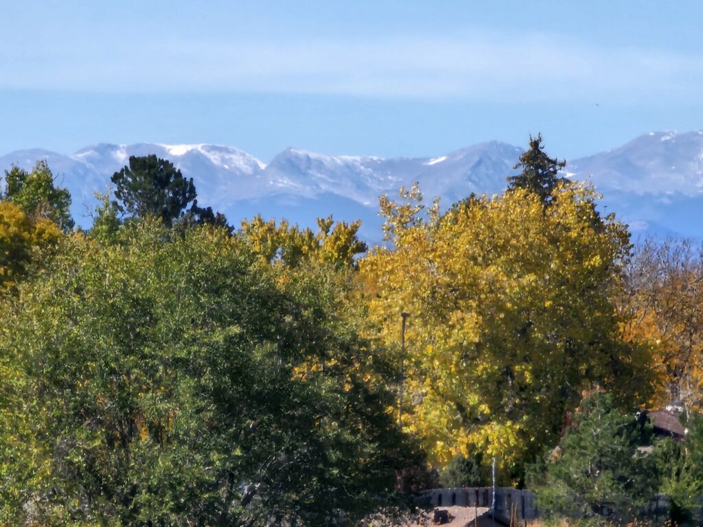
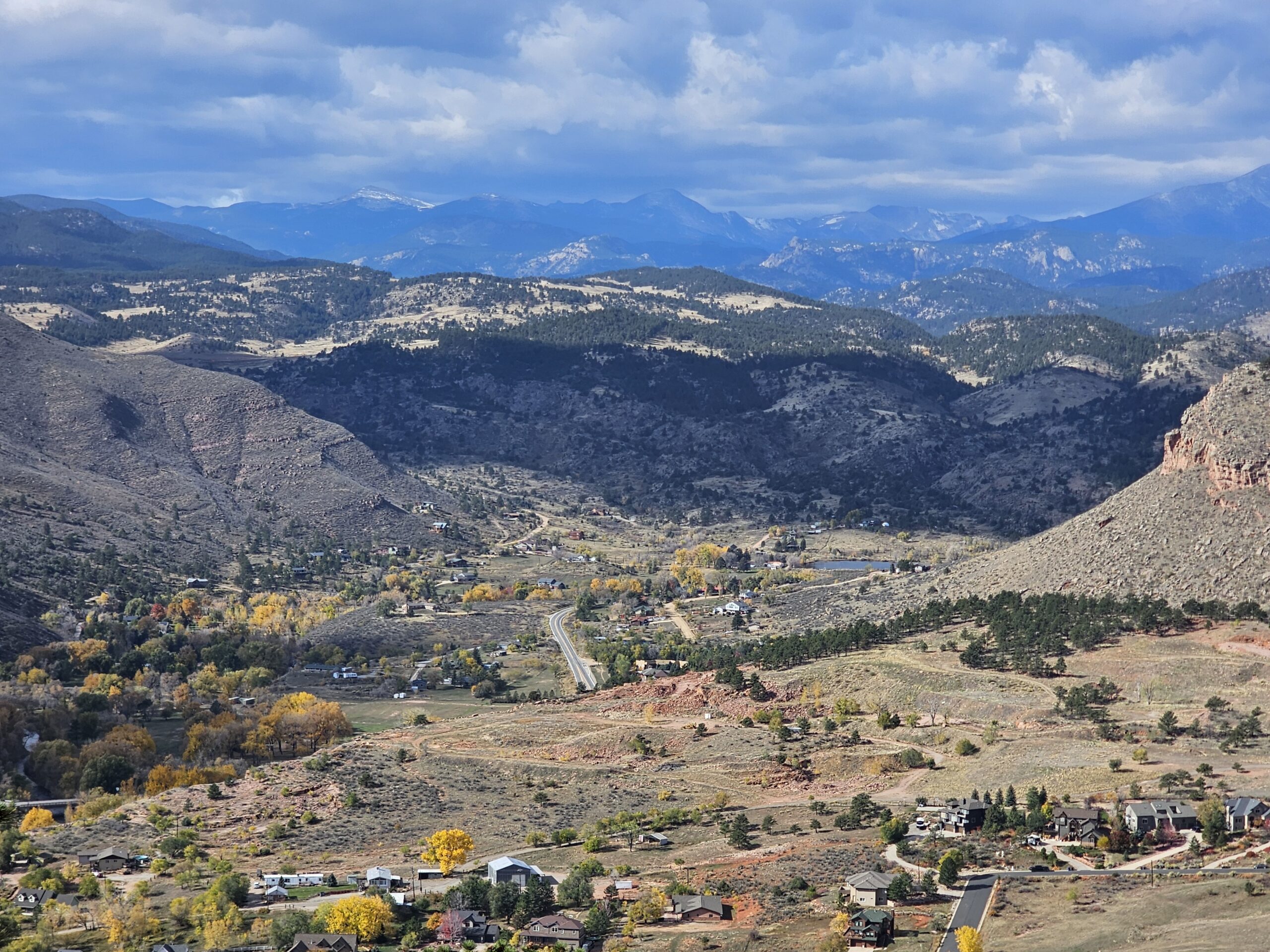
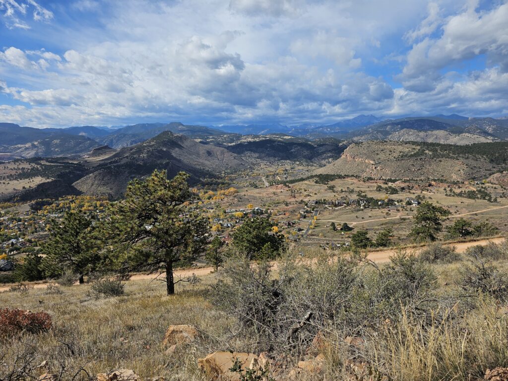
    Today was spent with a drive up to Longmont, CO for a solar inspection. When I accepted the appointment I did not realize it involved a drive up a 3.7 mile, almost vertical dirt road with multiple switchbacks, single car width, no guardrails and pretty steep drop-offs. I did stop on the way down in a few places to take a few photographs. This area was part of the 2024 wildfires.

    The fire retardant dropped from the air tankers can corrode and etch both metal and glass if not cleaned off properly in a timely manner. This is becoming an immense problem in all of the wildfire areas. It is a corrosive material.

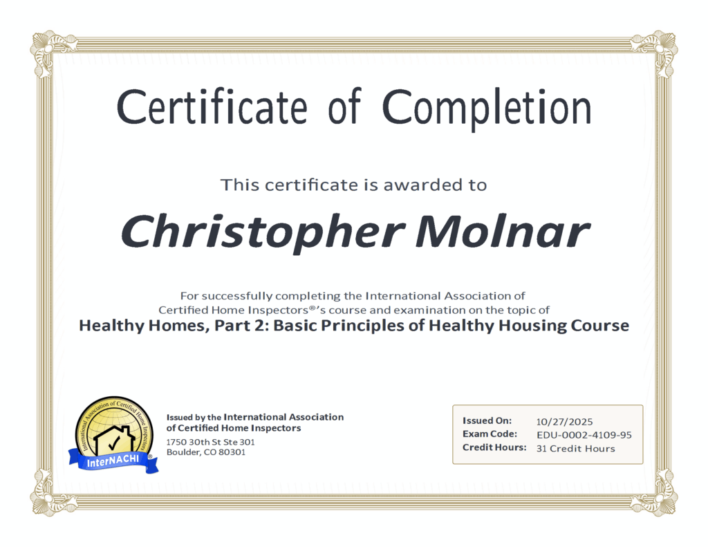
    This evening I completed yet another continuing education course in the Healthy Homes Series I am trying to finish. Got a ways to go, this is a pretty long series of courses. 2 down 16 to go. Maybe I will have that done by next year.

    It’s going to get cold tonight. The morning low will be 25 degrees. To make this more special it was raining this evening so everything may be a little slick in the morning.

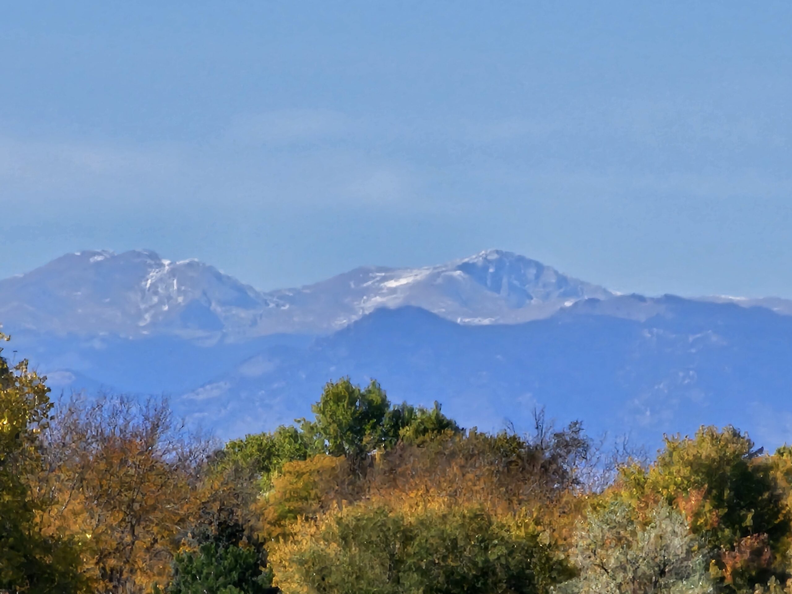
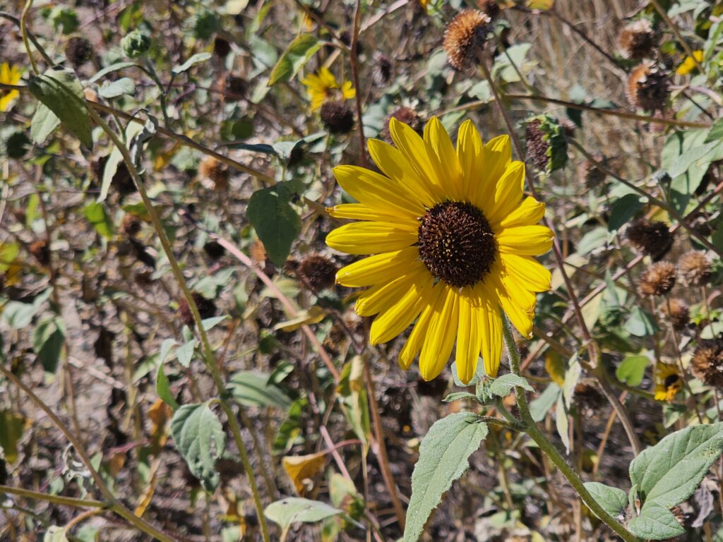
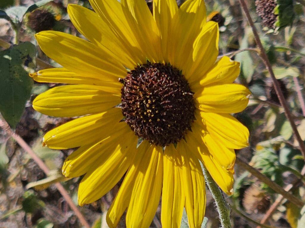
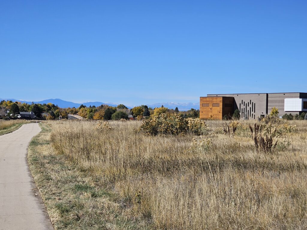
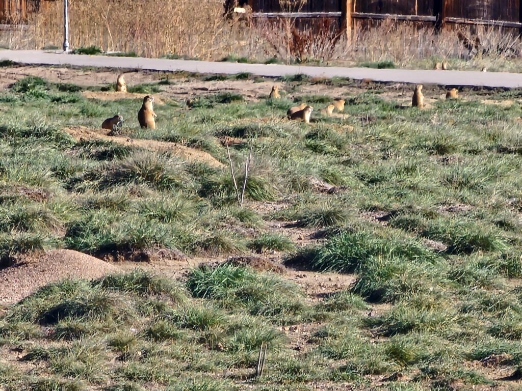
    Here are a few photographs from my travels today.
    And we have another certificate for the collection.
  • October 26, 2025 – Connections and Winter Prep

    October 26, 2025 – Connections and Winter Prep

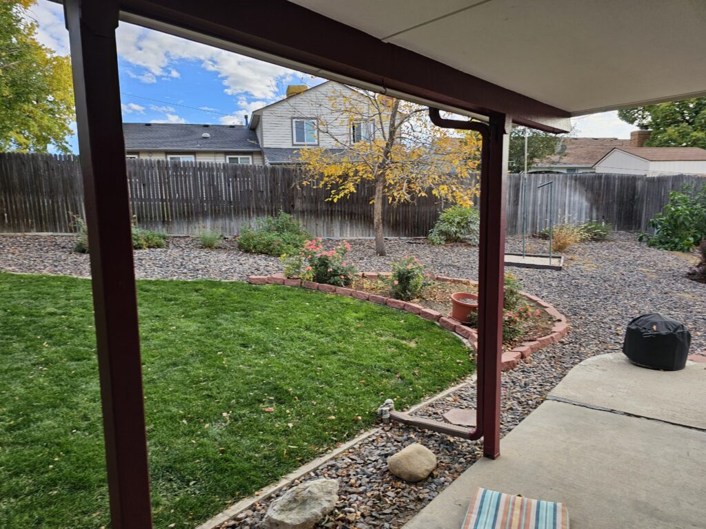
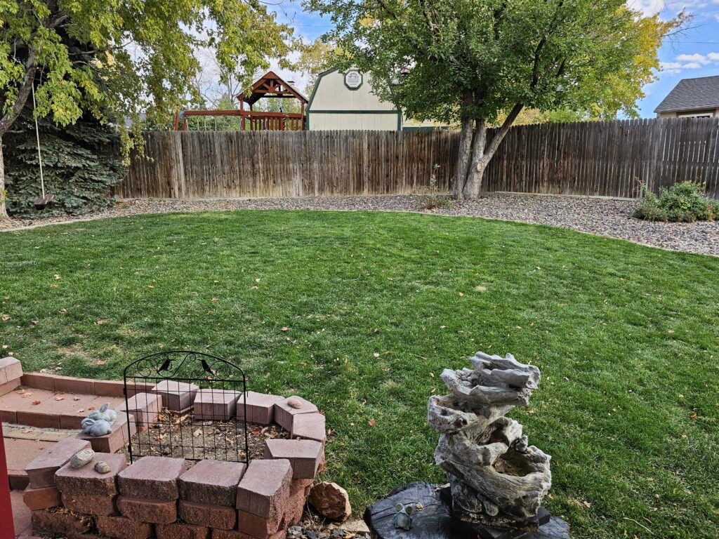
    Busy day today. It was Winter cleanup day here in Aurora, Colorado. First Jesse cleaned up the leaves around the rock in the backyard, then it was time to blow out the irrigation system so that the lines do not freeze over the Winter. We are now ready. Of course in the process of blowing the lines out we did find another broken pipe from last Winter. Can’t win on that. At least it is not the constant battle with sand that we had going on in Florida.

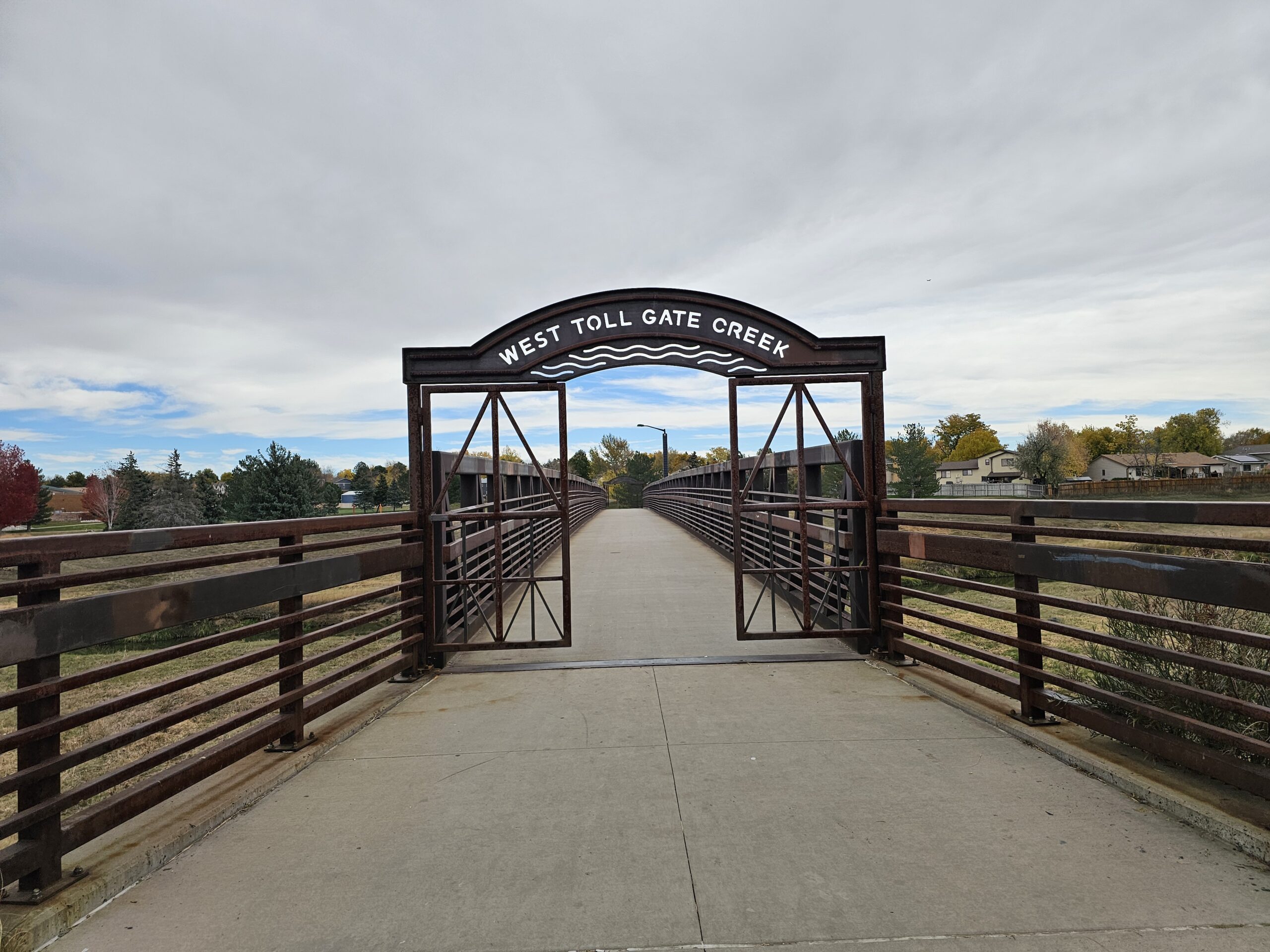
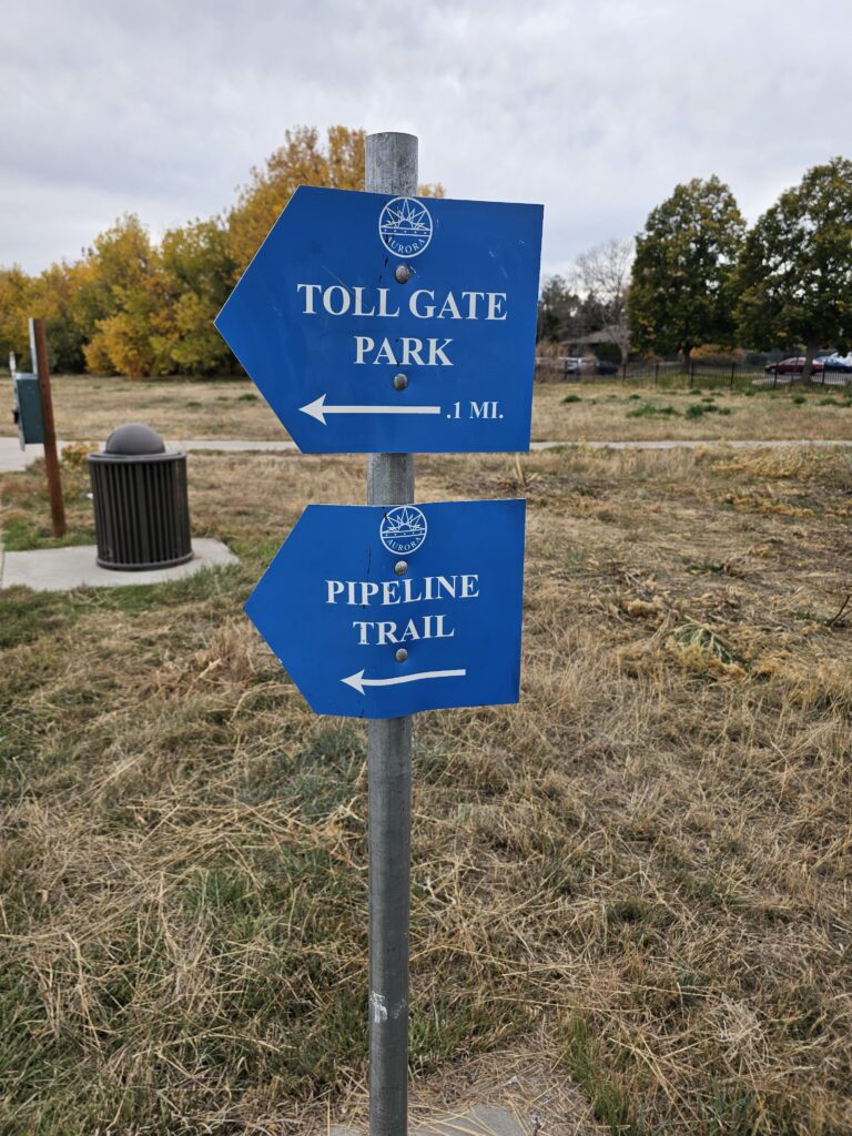
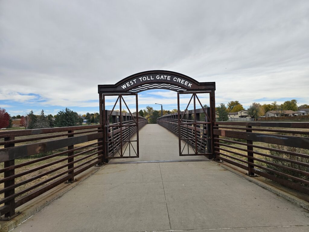
    I did get out for a little over an hour to connect the two sections of trails on my workout tracks that have been driving me nuts figuring out how I was going to connect them. Now that nagging space in the GPS maps is gone and I can start on the rest of the trails. My goal for this coming week is to finish the Toll Gate Creek Trail. There is not that much left.

    Climber got into some trouble today. She has re-started her high pitched whining when she can’t see her people. I really thought we were done with that, guess not. She is going to have to learn that this will just result in a loud bang on her crate and a “CLIMBER, KNOCK IT OFF!” Res hates it when we get onto Climber, he leaves the room and goes and sleeps someplace else.

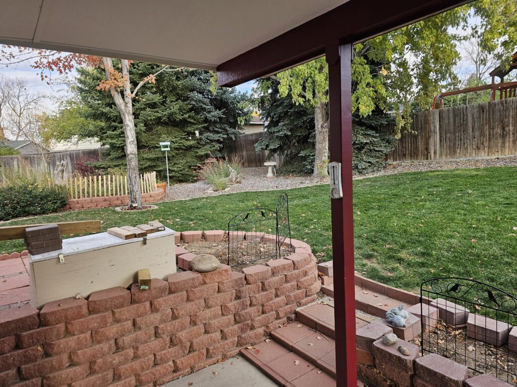
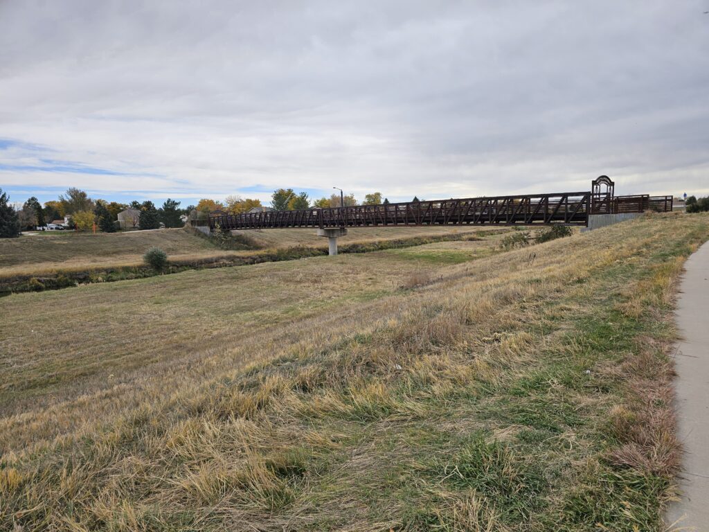
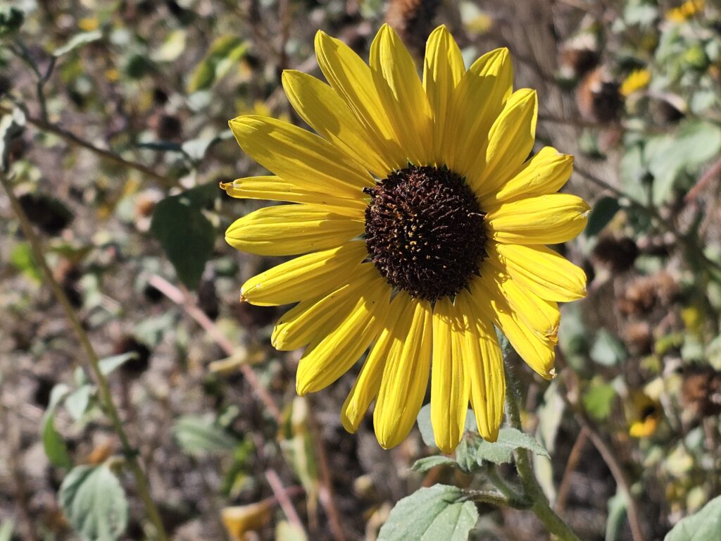
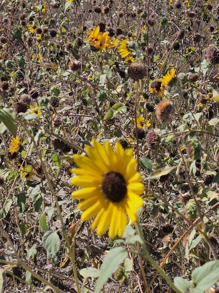
    The photos above are from various activities today.

    My GPS track for today’s workout:

    Total distance: 5.09 mi
    Max elevation: 5518 ft
    Min elevation: 5438 ft
    Total climbing: 347 ft
    Total descent: -341 ft
    Average speed: 4.21 mi/h
    Average cadence: 58
    Average heart rate: 129
    Average temperature:
    Total time: 01:14:42

  • October 25, 2025 – What to do today?

    October 25, 2025 – What to do today?

    This morning’s walk started at the Central Recreation Center and then up the Toll Gate trail to Horseshoe Park (yesterday’s area of interest) and then back down the Toll Gate Trail past the rec center and towards Quincy Reservoir. I still have a nagging little gap on the Toll Gate trail I will fill in on a day without much time (City Hall to Mississippi Avenue). Would really like to join those two sections, but parking is a pain in that area.

    Total distance: 4.97 mi
    Max elevation: 5627 ft
    Min elevation: 5533 ft
    Total climbing: 265 ft
    Total descent: -255 ft
    Average speed: 4.12 mi/h
    Average cadence: 57
    Average heart rate: 131
    Average temperature:
    Total time: 01:13:33

    Took some neat photographs on my walk. Take a look at the gallery below.

  • Jesse @ FineArtAmerica.com

    Jesse has added more neat photography to FineArtAmerica.com, please check it out at:
    https://fineartamerica.com/profiles/jesse-pannell/shop

    Take a look at the images tab.

  • October 24, 2025 – Horseshoe Park

    I am trying to get serious again with my effort to explore and map all of the Aurora, Co bike paths and trails. This is not a one year project and I did hit a setback with my coals with my health issues over the Summer.

    Today it was Horseshoe Park.

    Total distance: 4.87 mi
    Max elevation: 5608 ft
    Min elevation: 5505 ft
    Total climbing: 362 ft
    Total descent: -361 ft
    Average speed: 4.17 mi/h
    Average cadence: 57
    Average heart rate: 129
    Average temperature:
    Total time: 01:11:07

    Nice walk to connect a Olympic Park from earlier this week with Powerline Trail

    My current progress since the doctors approved my return to activity follow my Cardiac Ablation and earlier IVC filter removal.

    Total distance: 5.88 mi
    Max elevation: 5732 ft
    Min elevation: 5429 ft
    Total climbing: 5702 ft
    Total descent: -5732 ft
    Average speed: 4.12 mi/h
    Average cadence:
    Average heart rate:
    Average temperature:
    Total time: 04:44:41

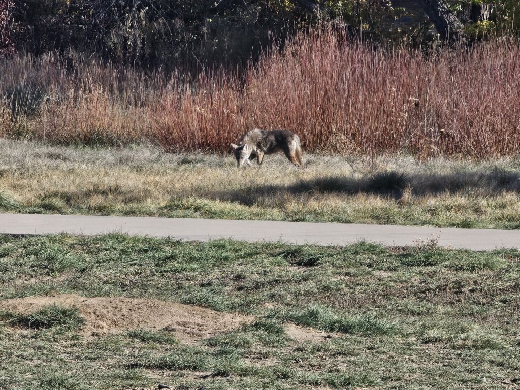
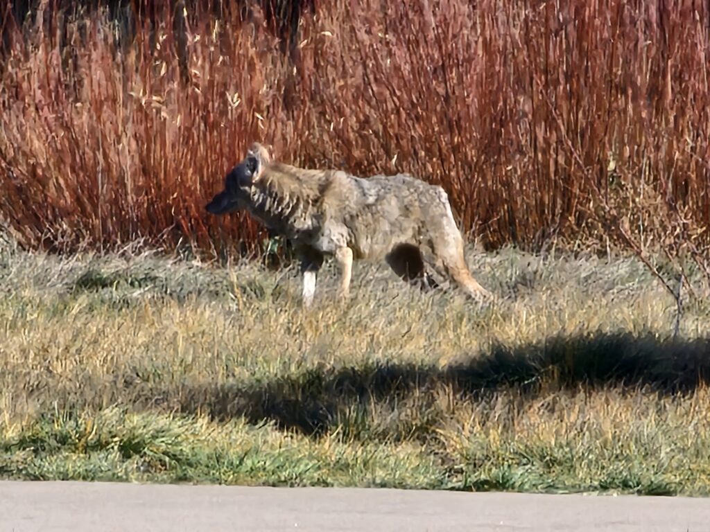
    Some wildlife was hunting and being hunted on the trail connecting Horseshoe Park to Toll Gate and Power Line Trails.

  • Good morning from AHR Expo day 1

    Good morning from AHR Expo day 1

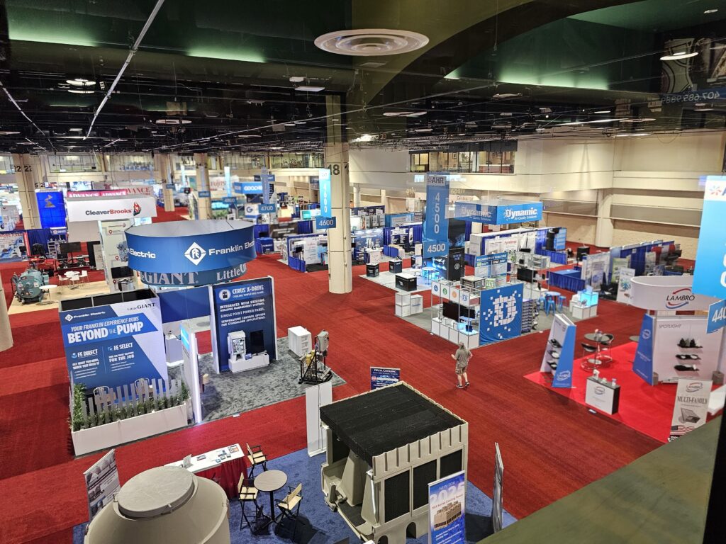
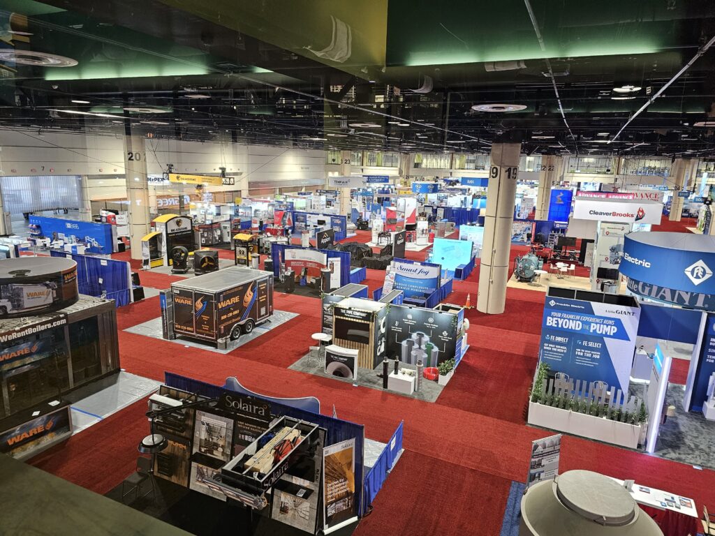
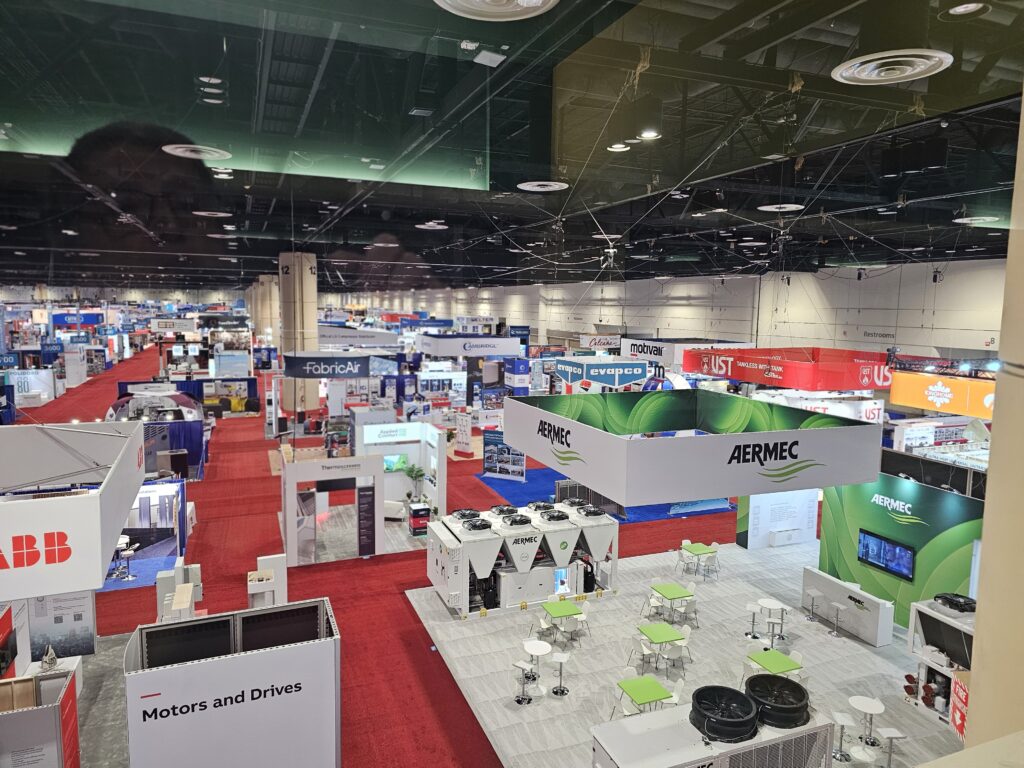
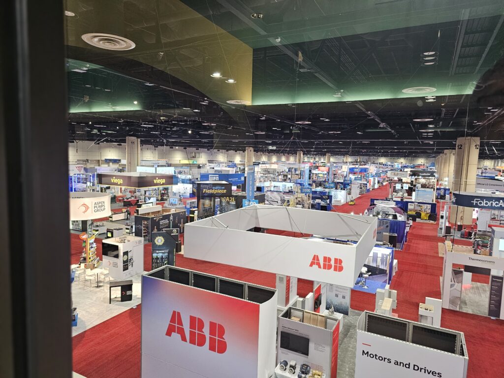
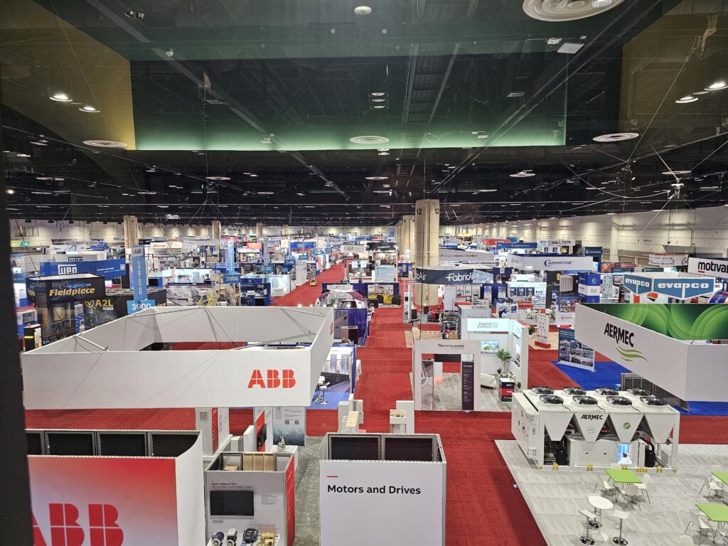
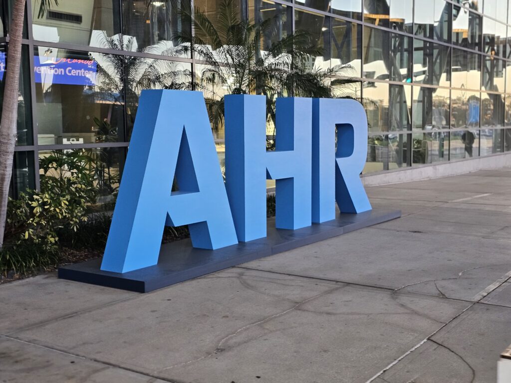
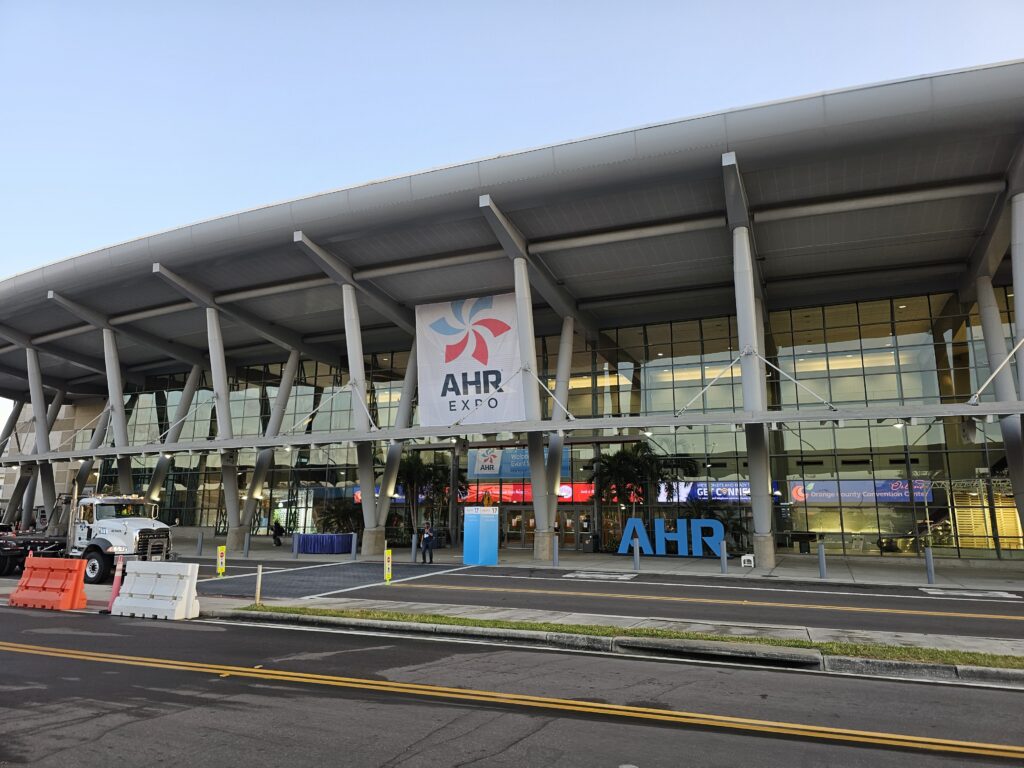
    And today starts the AHR expo 2025 in Orlando, FL.

    Me at way to early this morning

    Lots and lots of exhibits.

    Sort of a big deal.

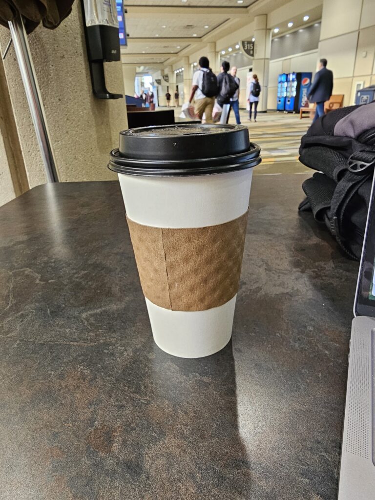
    But dang, I just paid 6.92 for a cup of coffee.

    Liquid Gold
  • Good morning!

    Started off the day with an early morning and Jesse bringing me to the airport.

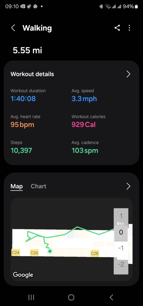
    What else am I going to do with my 2.5 hours early? Of course, get me steps in. Walking each terminal is a little over 5.5 miles.

  • Good Morning!

    Time to check out more of the Aurora, CO trails. A little over 3 miles this morning.

    Total distance: 3.82 mi
    Max elevation: 5587 ft
    Min elevation: 5485 ft
    Total climbing: 479 ft
    Total descent: -432 ft
    Average speed: 3.86 mi/h
    Average cadence:
    Average heart rate:
    Average temperature:
    Total time: 01:01:36

    Temp was a “pleasant” 37 degrees. Hope if warms up more today.

  • Had to get the walk in

    After doing some work around the house I decided to head out and get my steps/miles in for the day. I also listen to my podcasts during this time and try and figure out what’s wrong with the world. Sort of depressing but the walk helps. Came across some protesters outside the base entrance. Base security was not happy.

    Total distance: 3.82 mi
    Max elevation: 5587 ft
    Min elevation: 5485 ft
    Total climbing: 479 ft
    Total descent: -432 ft
    Average speed: 3.86 mi/h
    Average cadence:
    Average heart rate:
    Average temperature:
    Total time: 01:01:36

    Ended up on more sidewalk than trail today. But, that is OK I really did want to see the neighborhood more.

  • Res’s Morning Walk!

    Good Morning everyone!

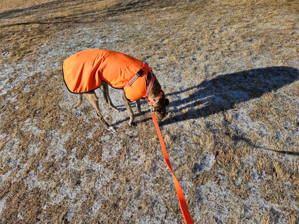
    Res and I had a nice morning walk today. Perfect temperatures and he got to sniff around and sniff around, and sniff around…. you get the picture. There was a little snow on the ground, just a dusting, but it was gone by later in the morning.

    Total distance: 1.36 mi
    Max elevation: 5483 ft
    Min elevation: 5422 ft
    Total climbing: 226 ft
    Total descent: -219 ft
    Average speed: 2.66 mi/h
    Average cadence:
    Average heart rate:
    Average temperature:
    Total time: 00:36:59