I am trying to get serious again with my effort to explore and map all of the Aurora, Co bike paths and trails. This is not a one year project and I did hit a setback with my coals with my health issues over the Summer.
Today it was Horseshoe Park.
Total distance: 4.87 mi
Max elevation: 5608 ft
Min elevation: 5505 ft
Total climbing: 362 ft
Total descent: -361 ft
Average speed: 4.17 mi/h
Average cadence: 57
Average heart rate: 129
Average temperature:
Total time: 01:11:07
Max elevation: 5608 ft
Min elevation: 5505 ft
Total climbing: 362 ft
Total descent: -361 ft
Average speed: 4.17 mi/h
Average cadence: 57
Average heart rate: 129
Average temperature:
Total time: 01:11:07
Nice walk to connect a Olympic Park from earlier this week with Powerline Trail
My current progress since the doctors approved my return to activity follow my Cardiac Ablation and earlier IVC filter removal.
Total distance: 5.88 mi
Max elevation: 5732 ft
Min elevation: 5429 ft
Total climbing: 5702 ft
Total descent: -5732 ft
Average speed: 4.12 mi/h
Average cadence:
Average heart rate:
Average temperature:
Total time: 04:44:41
Max elevation: 5732 ft
Min elevation: 5429 ft
Total climbing: 5702 ft
Total descent: -5732 ft
Average speed: 4.12 mi/h
Average cadence:
Average heart rate:
Average temperature:
Total time: 04:44:41
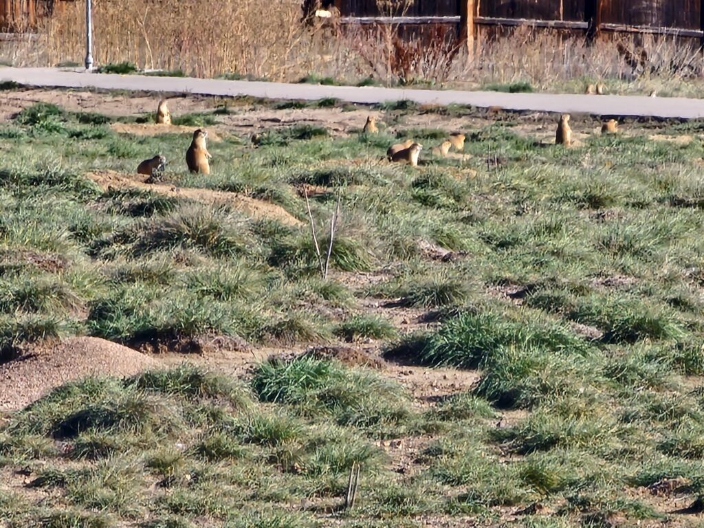
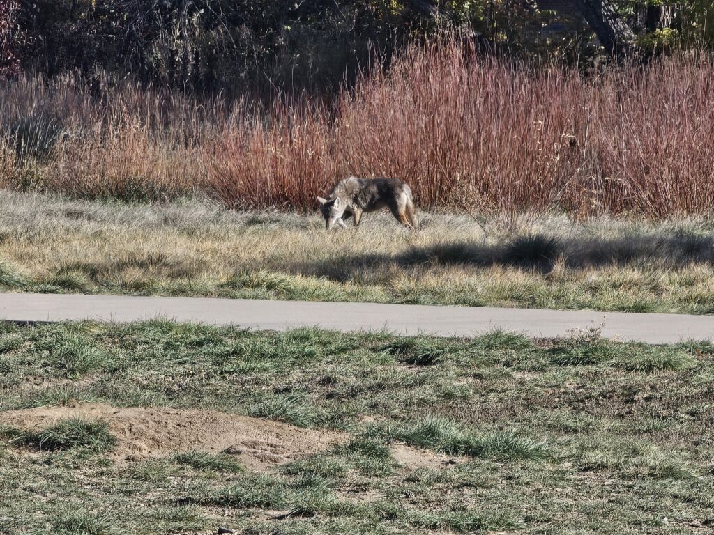
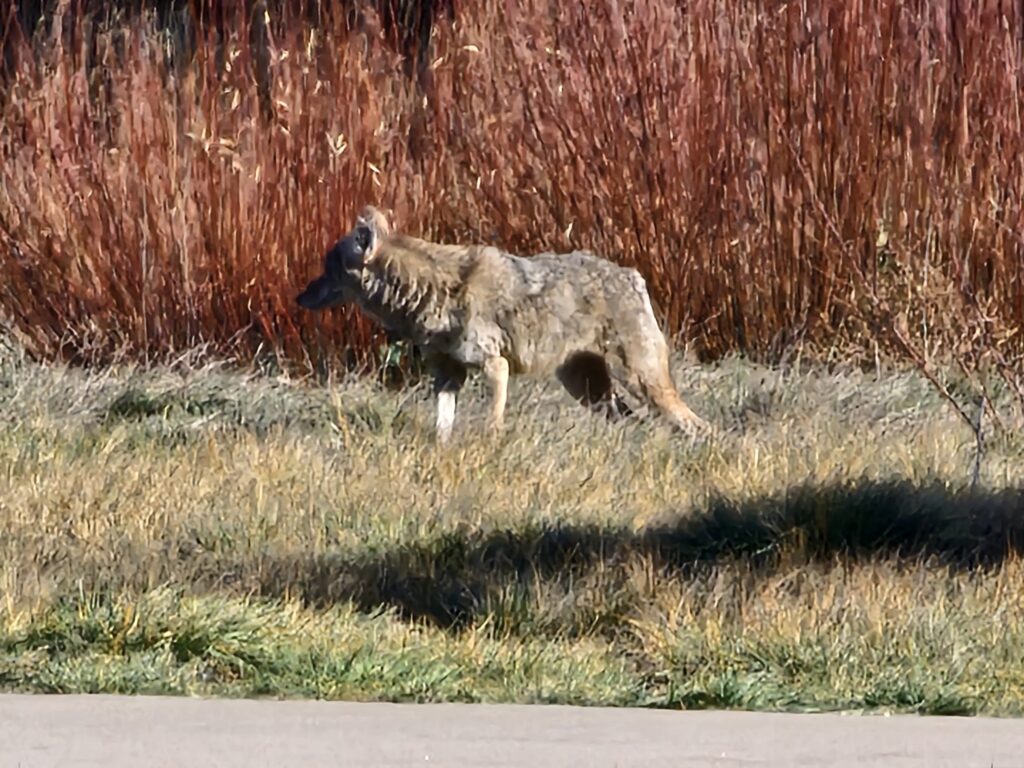
Some wildlife was hunting and being hunted on the trail connecting Horseshoe Park to Toll Gate and Power Line Trails.