Me: Res…. why did you just pick out a specific piece of kibble, lick it off, and toss it on the floor?
Res: It didn’t smell right.
Me: [sneaking same kibble back in bowl] Res, you left some food.
Res: [Walks over and sniffs bowl] Nope, I already evaluate these 6 pieces and found them lacking.
Me: What are you going to do when we run out of kibble and all you have left is your discarded pieces?
Res: We won’t run out. I already know there is a brand new bag of my food over there in the corner.
Me: Brat.
Author: cmolnar
-
Res and his Kibble
👍️0❤️0😂0😮0😢0😡0 -
Indoor Workout Today
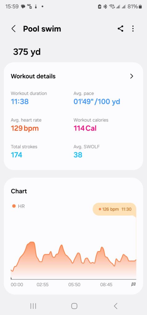
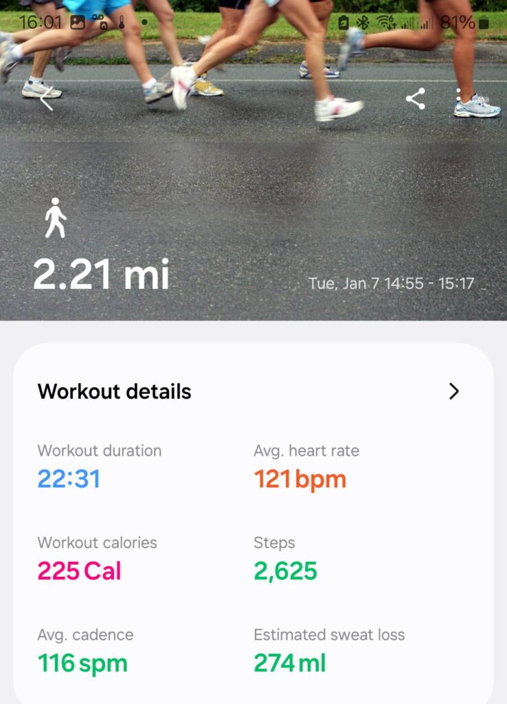
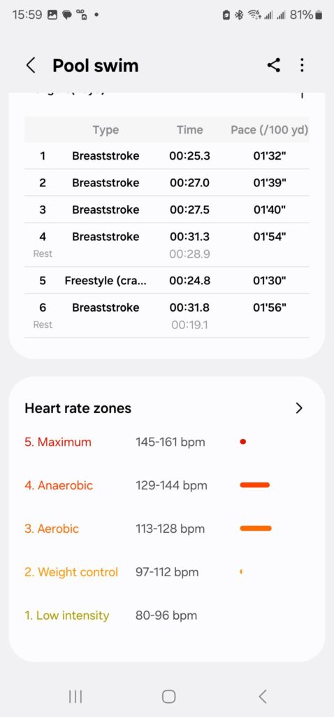
Today is a nice snowy day. So an indoor 2 mile track walk( boring) and then a short swim.


👍️0❤️0😂0😮0😢0😡0 -
Peanut Kooties
This makes me smile every time it comes up in memories.

13 Years Ago
Christopher Molnar added a new photo.
Jan 07, 2012 6:07:15 pm
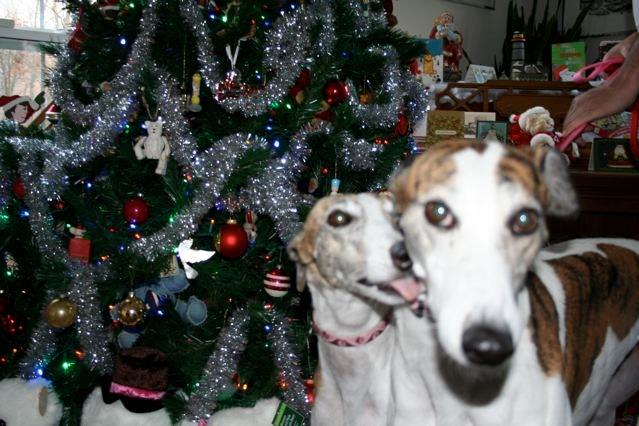
Trying to take Christmas pics for next years cards before tree comes down. Peanut decided to help by kissing Mindy. Bluck! Peanut kooties!
👍️0❤️0😂0😮0😢0😡0 -
Canada post Christmas cards
And our Canadian friends Christmas Cards just started to arrive today.
👍️0❤️0😂0😮0😢0😡0 -
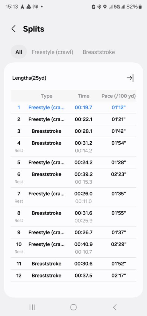
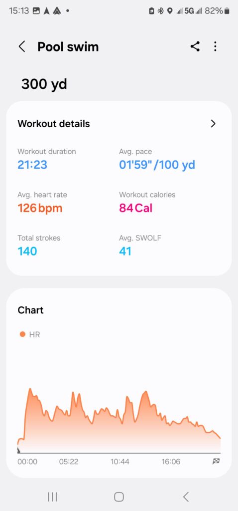
First Swim in 3 Years… I Suck
Well that sucked. First time back in pool for close to 3 years. That was embarrassing.

👍️0❤️0😂0😮0😢0😡0 -
And another one complete
It looks like travel is in my near future. I am never good about working out while traveling, most often I am exhausted. So, this may be it for a few days.
Map of the route “And another one complete”: 3.25 mi, 305 ft of climbing and 262 ft of descent, elevation between 5,423 ft and 5,535 ft, time 00:49:55. It is a loop that starts and ends at 39.69075, -104.77533 (latitude, longitude).
Total distance: 3.28 mi
Max elevation: 5537 ft
Min elevation: 5422 ft
Total climbing: 305 ft
Total descent: 263 ft
Average speed: 4.03 mi/h
Average cadence:
Average heart rate: 125
Average temperature:
Total time: 00:50:21👍️0❤️0😂0😮0😢0😡0 -
Hello from Aurora, CO
And it is now the 4th. Doing good here.
Map of the route “Hello from Aurora, CO”: 2.25 mi, 246 ft of climbing and 236 ft of descent, elevation between 5,456 ft and 5,518 ft, time 00:38:01. It is a loop that starts and ends at 39.69068, -104.77424 (latitude, longitude).
Total distance: 2.26 mi
Max elevation: 5520 ft
Min elevation: 5455 ft
Total climbing: 246 ft
Total descent: 237 ft
Average speed: 3.64 mi/h
Average cadence:
Average heart rate: 116
Average temperature:
Total time: 00:38:16👍️0❤️0😂0😮0😢0😡0 -
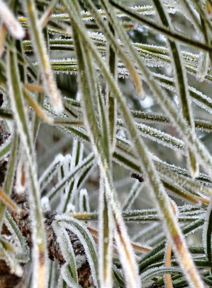
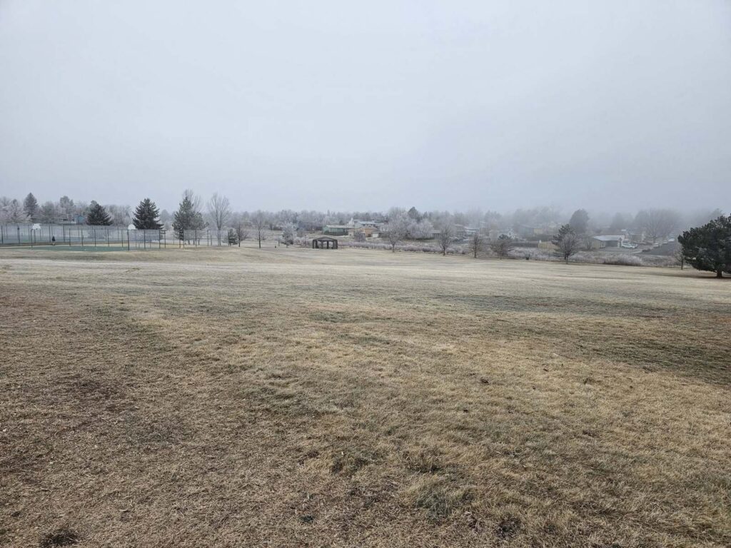
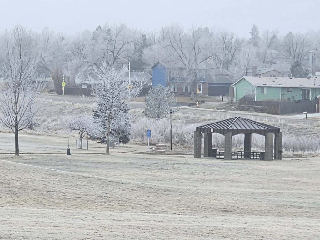
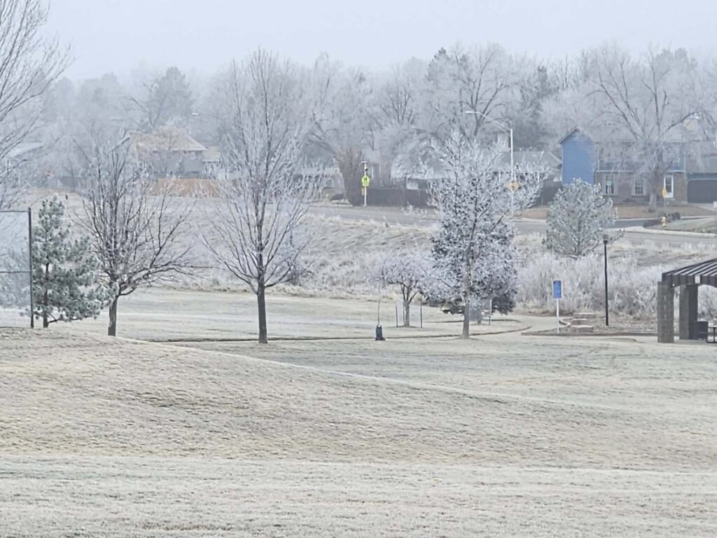
Ice Fog
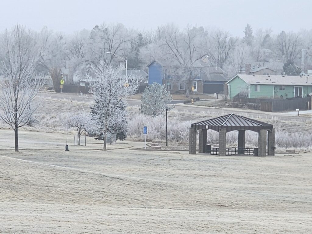
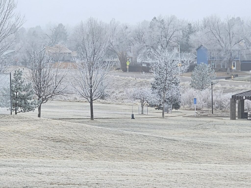
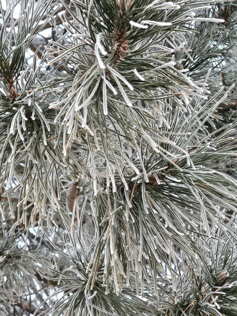
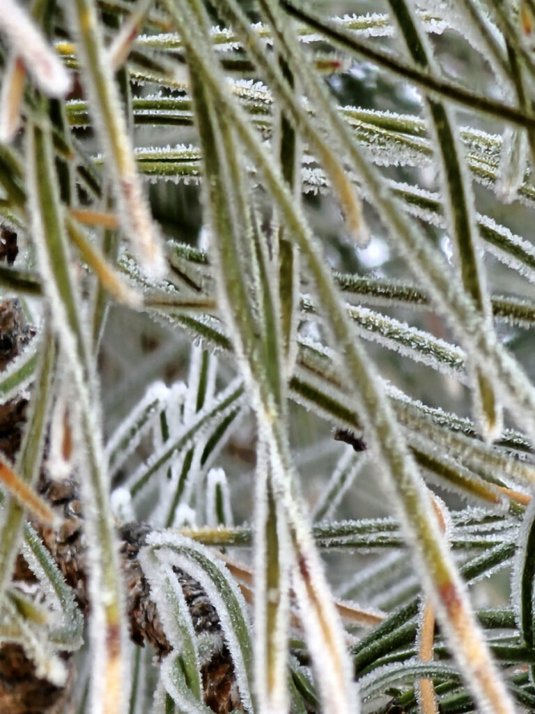
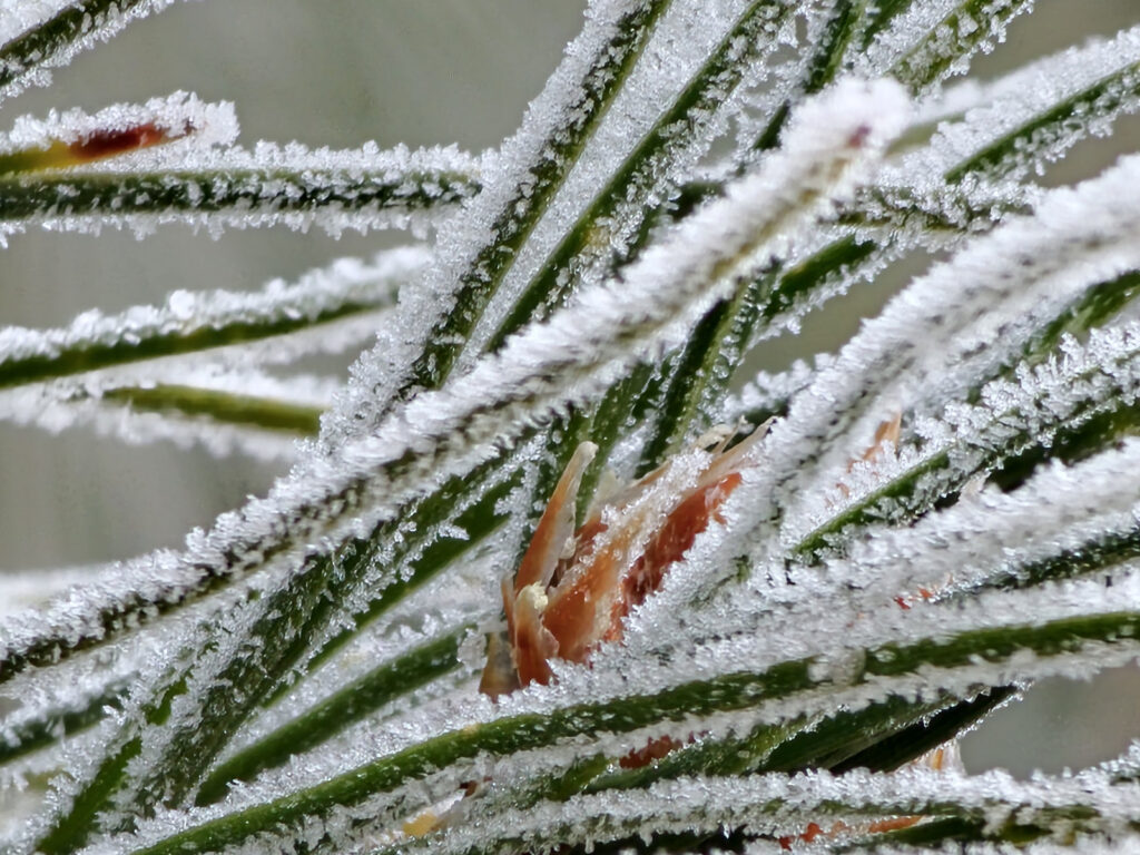
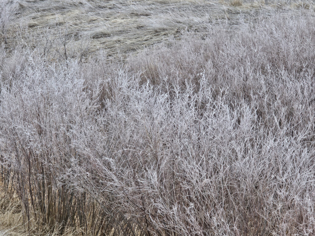
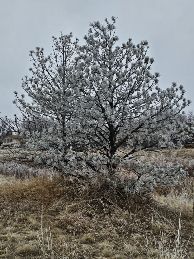
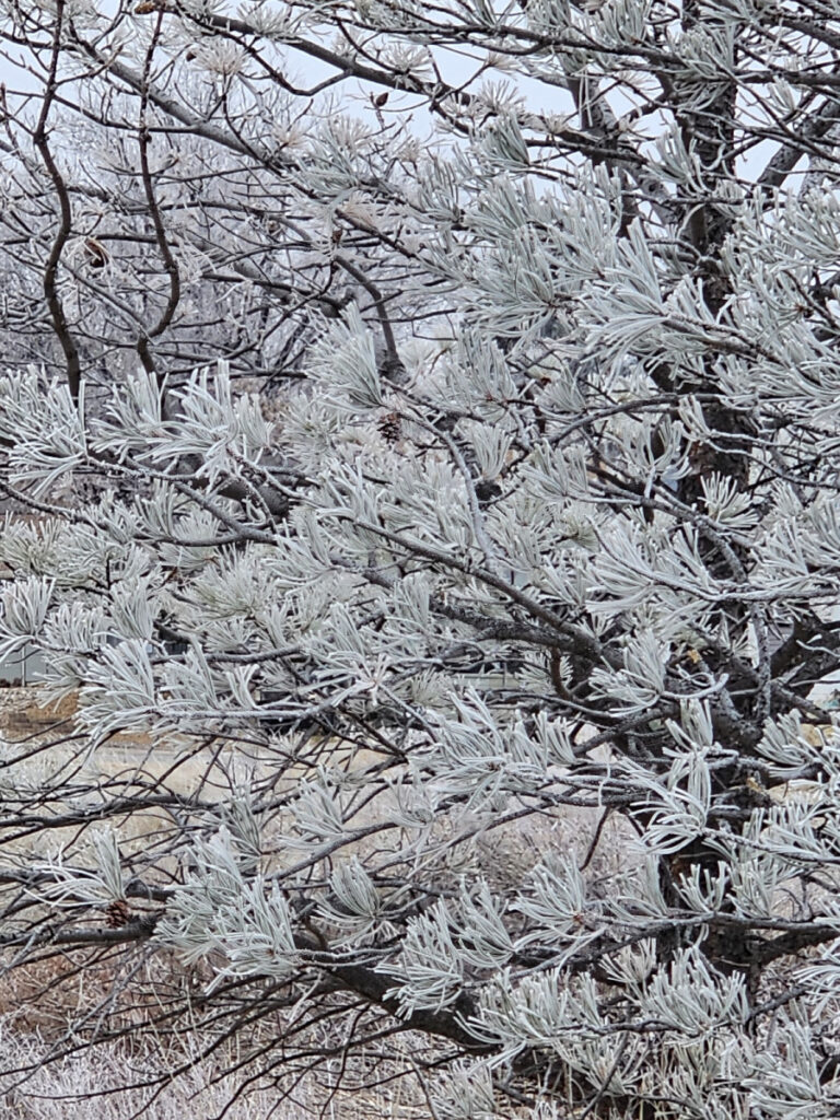
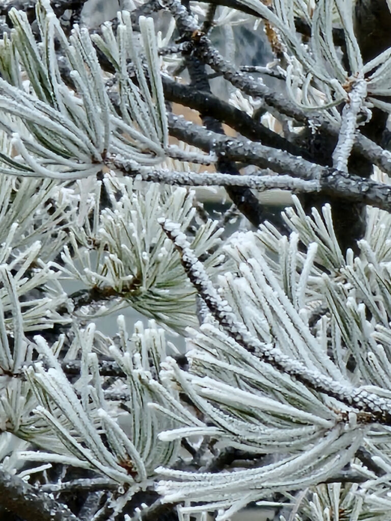
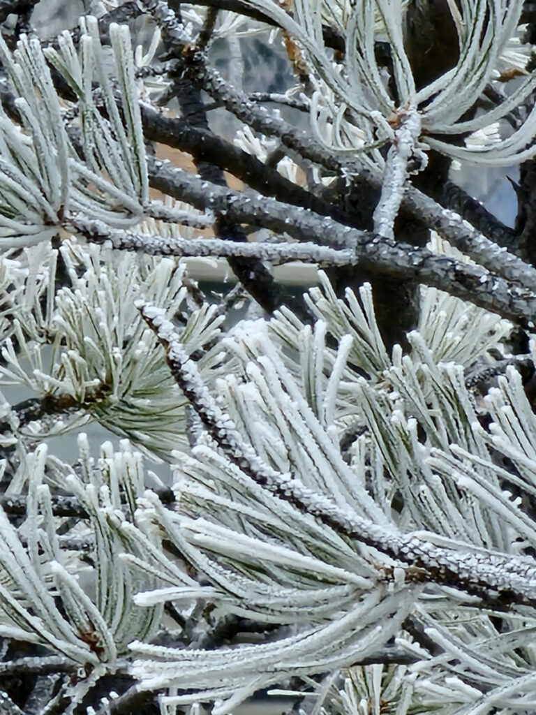
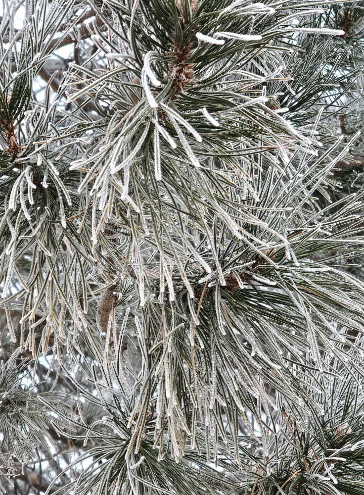
Today we had an “ice fog” in Aurora, CO. This is were the temperatures fall below 32 degrees on the ground, but there is still warmth in the atmosphere. The ice freezes on contact. Made for some nasty walking but it was really cool to look at.


👍️0❤️0😂0😮0😢0😡0 -
A little bit each day!
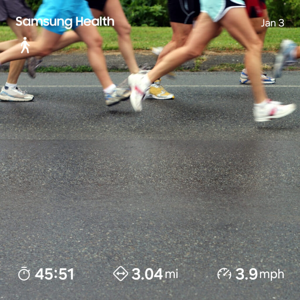
Yeh, I am catching up with my fitness posts in mid-February, but I decided that I did want to share. Maybe someone else will find it useful.
Map of the route “A little bit each day!”: 3.01 mi, 289 ft of climbing and 269 ft of descent, elevation between 5,443 ft and 5,515 ft, time 00:45:08. It is a loop that starts and ends at 39.69048, -104.77406 (latitude, longitude).
Total distance: 3.04 mi
Max elevation: 5520 ft
Min elevation: 5442 ft
Total climbing: 288 ft
Total descent: 268 ft
Average speed: 4.07 mi/h
Average cadence:
Average heart rate: 122
Average temperature:
Total time: 00:45:32👍️0❤️0😂0😮0😢0😡0